HEAVY rain in low-lying areas at Tomago and Hexham have forced road closures on Sunday afternoon as the SES reminds people they should never drive through floodwaters.
Tomago Road, near the intersection of the Pacific Highway, was closed in both directions about 1.30pm on Sunday afternoon, while one southbound lane of the highway at Hexham was also shut.
The roads are heavily used during school holiday times with people heading north out of Newcastle or travelling through the Hunter to Sydney.
There are also minor closures on roads in Morpeth, Berry Park, Rutherford, Louth Park and Allandale due to water over the road.
EARLIER REPORT:
THE Hunter is on high alert for flash flooding on Sunday as the region is lashed with heavy rain due to a powerful east coast low.
And those looking to get away for the school holidays have been urged to cancel travel plans and stay inside.
"We are now facing dangers on multiple fronts; flash flooding, riverine flooding and coastal erosion," Minister for Emergency Services and Resilience and Minister for Flood Recovery Steph Cooke said during a press conference on Sunday morning.
"So If you live anywhere between Newcastle and Batemans Bay please don't be caught unaware by the current weather situation.
"This is a life-threatening emergency situation. If you know your local community is prone to flooding then please be prepared to evacuate and at short notice. And to all communities between Newcastle and Batemans Bay I am respectfully asking that you reconsider your travel plans at this time. Please stay home if you can."
The SES had responded to 1400 requests for assistance across the state in the last 24 hours, Ms Cooke said, and conducted 29 flood rescues.
Bureau of Meteorology meteorologist Jane Golding said the signs were heavy rain would stick around until at least Tuesday.
"As expected we have seen that east coast low form off the mid-north coast of NSW and we've seen that coastal trough continue to deepen so that is producing extraordinary rainfall rates over the last two days," she said. "Over the last 24 hours many locations have recorded upwards of 200mm of rain. "And some around the Illawarra up to 350mm. "So the east coast low is continuing to develop as forecast and the forecast is for it to continue to develop and track slowly southward into the Hunter coast and the Sydney coast over the next 24 hours. "The signs are that it will remain in our region until Tuesday."
The BOM issued a warning on Sunday morning saying heavy rainfall that may lead to flash flooding was forecast for the Hunter and Central Coast.
The warning said six-hourly rainfall totals between 70 to 120 mm were possible and damaging winds average 65km/h were likely along the coast.
"Heavy rainfall will further contribute to flooding already being experienced, and increases the potential for landslides," the BOM's warning said. "The damaging winds may lead to debris on roads and provides the risk for trees toppling in softer soils."
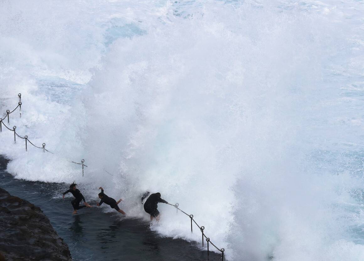
There is also a severe weather warning for damaging surf in the Hunter and Central Coast.
The wild weather has prompted Transport for NSW to urge people to take extra care on the roads during the winter school holidays.
And the government has also announced a special permit for flood-affected beekeepers to be allowed to move honeybees and hives despite the Varroa incursion.
Meanwhile, residents in Sydney's southwest are under evacuation orders as NSW's southern and central coast areas continue to battle relentless driving rain.
Flood warnings were issued for areas south and west of Sydney while residents and businesses in low-lying parts of suburbs including Camden, Wallacia, Liverpool, Georges Hall, Chipping Norton, Lansvale and Moorebank were told to get out before they got cut off by rising waters.
By Sunday morning, there was major flooding at Menangle in Macarthur, southwest of Sydney, with river levels exceeding those seen in March this year.
Riverine flooding was expected along the Hawkesbury and Colo Rivers from Sunday, with major flooding at North Richmond possible from the afternoon.
Authorities are confident they are ready to help NSW residents caught out by the wild weather, and avoid a repeat of their heavily criticised flood response earlier this year.
Defence force helicopters and troops remain on standby, while emergency services personnel are working around the clock.
The weather-front battering the state's east coast is forecast to get worse before it gets better, with wild winds, rough seas and heavy rain expected to last until Monday.
With three flood rescues carried out on Friday and Saturday, people were urged to avoid non-essential trips as the deluge put a dampener on the opening weekend of the NSW school holidays.
Flooding is also possible for the Hunter, Central Coast, the Greater Sydney region and the South Coast, with flood watches in place for catchments between Newcastle and Batemans Bay, including Sydney and the Illawarra.
Areas at risk include Newcastle, the Central Coast, Lake Macquarie, and the Upper Coxs, Colo, Macdonald, Woronora, Patterson, Williams and Lower Hunter rivers.
A severe weather warning for damaging winds and heavy rainfall was in place on Sunday for Sydney's metropolitan areas, the Illawarra, and parts of the Hunter, Ce ntral Tablelands, and Southern Tablelands forecast di stricts.
The Upper and Lower Nepean and Hawkesbury rivers are also causing concern as already-soaked catchments come in for another lengthy drenching.


