Motorists are being urged not to drive through floodwater amid warnings of heavy rain and 80mph winds set to batter large swathes of the UK over the coming days.
The Environment Agency said it is carefully monitoring the progress of Storm Darragh, the fourth named storm of the season, ahead of the weekend after the Met Office issued a rare amber warning for “potentially damaging” winds.
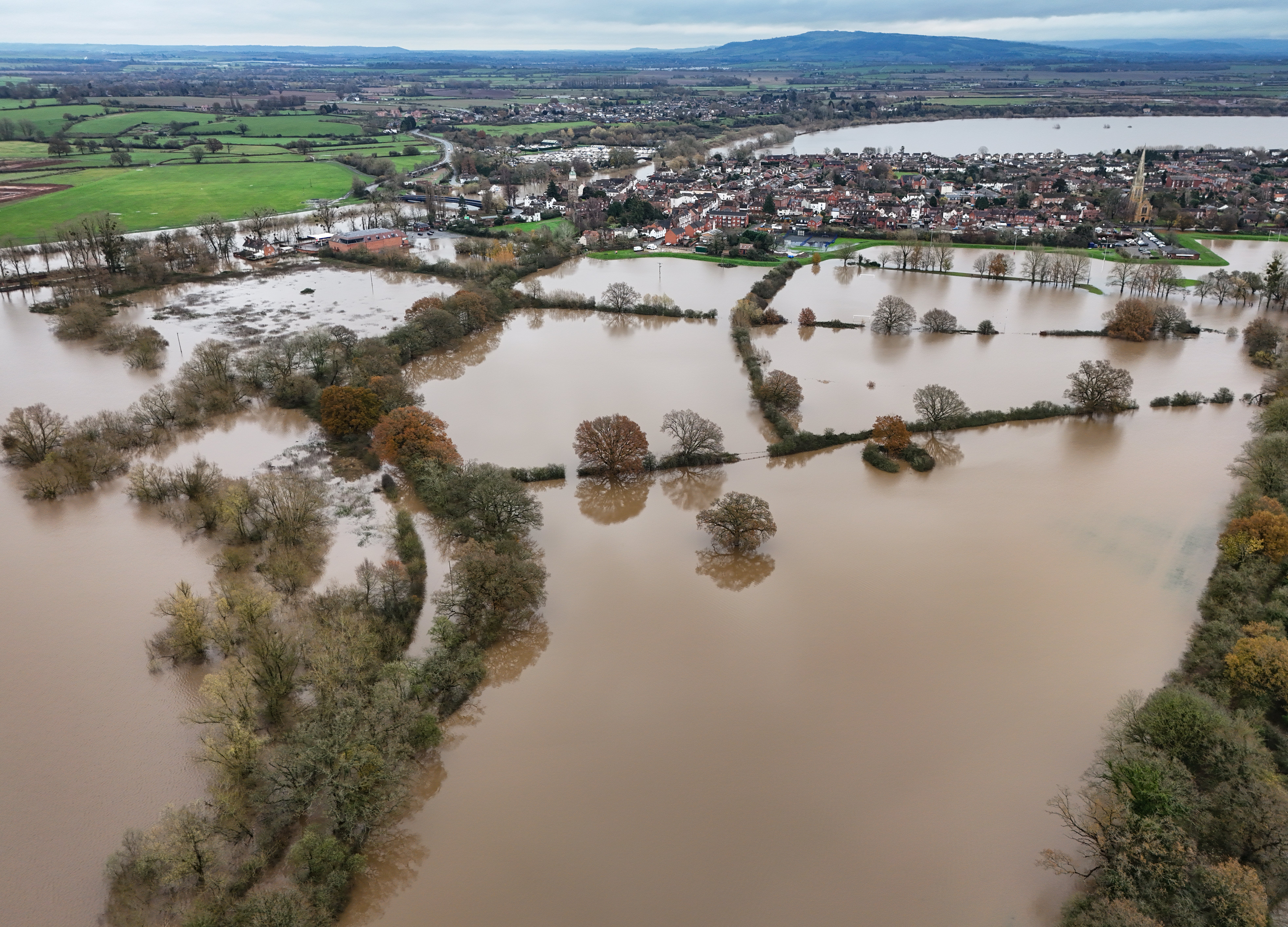
Katharine Smith, flood duty manager from the agency, said heavy rain was expected to move “rapidly” across the north and west of England on Thursday evening, adding minor surface-water flooding was “probable” across parts of northwest England, while minor river flooding was possible more widely across the country.
“Environment Agency teams are out on the ground and will support local authorities in responding to surface water flooding. We urge people not to drive through flood water – it is often deeper than it looks, and just 30cm of flowing water is enough to float your car,” Ms Smith said.
Storm Darragh is expected to bring gusts of up to 80mph late on Friday and into Saturday, with a danger to life warning in place for most of Saturday for the west coast of the UK from South Ayrshire in Scotland down to Cornwall, as well as in Northern Ireland.

A series of yellow weather warnings will remain in force until Sunday. On Saturday, an amber weather warning for wind is in place to cover the areas at risk of the greatest impacts.
Met Office chief forecaster Jason Kelly said Storm Darragh was an “evolving system” that will bring several hazards, including wind gusts of up to 80mph around western coasts, especially from Devon and Cornwall to southwest Scotland and Northern Ireland.
In a yellow warning issued for much of England, Wales and Northern Ireland on Thursday, the Met Office is warning up to 30mm of rain could fall in just a few hours, “bringing a risk of some surface water flooding and disruption to travel”, which is likely to be accompanied by squally winds.
“Today we will see bouts of heavy rain and squally winds moving eastwards across the UK with the bulk of the rain moving away from the UK by late evening. Tonight will remain largely dry with clear skies ahead of Storm Darragh, which will begin to impact Northern Ireland Friday evening,” Mr Kelly said.
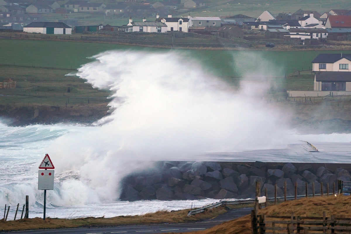
The weather bureau is warning residents across affected areas that Storm Darragh could cause power cuts and loss of mobile coverage, building damage, flying debris, travel delays, road closures and coastal danger from large waves.

“A period of very strong northerly or northwesterly winds is likely to develop during Saturday as Storm Darragh moves from west to east. Gusts of 70 to 80mph are likely around exposed coasts and headlands, where some very large waves are likely, whilst gusts of 60 to 70mph are likely inland,” the Met Office has warned, adding, “The strongest winds will ease from the west through the afternoon.”
Affected communities are being warned to stay indoors as much as possible, as driving conditions could be dangerous, and high winds can cause injury.
“In advance of high winds, check for loose items outside your home and secure them. Items include; bins, garden furniture, trampolines, tents, sheds, and fences,” the Met Office said.
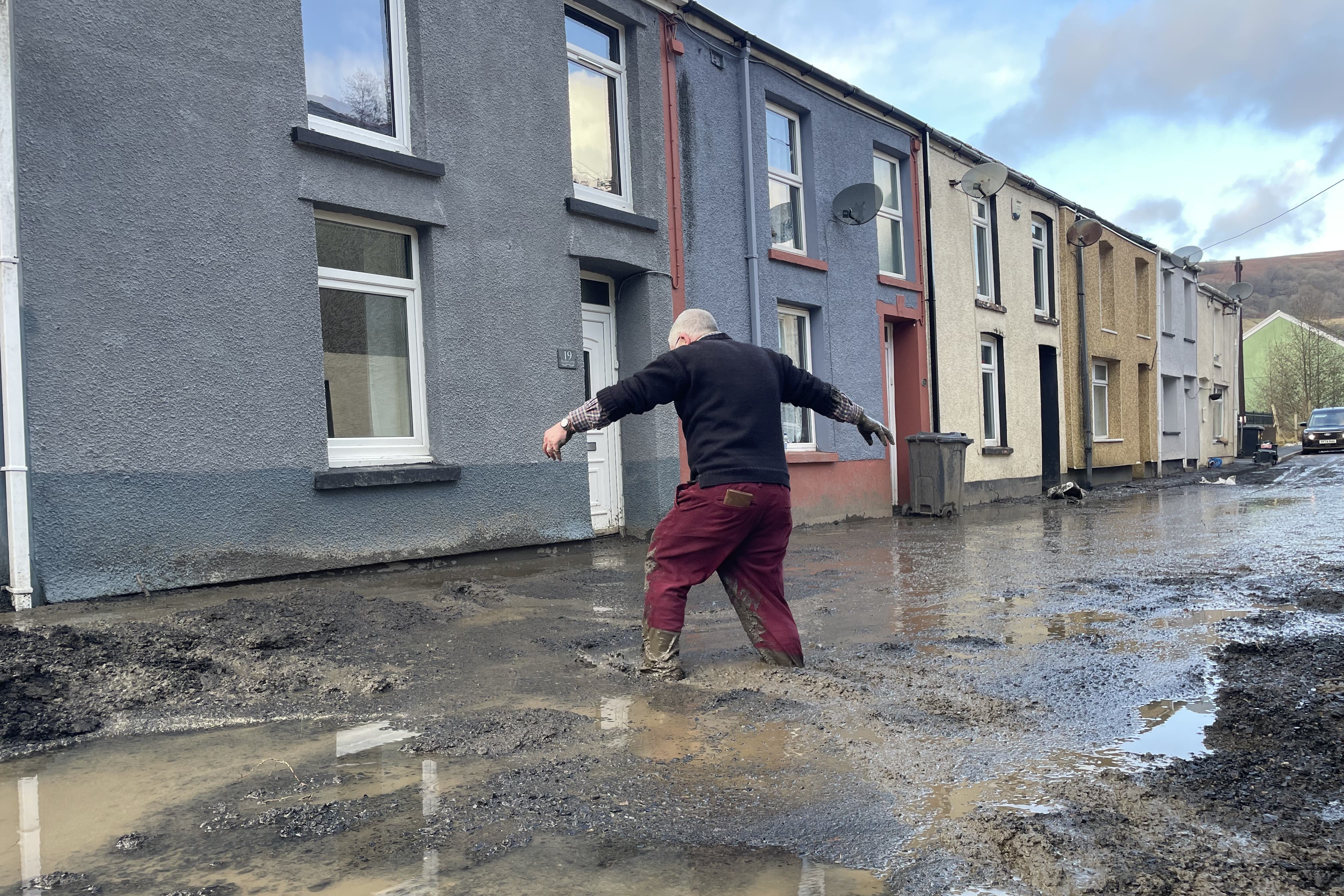
The warning follows deadly flooding across parts of England and Wales caused by Storm Bert late last month, with more than 500 homes damaged and communities in Wales among the hardest hit. That named storm was closely followed by Storm Conall, which brought further rain.


