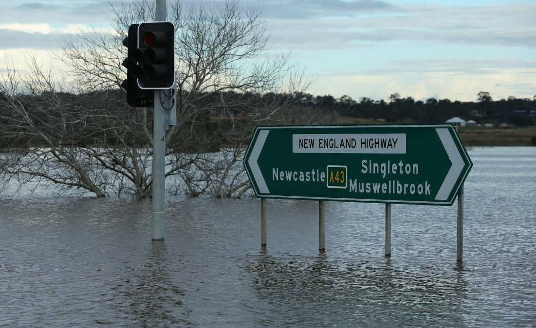
The State Emergency Service issued an alert Saturday afternoon for residents of Singleton, Maitland and Raymond Terrace to keep informed about possible flooding along the Hunter River at the weekend.
Forecasters for the Bureau of Meteorology have indicated that a low pressure system and trough moving over northwestern NSW is bringing significant rain and widespread thunderstorms during the weekend as it slowly moves east.
Another system is expected to move into western New South Wales later Sunday and then move east early next week, bringing further rain and thunderstorms over the state.
The rainfall could cause new and renewed flooding along rivers in parts of the Central West and South West Inland catchments from late Saturday, the SES said in a statement.
Residents have been advised to keep abreast of emergency updates via local news and SES social media channels as they develop and to be prepared to act as required.
Forecasters for the Bureau have advised that catchment areas were saturated from relentless rain over recent weeks and most dams were at or near capacity, threatening the possibility of flooding in low-lying areas, causeways and culverts.
The latest advice comes as other areas of the state, near the Victoria border and in the far northeast, brace for for flash flooding as thunderstorms descend.
Ninety-nine flood warnings are current, with the SES performing more than a dozen rescues and answering hundreds of calls for assistance overnight Friday into Saturday.
In the north, emergency warnings are in place for Moree, Narrabri and the hamlet of Terry Hie Hie, while in the southern borderlands an evacuation order is current for Moama.
The Bureau of Meteorology warns rainfall will likely continue, with widespread showers and thunderstorms forecast for eastern NSW, resulting in flash flooding for many regions.
This report is developing. It may be updated.


