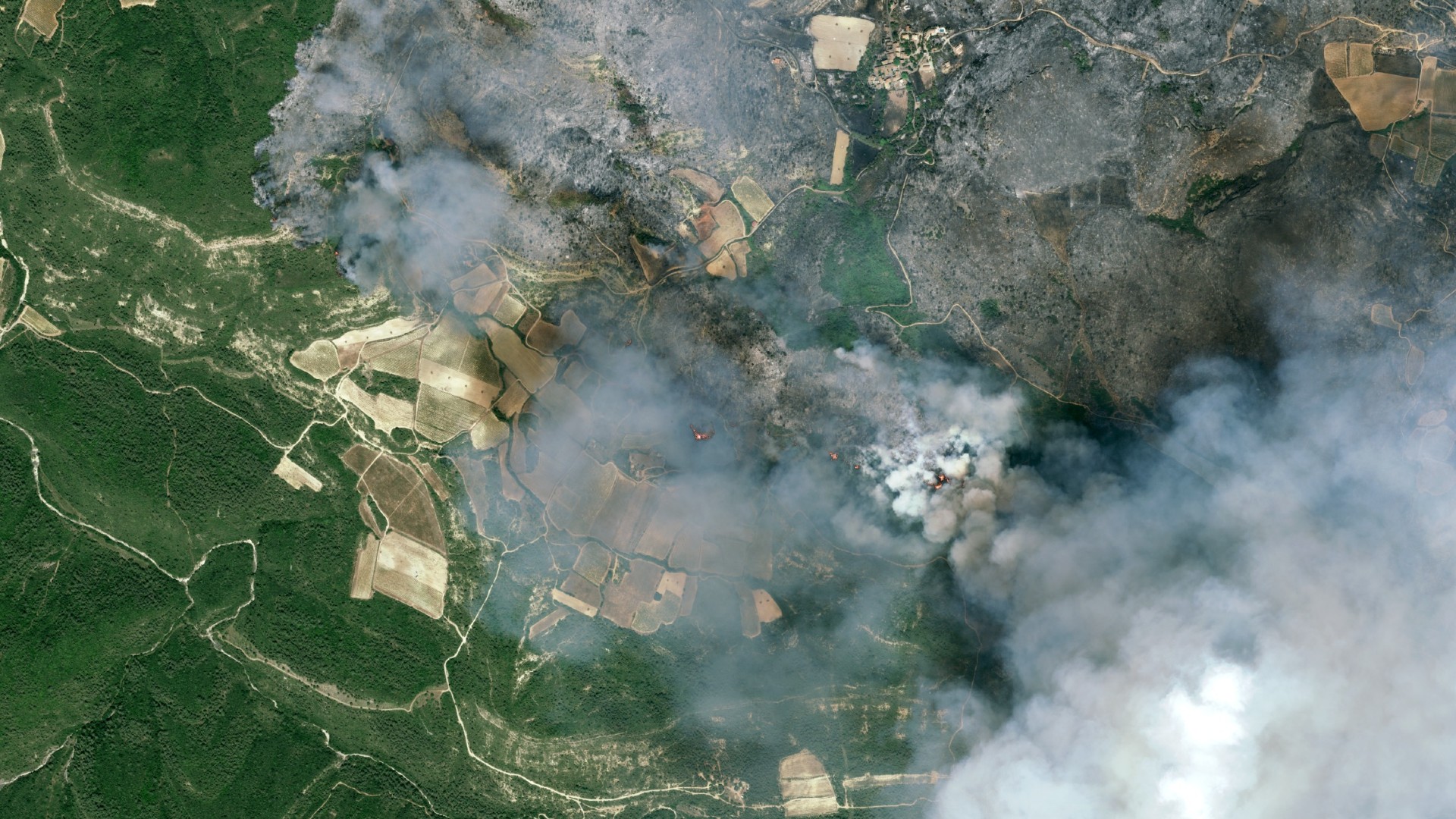
Satellite images reveal the scope of destruction in the south of France caused by the worst wildfire to hit the country in over seven decades.
The fire was first detected on Tuesday (Aug. 5), near the town of Ribaute in the Aude region in the southeast of France. Within less than four days, it turned some 42,000 acres (17,000 hectares) of forests and agricultural land into ashes — an area larger than France's capital Paris.