Get all your news in one place.
100's of premium titles.
One app.
Start reading
Space
Space
Science
Stefanie Waldek

Satellites imaged an underwater volcano erupting — but scientists have no idea what's actually happening on the seafloor

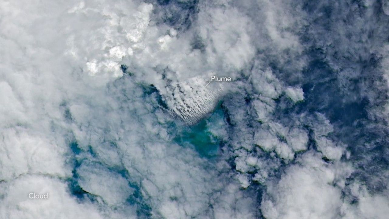
Closely spaced volcanic plumes, surrounded by clouds, stream from a growing underwater volcanic platform in this natural-color image captured by the OLI (Operational Land Imager) on Landsat 9 on May 11, 2026, three days after the eruption began.

In early May, NASA satellites imaged an underwater volcanic eruption in the Bismarck Sea off the coast of Papua New Guinea. But when volcanologists looked to study the event, they reached a frustrating wall. There are no high-resolution maps of the seafloor here.

That lack of baseline data made it more difficult for scientists to determine exactly how the eruption reshaped the seafloor or how large the volcanic structure may be. In fact, they aren't even sure which geological feature even erupted. Current theories suggest the eruption likely occurred along the Titan Ridge, about 10 miles (16 kilometers) southeast of a 1972 submarine eruption site.

Sign up to read this article
Read news from 100's of titles, curated specifically for you.
Already a member? Sign in here
Related Stories
Top stories on inkl right now
One subscription that gives you access to news from hundreds of sites
Already a member? Sign in here
Our Picks
Fourteen days free
Download the app
One app. One membership.
100+ trusted global sources.