Get all your news in one place.
100's of premium titles.
One app.
Start reading
The Conversation
The Conversation
Anna Marie Brennan, Senior Lecturer in Law, University of Waikato

Satellite imaging is now vital for disaster management. But there are dangerous gaps in our systems

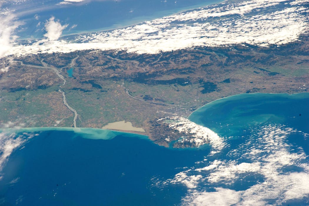
NASA via Getty Images

The extreme weather events and resulting destruction that have hit New Zealand this summer are not only signs of a changing climate. They also highlight the now indispensable role of remote sensing satellite technology.

Broadly, remote sensing involves gathering information about Earth from a distance – most often from satellites equipped with sensors that measure different forms of electromagnetic energy.

Sign up to read this article
Read news from 100's of titles, curated specifically for you.
Already a member? Sign in here
Related Stories
Top stories on inkl right now
One subscription that gives you access to news from hundreds of sites
Already a member? Sign in here
Our Picks
Fourteen days free
Download the app
One app. One membership.
100+ trusted global sources.