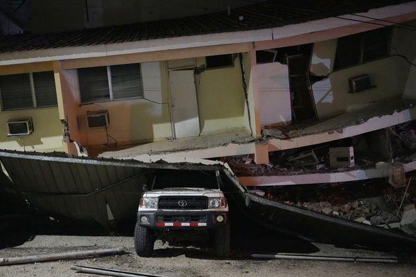
Cities reduced to rubble, mangled messes of concrete and metal, and makeshift hospitals in tents illustrate a devastated Türkiye from newly released satellite images.
As the death toll from the earthquake disaster approaches 10,000, the images released on Wednesday by US company Maxar Technologies show how widespread the devastation and destruction is after the earthquakes struck the country on Monday, compared to 2019.
Turkish President Recep Tayyip Erdoğan has declared a three-month state of emergency for 10 provinces in his country, with 15 per cent of the country's 85 million people affected, while in Syria — which is in the midst of a civil war — the situation is much less uncertain.