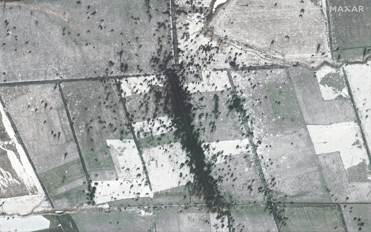
As the war in Ukraine approaches the one-year mark, new satellite images show intense fighting along the country’s frontline.
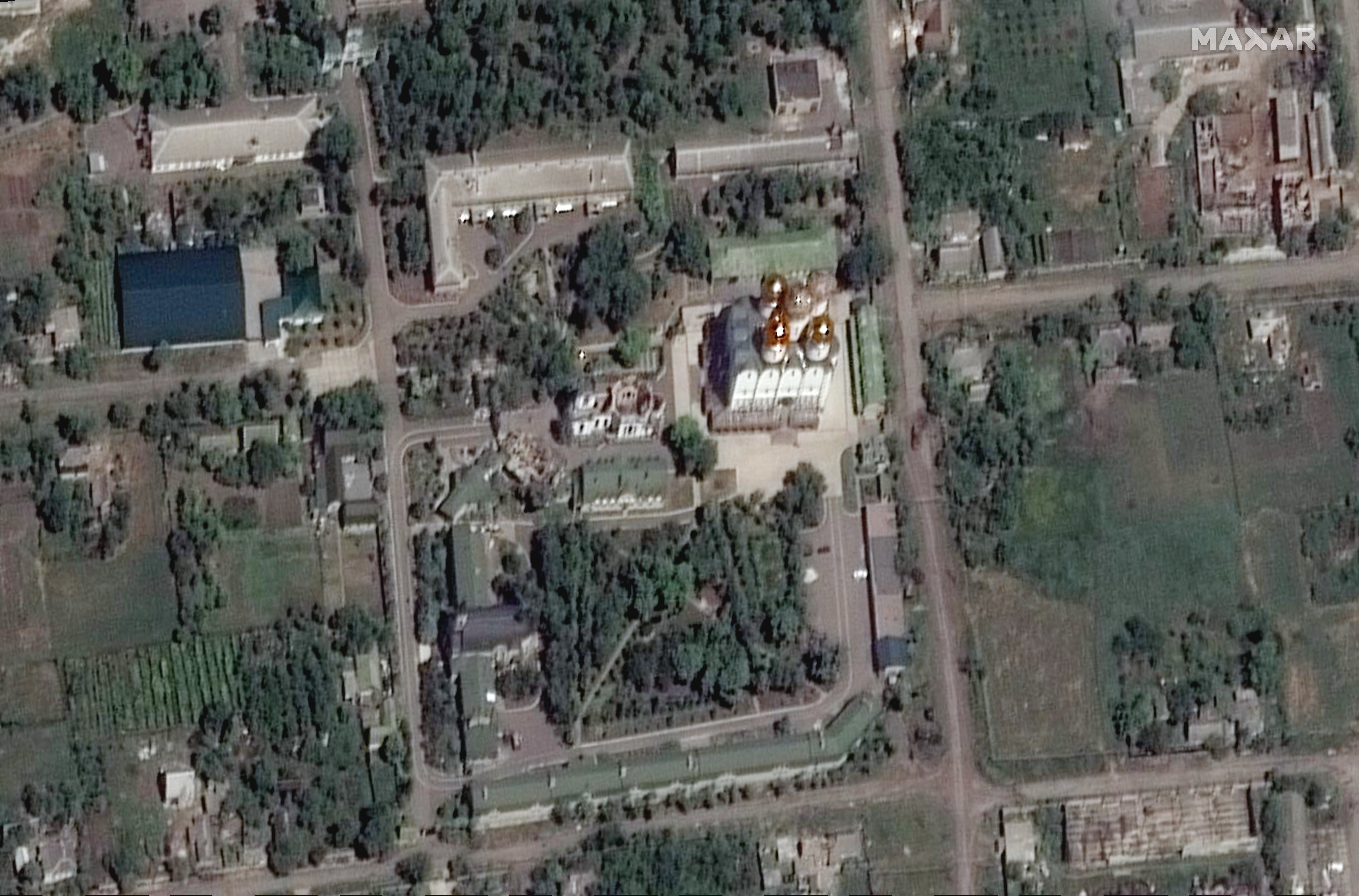
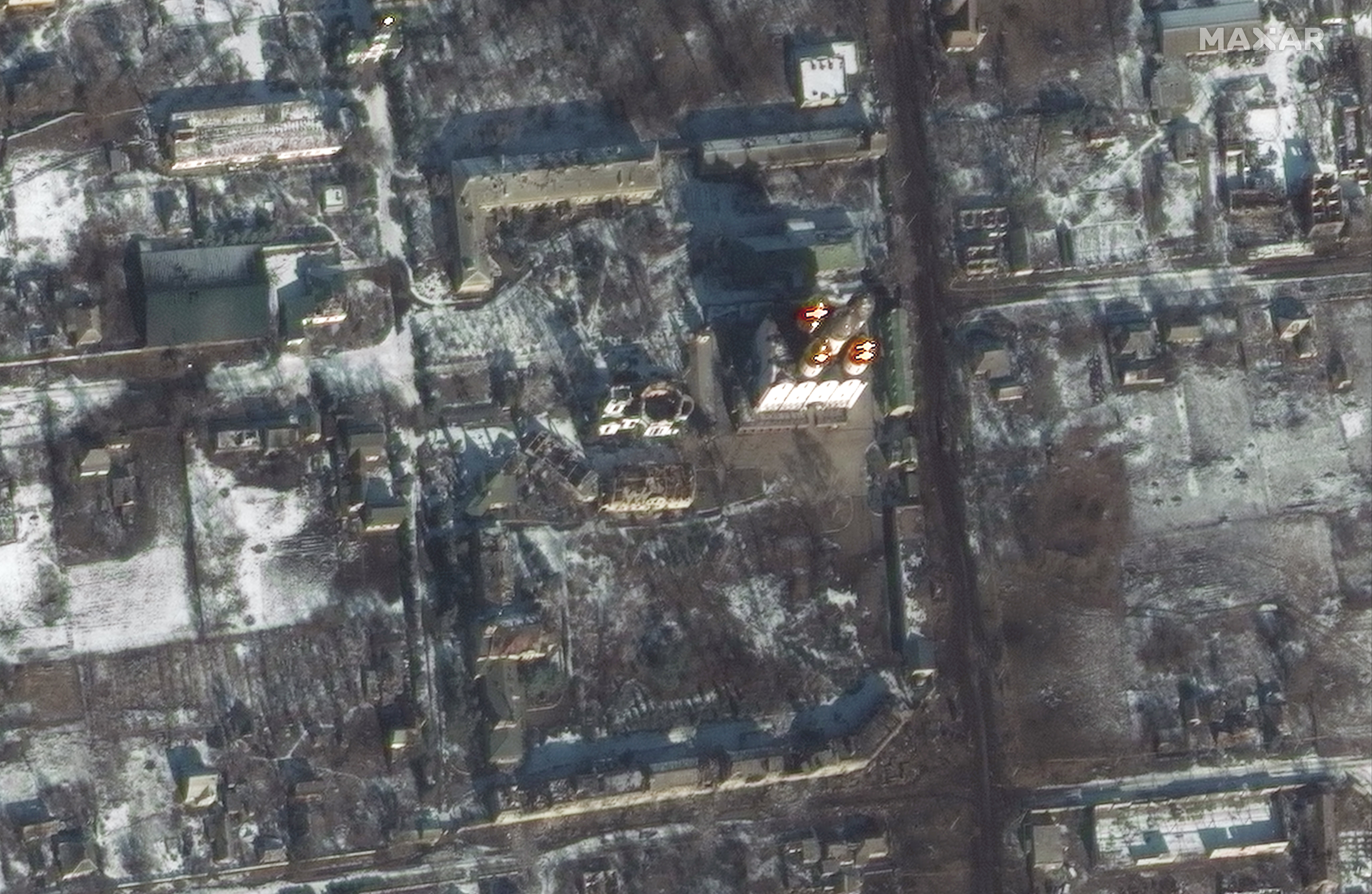
Satellite images released by private space technology company Maxar show the Vuhledar area in the Donetsk region of eastern Ukraine.
The area is the site of concentrated fighting between Ukrainian and Russian forces.
Images from 8 to 10 February reveal areas of intense artillery shelling in the farms and fields south of Vuhledar as Ukrainian forces reportedly pushed back Russian troops that have been attempting to capture territory in the area.
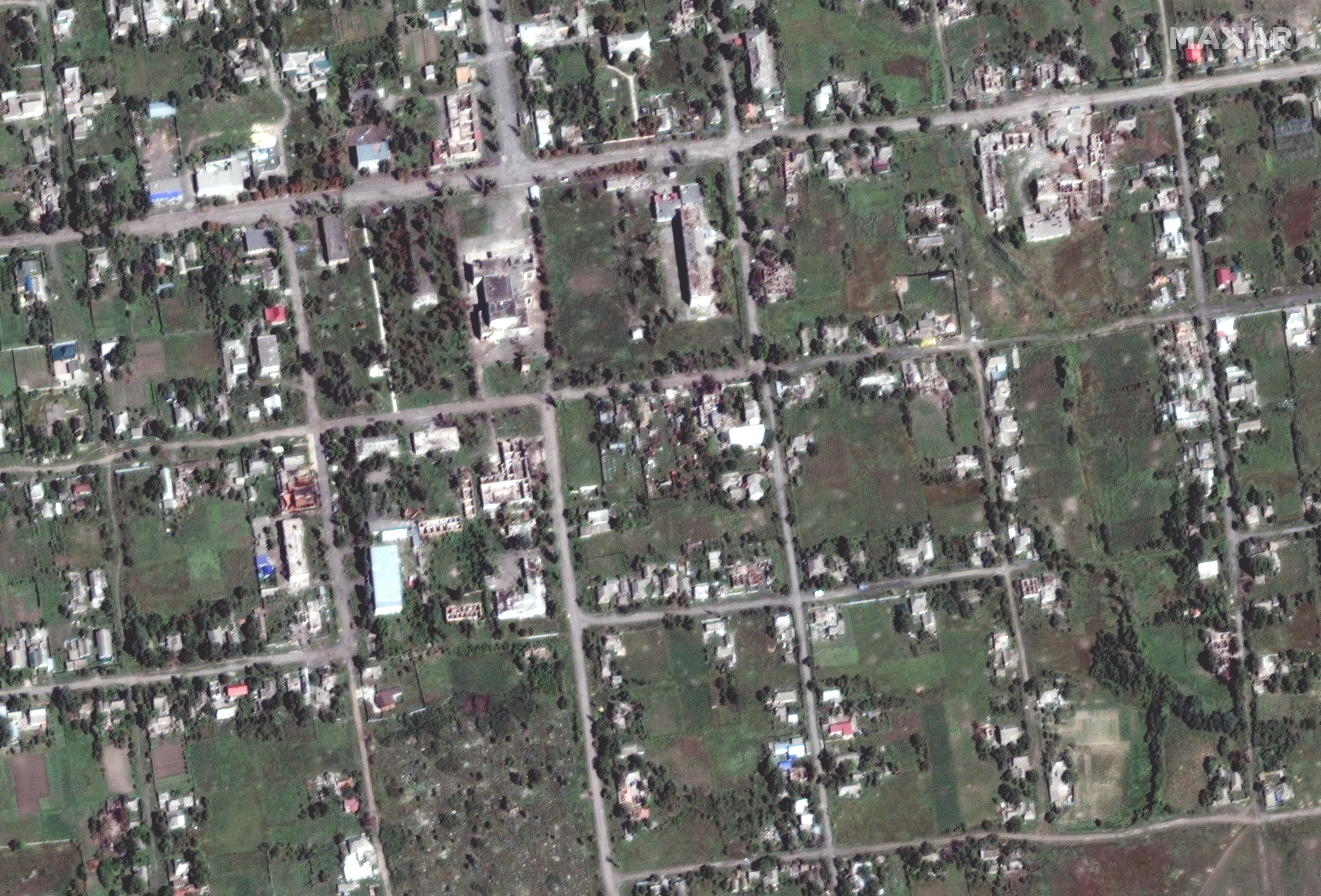
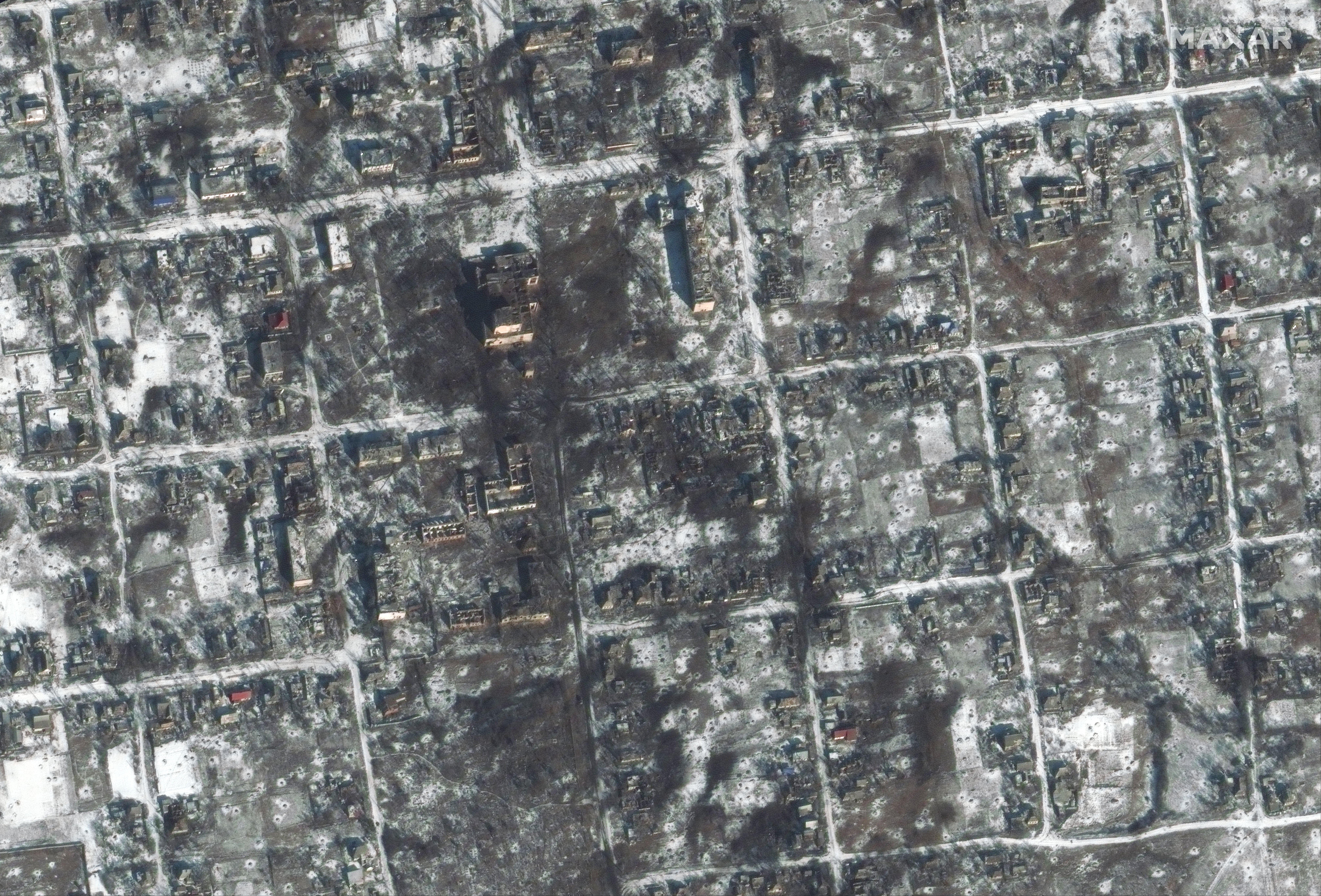
The images also show probable Russian military units, including tanks and armored personnel vehicles, deployed along tree lines in the fields as well as in residential areas in Krylivka and Petrivka.
The new images come as Russian forces have unleashed fatal missile attacks on Kherson, causing damage to the railway and preventing trains from Kyiv and Lviv reaching the city, according to reports.
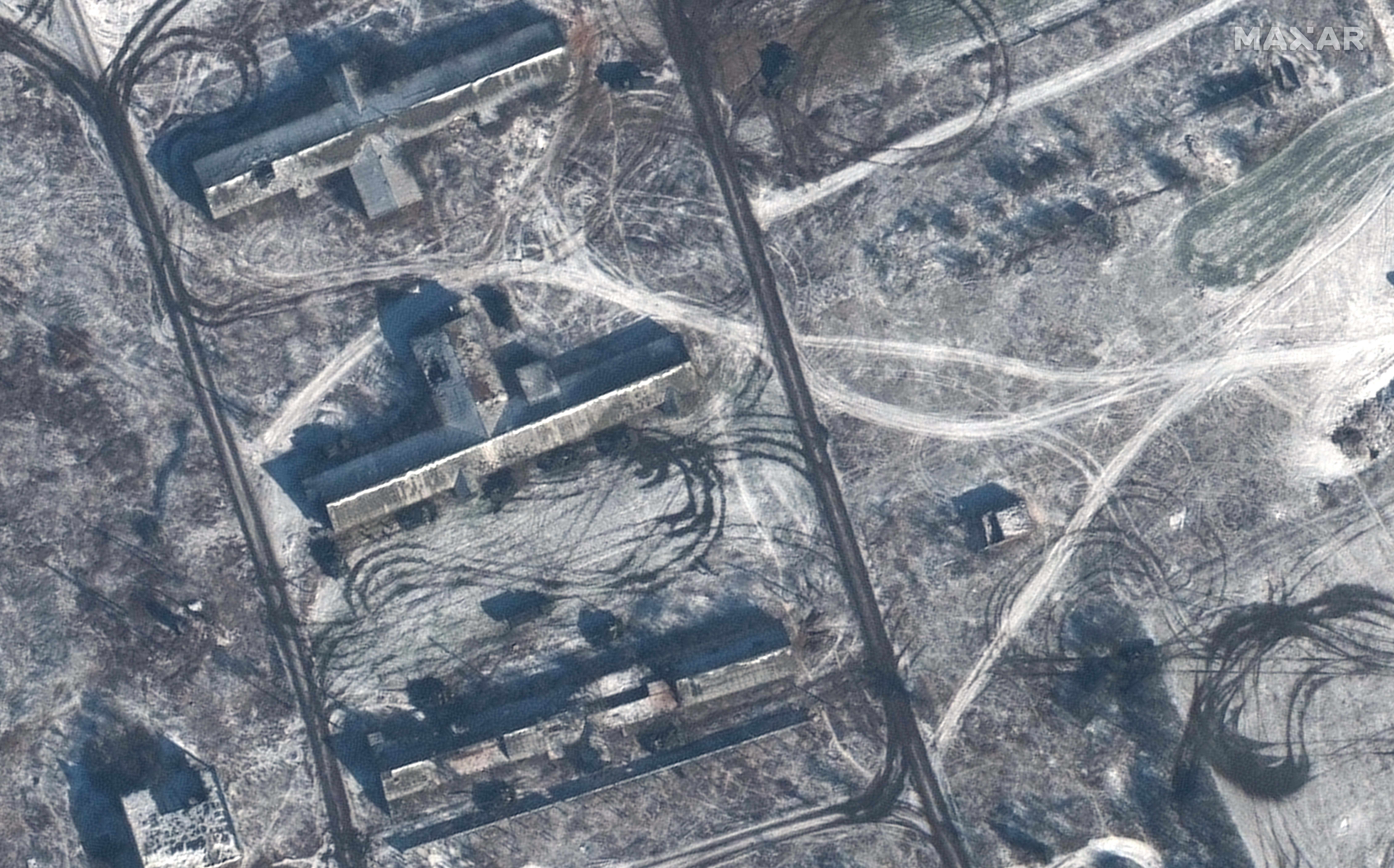
On Saturday, General Valerii Zaluzhnyi, the commander-in-chief of the Armed Forces of Ukraine, said that Kyiv’s forces are holding the frontline in Donetsk, with fierce battles raging in Vuhledar and Maryinka.
Mr Zaluzhnyi added that Russia was carrying out approximately 50 attacks per day in the Donetsk region.
Russia launched its war in Ukraine on 24 February last year as president Vladimir Putin declared the start of what Russia officially calls a “special military operation”.
In a statement on Monday, Russia’s defence ministry said that Moscow’s soldiers have managed to advance 2km (1.24 miles) west into Ukraine.
“In four days the front moved 2 kilometres to the west,” the ministry said, reported Interfax news agency.
In a statement Natalia Humeniuk, a spokesperson for Ukraine’s southern military forces, said the country should prepare for further air attacks, possibly on the first anniversary of Russia’s invasion.
“Considering the enemy’s commitment to sacred dates, it’s necessary to be ready,” she was quoted as saying.
Additional reporting by agencies


