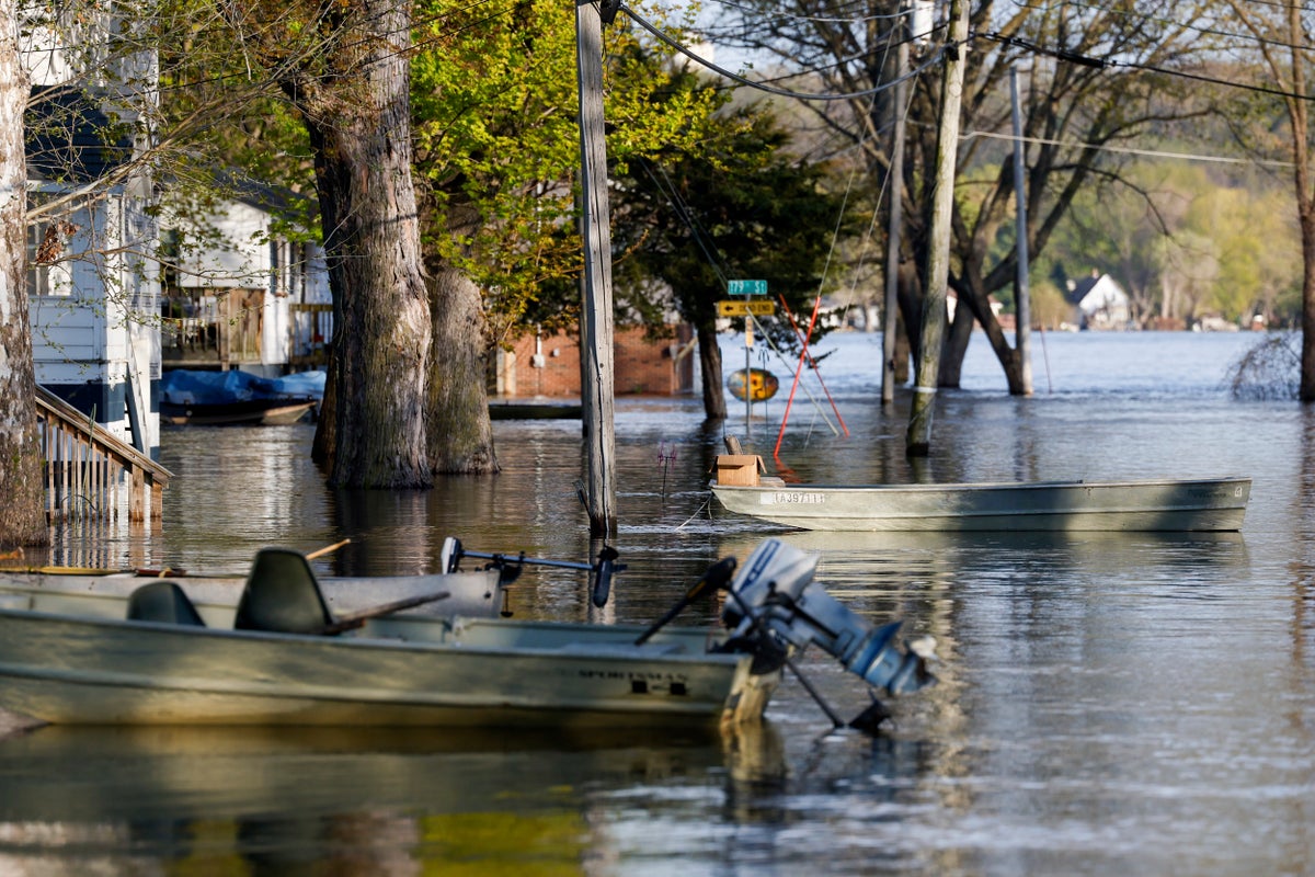
The rising Mississippi River will continue to test flood defenses in southeast Iowa and northwest Illinois on Monday as it crests in the area.
The peak water levels this spring will likely rank in the top 10 of all time in many places, but the National Weather Service said river levels will generally remain well below past records. That should help most towns along the river withstand the floodwaters though officials will be checking their floodwalls and sandbag barriers closely in the next few days.
“Luckily we’ve had relatively dry weather over the last week or so and not expecting much in the way of rainfall as well,” National Weather Service meteorologist Tom Philip said. “So it’s coming through as forecast for the most part.”
The river peaked in the Dubuque area Saturday at 23.03 feet (7 meters)— well below the 25.7 feet (7.8 meters) record — but officials there were grateful to have the floodwall the city built 50 years ago in place.
Without that floodwall, the city would be facing significant problems, said Deron Muehring, a civil engineer for the city of Dubuque.
“The floodwaters would be up to 6 feet deep in the Port of Dubuque and more than 7 feet deep in the south port,” Muehring told the Dubuque Telegraph-Herald.
The river is expected to crest at around 21.6 feet (6.6 meters) on Monday in the Quad-Cities area, where several neighboring cities sit along the Iowa-Illinois line. Some roads and parks near the river are closed. The record at that spot is 22.7 feet (6.9 meters).
Once the river crests in an area, it may take up to two weeks for the floodwaters to fully recede.
The flooding is expected to ease as the spring surge of water from melting snow works its way further down the 2,300-mile (3,700-kilometer) length of the river on its way to the Gulf of Mexico. Most of the tributaries in Iowa, Illinois and other Midwest states are running lower than usual, so they won't exacerbate the flooding by dumping large amounts of water into the river.


