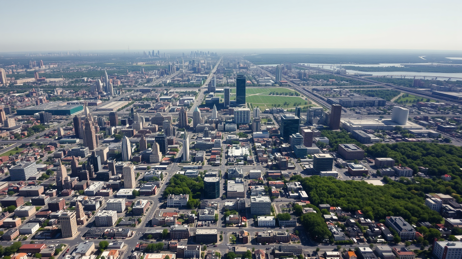
Philadelphia has spent decades trying to become a greener, cooler city, planting trees and expanding parks in neighbourhoods that have historically had the least shade and the highest summer temperatures. Yet when researchers turned to four decades of satellite imagery to actually measure how the city's land cover has changed, the results told a more complicated story than simple, steady greening. Using land cover data stretching from 1970 to 2010, scientists have traced exactly how Philadelphia's tree canopy, buildings and vegetation have shifted over time, and a separate, more recent nationwide analysis has found that the very neighbourhoods running hottest today are often the ones losing greenery fastest, a pattern that carries real consequences for a city already grappling with entrenched heat and environmental inequality. What this decades-long record ultimately confirms is that shade, like so much else in a city, has never been distributed by chance but by choices made long before anyone thought to measure them.
Get breaking news anytime, anywhere. Download the TOI app now!