Get all your news in one place.
100's of premium titles.
One app.
Start reading
The Conversation
The Conversation
Environment
Andrew Suggitt, Assistant Professor, Northumbria University, Newcastle

Our new map reveals the effects of 20th century land-use and climate change on Britain's wild species

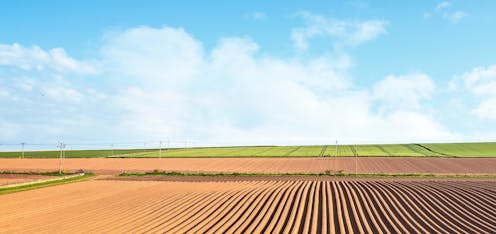
Brian A Jackson/Shutterstock

Under the stewardship of geographer Sir Dudley Stamp, thousands of volunteers (including many schoolchildren) came together in the 1930s on a mission that sounds relatively simple on paper: to record how British land was being used.

Equipped with an Ordnance Survey map, a clipboard and a pencil, these volunteers recorded information that collectively formed the earliest spatial record of where and how the British people were using their environment at the beginning of the third agricultural revolution. Spanning the mid-20th century, that revolution changed the British landscape almost beyond recognition.

Sign up to read this article
Read news from 100's of titles, curated specifically for you.
Already a member? Sign in here
Related Stories
Top stories on inkl right now
One subscription that gives you access to news from hundreds of sites
Already a member? Sign in here
Our Picks
Fourteen days free
Download the app
One app. One membership.
100+ trusted global sources.