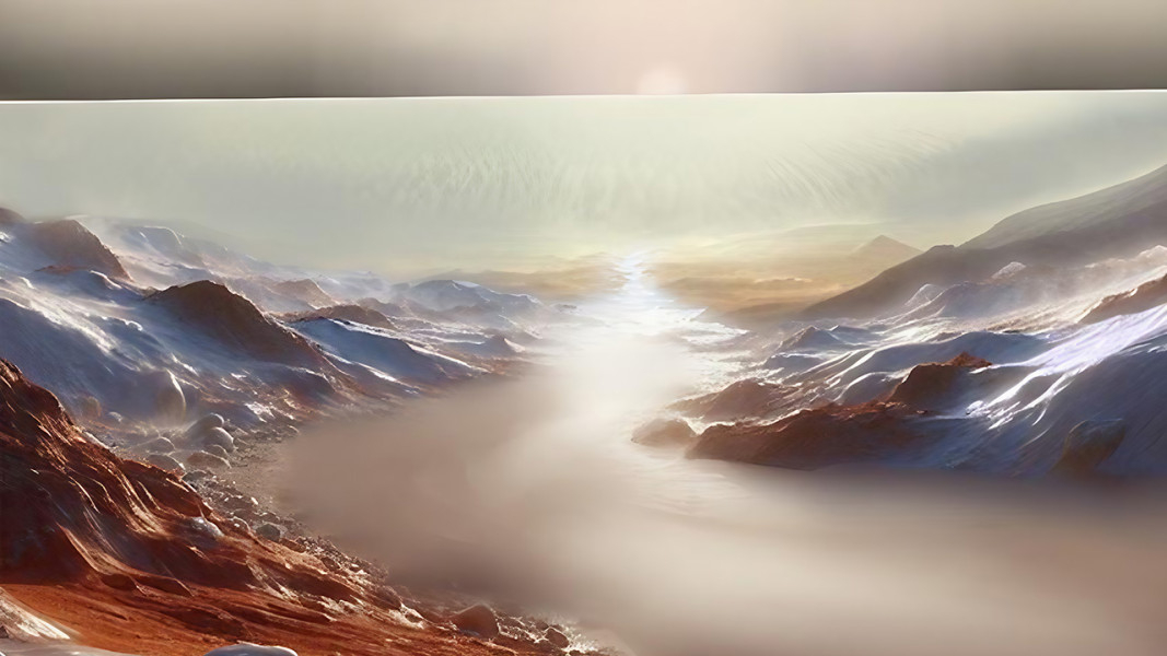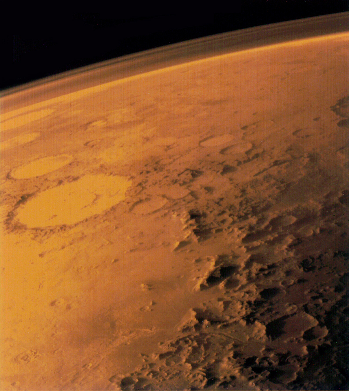
A lone researcher may have figured out how Mars was able to support rivers and seas even after the planet had begun to grow cold and its atmosphere thin, and it's all thanks to a cycle of water and carbon dioxide.
We know from geological and mineralogical evidence that, around four billion years ago, Mars was warm and wet enough to have extensive liquid water on its surface, from rivers and lakes to a vast northern sea. This period covers two geological eras: the Noachian, which ran from 4.1 to 3.7 billion years ago, and the Hesperian, which endured from 3.7 to about 3 billion years ago. The Noachian is characterized by warmer conditions, but by its latter stages Mars should have been starting to grow cold as it steadily lost its atmosphere to space. Yet there is still evidence of river channels and seas dating back to the late Noachian and into the Hesperian era. Planetary scientists have been mystified as to how Mars could still be wet at this time, and one theory is that the Red Planet experienced an unexplained period of global warming.
Now, though, researcher Peter Buhler of the Planetary Science Institute in Arizona may have solved the problem, thanks to his modeling of the role of carbon dioxide ice settling onto the south polar cap.
The model "describes the origins of major landscape features on Mars — like the biggest lake, the biggest valleys and the biggest esker system — in a self-consistent way," Buhler said in a statement. "And it's only relying on a process that we see today, which is just carbon dioxide collapsing from the atmosphere."
Related: Water on Mars: Exploration & evidence
Eskers are long, gravelly ridges left by running water, and their presence near Mars' south pole is a big clue about how events played out on the Red Planet.
Usually, Buhler spends his time modeling the carbon-dioxide cycle on Mars today. During Martian winter, a layer of carbon-dioxide ice settles out on top of the polar caps of water ice. While it is just a thin layer on the north polar cap, the south polar cap has much more, with a permanent layer of carbon dioxide ice 26 feet (8 meters) thick, with more added in winter. This additional carbon dioxide is normally locked away in the Martian dirt, but during what passes as Martian summer it can sublimate into the atmosphere and be transported to the winter pole.
Buhler wanted to see what effect this process had 3.6 billion years ago, during the early Hesperian when the atmosphere — despite beginning to leak out into space after Mars' magnetic field that had warded off the solar wind shut down — was still much thicker than it is today. He found that a layer of carbon dioxide ice 650 meters (0.4 miles) thick would settle onto Mars' south polar cap each winter.

The carbon dioxide did two things. It first acted as an insulator, preventing heat leaking out of the planet's interior from escaping at the south pole. It also added weight and pressure onto the ice cap. Combined, these effects led to temperatures and pressures at the base of the ice cap that allowed the ice there to melt and form a pool of water. Eventually, over many winters, water ice and carbon dioxide ice continued freezing out onto the ice cap while, below, the liquid water built up to such an amount that it began seeping out at the sides of the ice cap.
Once exposed to the cold air, according to the new modeling work, the liquid water would freeze as permafrost. This isn't the end of the story, though. Liquid water would keep on forming behind the ice, looking for ways to escape.
"The only way left for the water to go is through the interface between the ice sheet and the rock underneath it," said Buhler. "That's why on Earth you see rivers come out from underneath glaciers instead of just draining into the ground."
The rivers would still freeze as they popped up above ground, but the volume of water was such that it would keep burrowing under this ice, which eventually formed a frozen ceiling over the rivers many dozens of meters (hundreds of feet) thick. The rivers themselves were only a meter or so deep, but they were long, running for thousands of kilometers away from the south pole.
This is where the eskers come in. They are the remains of these long subglacial rivers, and many have been found extending radially away from the southern polar region.
Even today, we can see the remains of four large river channels flowing into Argyre Planitia, which is a huge impact basin 1,700 kilometers (1,100 miles) wide and 5.2 kilometers (3.2 miles) deep. Over millions of years, the sub-glacial rivers filled Argyre with water to form an ocean as large as the Mediterranean. And, over those millions of years, the meltwater kept on coming, causing Argyre to episodically overflow and flood Mars' northern plains.
Related: Ocean's worth of water may be buried within Mars — but can we get to it?
"This is the first model that produces enough water to overtop Argyre," said Buhler. "It's also likely that the meltwater, once downstream, sublimated back into the atmosphere before being returned to the south polar cap, perpetuating a pole-to-equator hydrologic cycle that may have played an important role in Mars' enigmatic pulse of late-stage hydrologic activity."
Eventually, Mars grew too cold for even this meltwater process to take place. There was recently a claim of a subsurface lake still existing beneath the south polar ice cap on Mars today, but significant doubt has been cast on this idea.
What's neat about Buhler's model is that it doesn't need to enact any unexplained warming to account for the evidence for water that we see — it's literally the same carbon dioxide cycle that we see on Mars today. Unfortunately, Mars has grown so cold, with so little carbon dioxide available, that the days of widespread liquid water on the Red Planet have been over for billions of years.
Buhler's research was published on Nov. 1 in the Journal of Geophysical Research: Planets.


