Get all your news in one place.
100's of premium titles.
One app.
Start reading
The Conversation
The Conversation
Amandine Bosserelle, Lecturer in Hydrogeology, The University of Western Australia

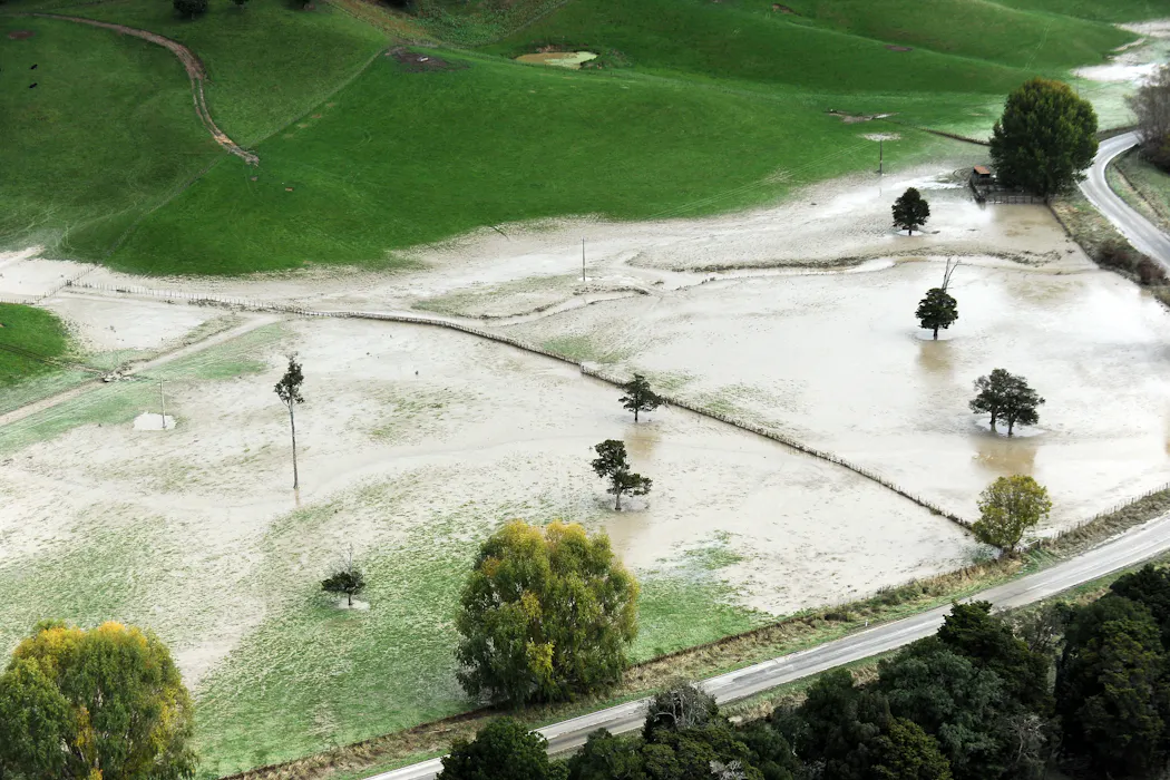
NZ’s new flood maps are missing a hidden threat – the water quietly rising from below

Kerry Marshall/Getty Images

The latest update of nationwide flood maps, to be released next year, will give communities across New Zealand the clearest picture yet of the regional risk of flooding.

But as it stands, this state-of-the-art tool leaves out a critical piece of the puzzle: the water table in shallow coastal aquifers, which fluctuates with the seasons and, over the long term, rises with sea levels.

Sign up to read this article
Read news from 100's of titles, curated specifically for you.
Already a member? Sign in here
Related Stories
Top stories on inkl right now
One subscription that gives you access to news from hundreds of sites
Already a member? Sign in here
Our Picks
Fourteen days free
Download the app
One app. One membership.
100+ trusted global sources.