Forecasters are warning that more snow is on the way for northern California mountains after a powerful blizzard that closed highways and ski resorts over the weekend had mostly moved through the Sierra Nevada by early Monday.
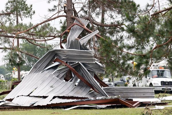
The storm began barreling into the region on Thursday. A widespread blizzard warning through Sunday morning covered a 300-mile stretch of the mountains. Fierce winds – with gusts that reached up to 145mph in some areas – ripped down trees and power lines leaving residents in the dark.
A winter storm warning remains in effect through Wednesday morning with up to 12in more snow expected in the region, the National Weather Service said, urging caution for drivers tempting to navigate the snowy mountain roads. “Travel is highly discouraged with travel delays, chain controls, and reduced visibilities expected,” the NWS office in Sacramento tweeted Monday morning.
The strong storm also brought howling winds and gusts above 100mph through the Sierra mountain ridges and the severe conditions complicated efforts to open roads. The multi-day storm caused traffic backups and closures on I-80 and many other roadways through the weekend, shut down ski resorts for two days, and left thousands of homes and businesses without power.
But by Monday morning closed sections of Interstate 80 to the west and north of Lake Tahoe had reopened to passenger vehicles and semi trucks were expected to be allowed through by midday Monday, according to the California department of transportation. More than 8,000 homes and businesses were still without power across the state on Monday, according to poweroutage.com.
The CHP office in South Lake Tahoe warned motorists that tire chains for improved traction are required on routes through the mountains, where more than 7ft (2.1 meters) of snow fell over the weekend.
In the eastern Sierra, the Mammoth Mountain Ski Area was closed on Sunday as winds of up to 70mph made it too difficult for ski patrol to complete avalanche mitigation, the resort said. More than 3ft of snow fell over three days, and more was on the way.
But in a state where hot, dry weather lurks mere months away, the extra powder is a welcome sight. “The storm helped out the whole state A LOT! [sic],” the UC Berkeley Central Sierra Snow Lab said in a post Monday morning.
After a slow start to the wet season that left snow levels direly low, water managers reported California was now on track to reach 100% of snow averages by the start of April. Snow plays an essential role in the state’s water supply and the water equivalent statewide is now at 104% of normal for this time of year – up from 81% last week.


