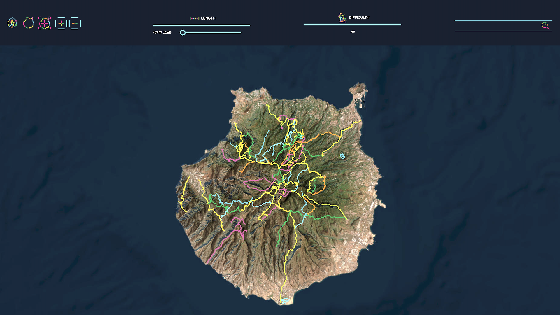
If you’ve ever wondered what hiking on the third largest island in Canary Island is like, wonder no longer. Because Gran Canaria has just launched a new interactive online map to the island’s 800km of trails, and it’s so detailed (and addictive) it’s like a bespoke, tourist-friendly version Komoot with extra idiosyncratic local detail.
You don’t even need to be planning a trip to the idyllic Spanish holiday island to have fun browsing it.
The site boasts an extensive amount of information on over 100 trails. The centerpiece of the site is an interactive map showcasing linear, circular, and long-distance trails, providing a comprehensive overview of the diverse options available.
The trails are meticulously classified based on their length and difficulty, catering to a variety of walkers preferences and users can easily filter their search to find a route that serves their hiking requirements.

Each trail is accompanied by a downloadable information sheet available as a pdf, as well as in kml and gpx formats that integrate with hiking mobile apps. This multi-format accessibility ensures hikers have the necessary information for their journey, enhancing the overall experience and ensuring proper orientation and safety on the trails.
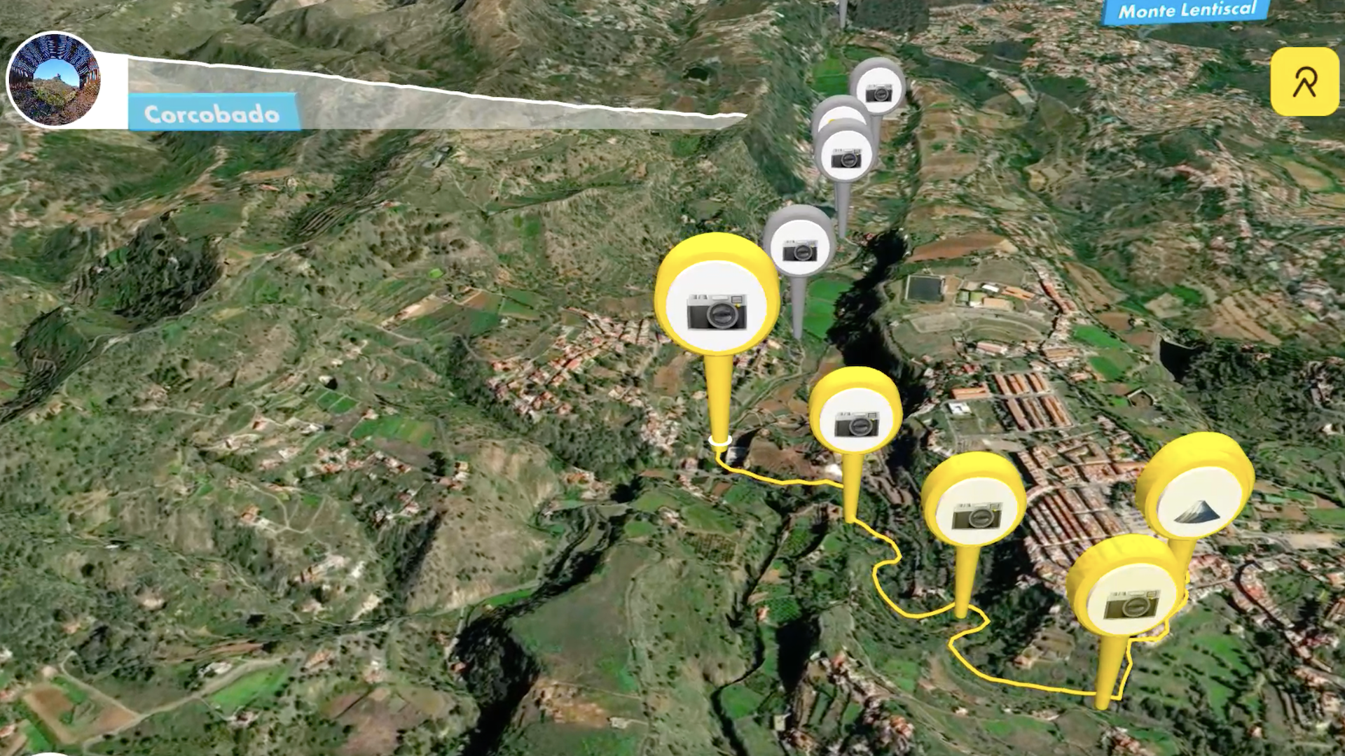
There are also plenty of photos of each route and even video guides so you can see exactly what you’d be letting yourself in for on any given routes (though you might spoil some of the surprises, like unexpected views).
Admittedly, we’ve found a few teething problems (images not displaying, links not working, the fact that you keep on re-signing in), but it was only launched this week, so we expect they’ll be sorted soon. Also, there don’t seem to be language options at the moment but Google Translate is your friend if you no hablas español.
And none of these issue spoil the overall user experience. So have a browse, and dream about your next holiday.
Visit: grancanariasenderos.com
- The best hiking shoes 2024: trail-friendly shoes for all seasons


