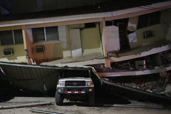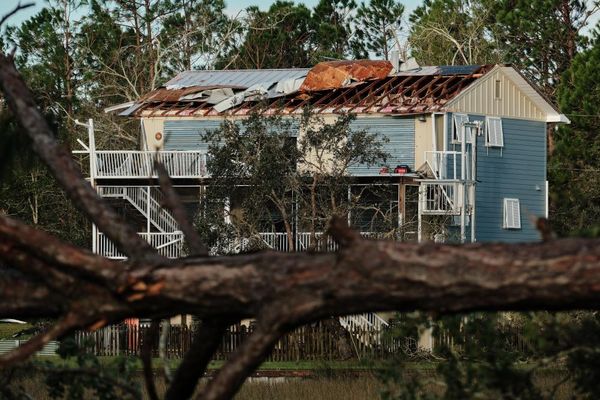
In the aftermath of the earthquake that has devastated swathes of Türkiye and Syria, emergency responders and scientists are turning to data captured by satellites to help understand the vast scale of the disaster.
The information has become an invaluable tool to help not only assess damage but also to provide important information about the potential for landslides, changing weather conditions and monitoring power outages.
In Kahramanmaraş, close to the epicentre of the earthquake in southern Türkiye, satellites have captured a birds-eye view of the impact.