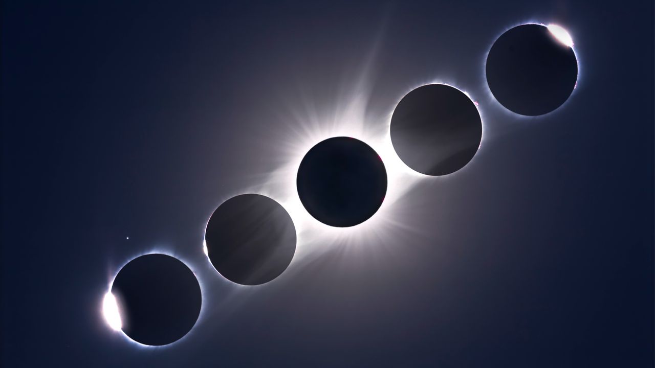
Solar eclipse maps show crisp lines for the path of totality, the narrow strip where a total solar eclipse will be visible. But in reality, the edges of the path are fuzzy, jagged and sometimes wrong by hundreds of meters or more. That might not matter if you're standing on the path's centerline, where many eclipse chasers head to experience the longest duration of totality. However, for those at the edge of the path, discrepancies could be the difference between seeing the sun's corona with the naked eye — one of nature's most incredible sights — and merely witnessing a crescent sun through solar eclipse glasses.
It's potentially a big issue for cities whose suburbs will be within the northern or southern limit of the path of totality for the Aug. 12, 2026 total solar eclipse, such as Madrid, Bilbao, and countless small towns and villages in Spain and Iceland.