
QUICK FACTS
Where is it? Barnes Ice Cap, Baffin Island, Canada [69.8543969, -72.30088281]
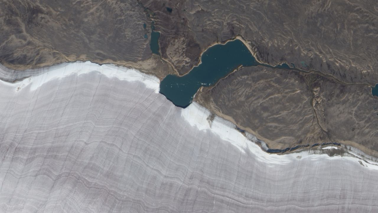
What's in the photo? A lake bisecting the snowy rim of an ancient glacier
Which satellite took the photo? NASA's Earth Observing-1 (EO-1) satellite
When was it taken? Sept. 4, 2010
This striking satellite photo shows the point where a tiny lake bisects the snowy rim of a massive ancient glacier on a Canadian island in the Arctic Circle.