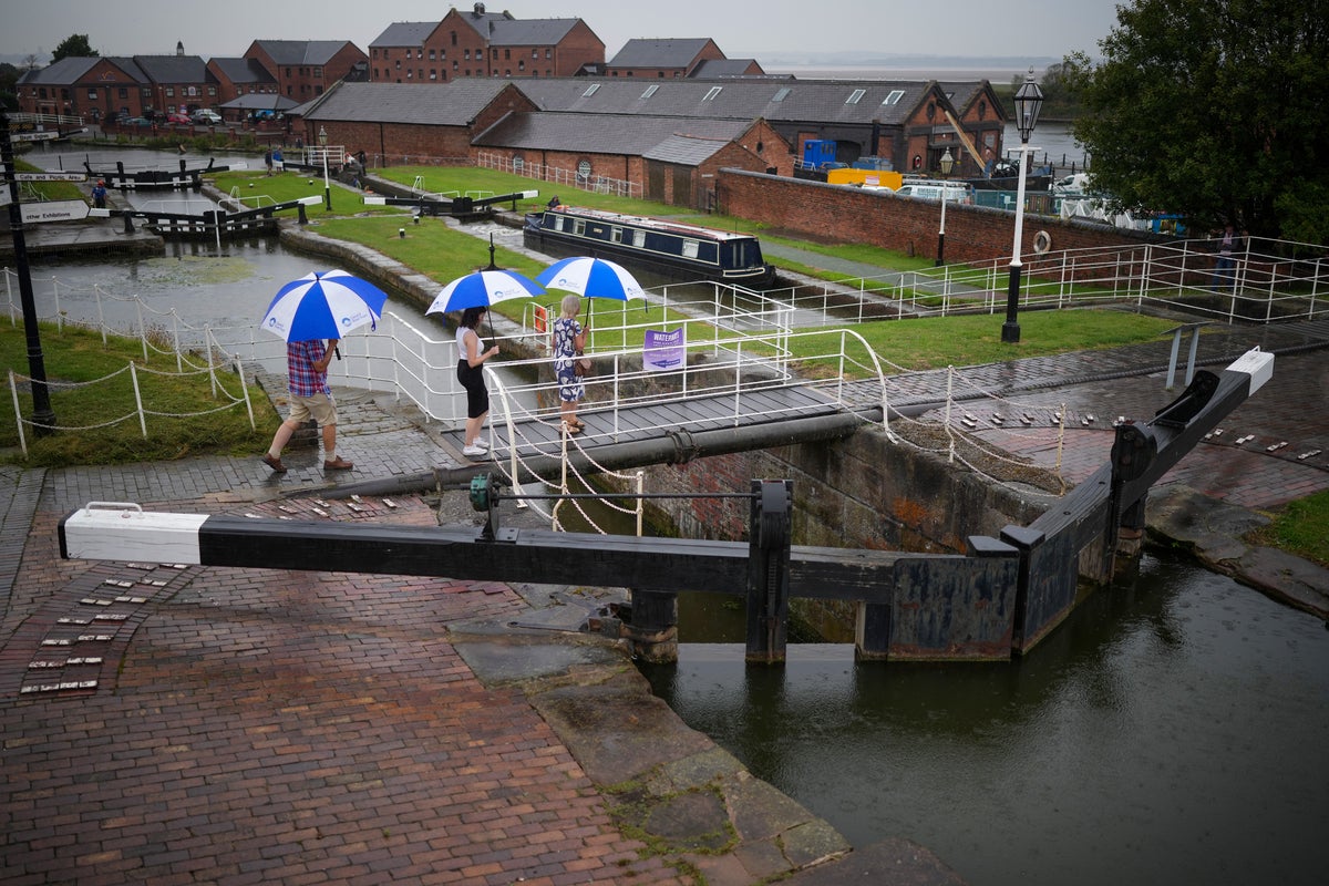
Britain is on high alert for flash flooding as the heatwave gives way to heavy thunderstorms and torrential rain on parched ground.
The Met Office issued yellow weather warnings for thunderstorms and rain across most of Britain until late on Tuesday, with a small chance that fast-moving water could cause “risk to life”. These dangers will persist in southern England until Wednesday.
There was localised flooding in parts of Cornwall, Devon and Somerset on Monday – the same day as those areas were hit by a hosepipe ban because of the dry summer drought.
“There are likely to be more flash floods,” Tom Morgan, a forecaster at the Met Office, told The Independent on Monday.
Elsewhere in England, a band of weather bringing hail and lightning could adversely affect places stretching from Lincolnshire to Essex, he added.
As well as potentially causing power outages, the long-awaited rain could result in flooded homes and businesses.
The National Drought Group has moved parts of the South West, parts of southern and central England, and the East of England into official drought status, while six water companies have imposed or announced plans to impose hosepipe restrictions.
The risk of surface water flooding is a result of this summer’s soaring temperatures, which have baked much of Britain’s soil, meaning it is now unable to soak up rainwater effectively. Rain will run off such soil and lead to flash flooding.
“This excess water can rapidly inundate some flood-prone areas. Particular areas of cautions are low-lying stretches of road and those areas adjoining sloping fields where water can quickly run off, creating fast-emerging hazards,” said Dan Suri, chief forecaster at the Met Office.
Professor Hannah Cloke, a hydrology specialist at the University of Reading, said it is not just rural areas that face sudden flooding.
Drains in cities like London might not be able to cope with the volume of runoff rainfall, potentially leading to the flooding of the Tube and underground car parks, she said.
“It is not like we haven’t seen this recently,” Prof Cloke added, referring to the floods experienced in the capital last year.
Robert Caudwell, chairman of the Association of Drainage Authorities (ADA), also expressed his concern for the situation this week, saying there is “very little” his industry can do to prevent it.

Normally, water companies could take some water out of the system to reduce the risk of flooding, according to Mr Caudwell. However, this cannot be done because of the current drought and because it is difficult to predict the upcoming thunderstorm’s locations, he said.
Last week, an official drought was declared in eight parts of England, including Cornwall, south London and the East Midlands. Hosepipe bans will be implemented across parts of the country in the coming weeks.
This week’s rain will do little to dent the severe shortage of water the UK is now experiencing.
Christine Colvin, director of advocacy and engagement at the Rivers Trust, said: “We want people to keep this rainfall event in context and as part of the bigger picture, and the bigger picture is that we’ve actually still had an incredibly dry year as well as a dry summer, and it’s going to take sustained rainfall to replenish our supplies.”
“Just because it rains, it doesn’t mean the drought is over,” Ms Colvin added.
On this point, John Curtin, executive director of operations at the Environment Agency, said we are in a “twilight zone of having both flood and drought warnings”, while Prof Cloke said the heavy rainfall will be “a drop in the ocean”.
Conditions will become less humid and temperatures will fall as the week goes on, but highs in the mid-20s are still expected in the coming days, the Met Office said.


