
Get all your news in one place.
100's of premium titles.
One app.
Start reading
The Independent UK
The Independent UK
National
Andy Gregory

Medieval map may show evidence of Wales’ Atlantis

Pixabay

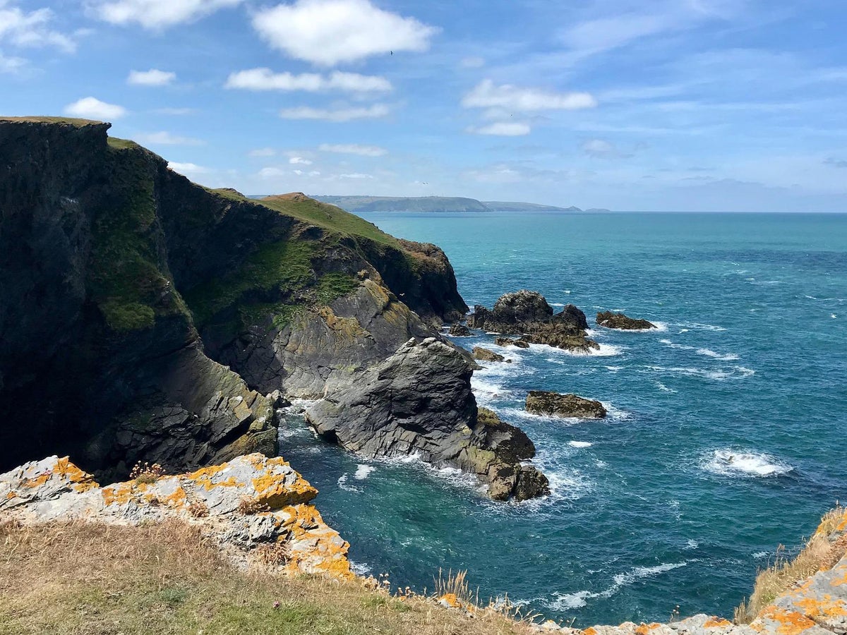
The oldest surviving map of Great Britain could provide evidence of a lost land, enshrined in legend for centuries, dubbed the Welsh Atlantis.

For more than 700 years, tales have been written of the missing land at Cardigan Bay, which according to the legend of Cantre'r Gwaelod was swallowed by the sea after the priestess of a fairy well allowed it to overflow.

Sign up to read this article
Read news from 100's of titles, curated specifically for you.
Already a member? Sign in here
Related Stories
Top stories on inkl right now
One subscription that gives you access to news from hundreds of sites
Already a member? Sign in here
Our Picks
Fourteen days free
Download the app
One app. One membership.
100+ trusted global sources.