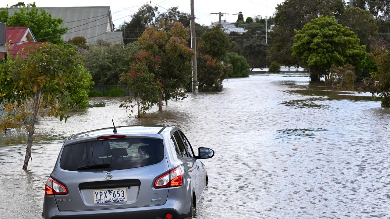
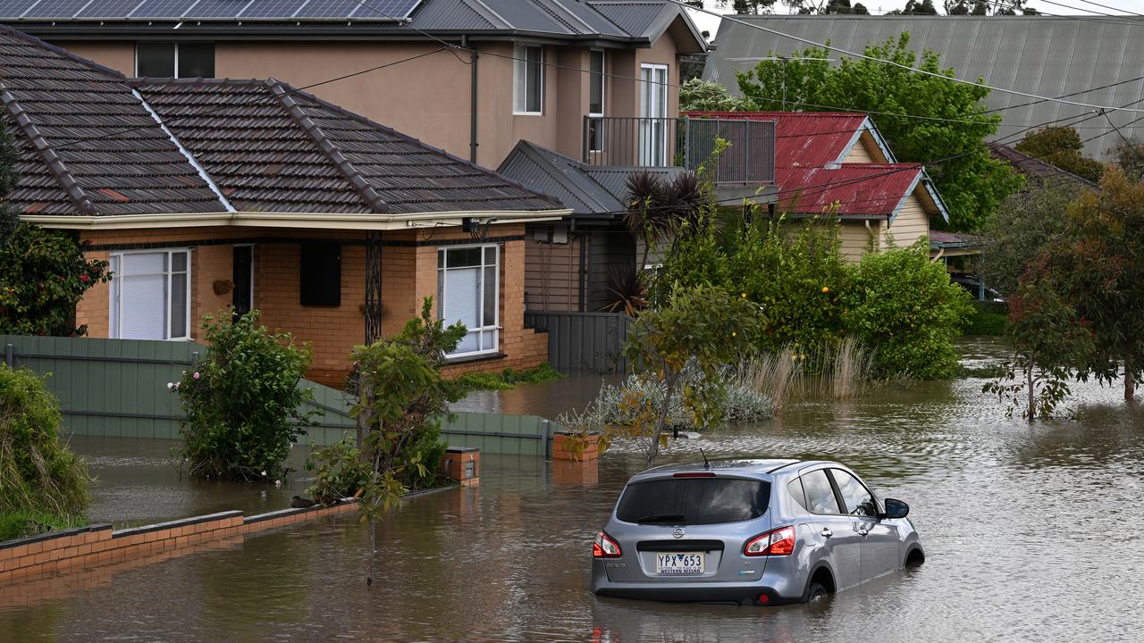
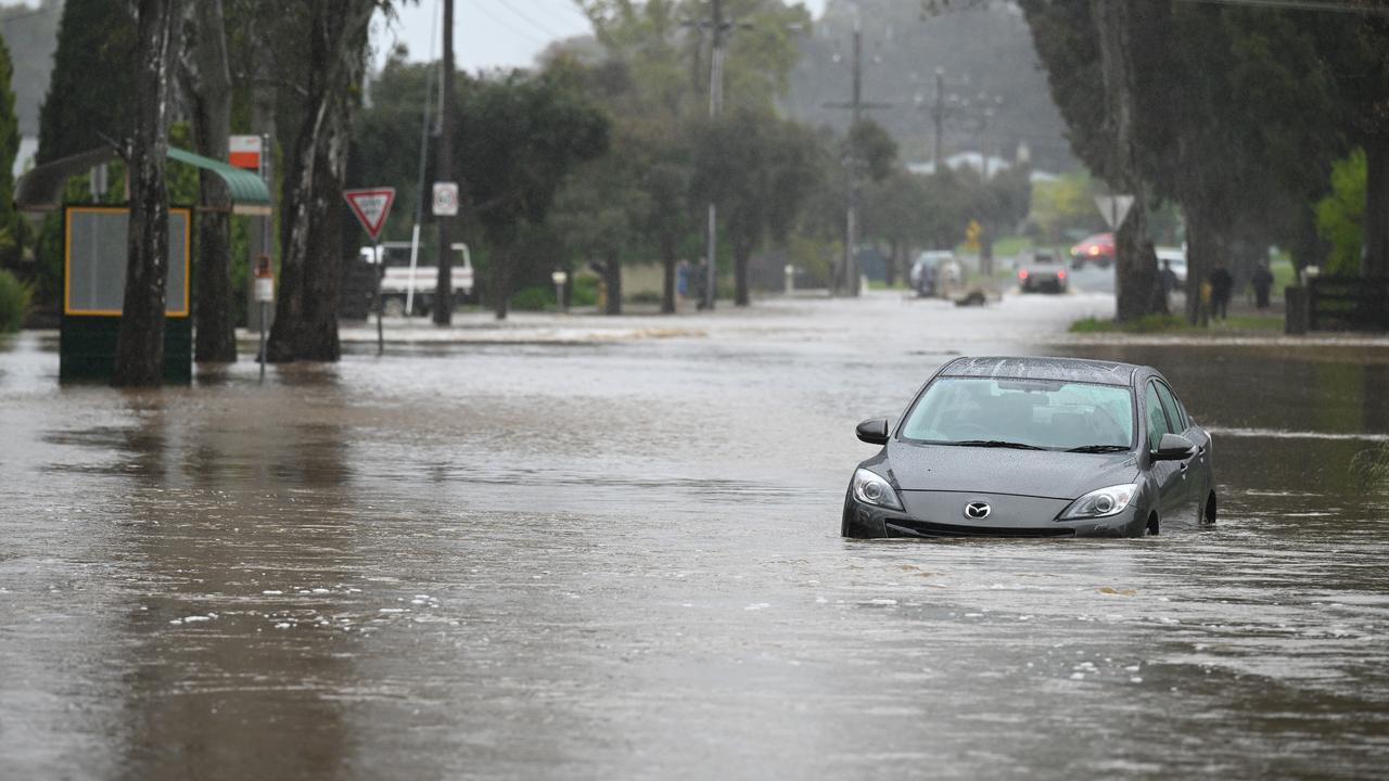
Almost 20,000 homes have been put on notice for future flood risk after a water authority released revised flood maps.
More than 19,000 homes in Banyule City Council in Melbourne's northeast and Moonee Valley City Council in the city's northwest have been flagged as being newly at risk during a significant rainfall event in Melbourne Water's draft flood maps.
In Banyule, which encompasses suburbs such as Greensborough, Ivanhoe and Heidelberg, about 7400 homes, or just over one-in-10 properties, could be affected.
About 44 per cent of impacted properties - 3256 - are categorised in the two lowest zones, which is generally considered safe for people and building.
"For those households, the practical response is awareness and preparedness rather than significant action," the authority said.
About 16 per cent - 11,730 properties - of the Moonee Valley local government area, which include Essendon, Airport West and Ascot Vale, could be affected, with four-in-five of those rated in the two lowest risk categories.
About 1400 homes fall in the next highest risk category where flooding may be unsafe for children, the elderly and vehicles.
Seven per cent, or 821 properties, are rated high risk, where floodwaters are unsafe for people and vehicle and may damage or destroy most types of buildings.
Moonee Valley Council Mayor Rose Iser encouraged everyone to check the maps.
"Most importantly, the maps tell council, other service providers and Melbourne Water where the work needs to be done to support our community and protect against flooding," she said in a statement.
Melbourne Water executive general manager Chris Brace also encouraged residents in both areas to check their address.
"For most people, the maps will confirm they are not at flood risk, or that their risk is lower than they might have expected," Mr Brace said.
"For those who are affected, we want to make sure they have clear and practical information about what that means for their property."
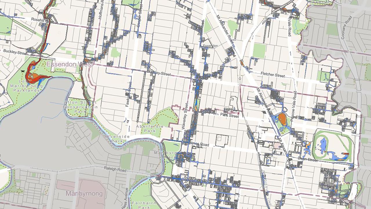
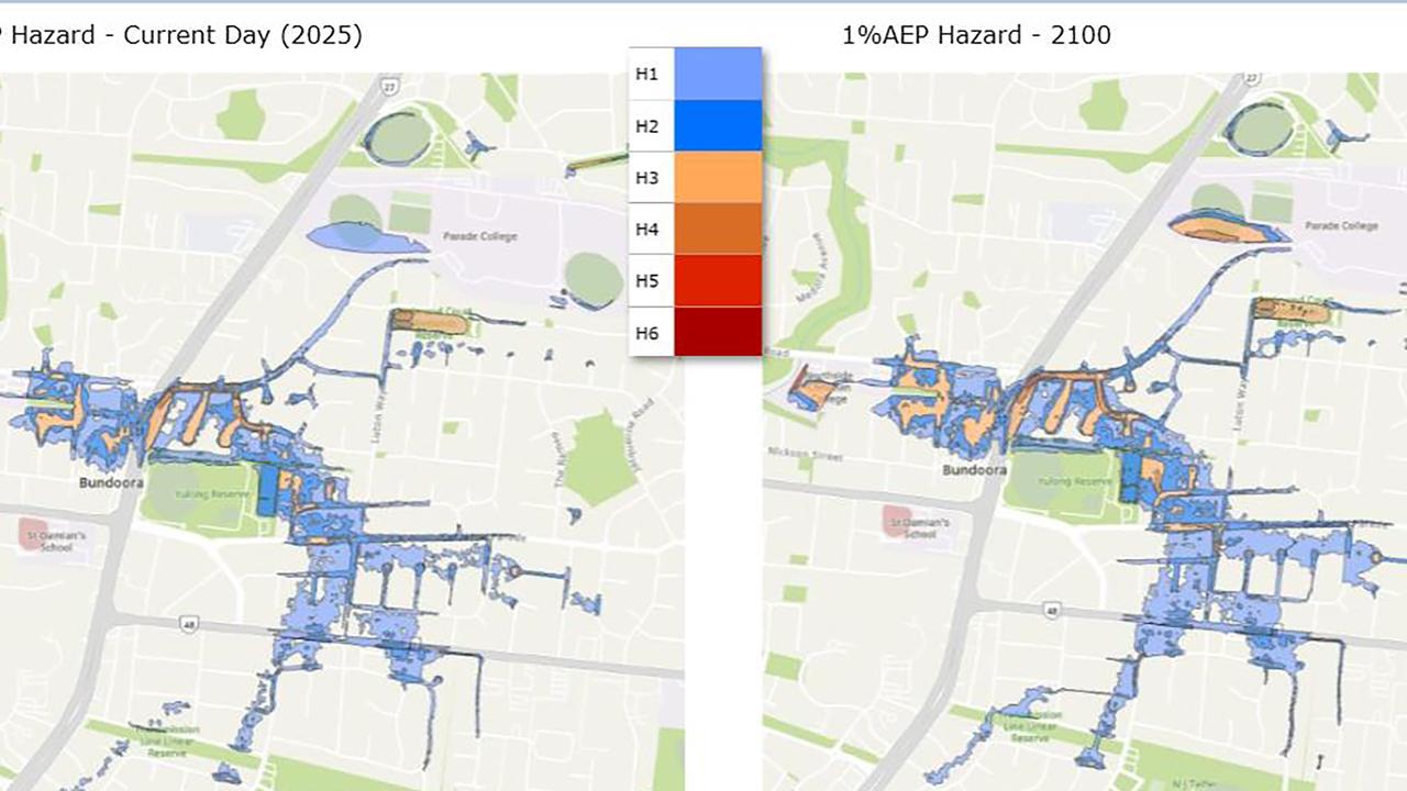
The authority said the draft map showed a stormwater flood that had a one per cent chance of occurring in any given year.
The flood forecasts were developed during modern modelling techniques to include local drainage systems never previously modelled and also considers the impact of climate change on flooding risk by the year 2100.
Letters will soon be sent to people whose properties are identified as at risk, outlining the potential impacts.
Updated draft flood maps have been released for the inner-north council areas of Darebin and Merri-bek and inner-southeast areas of Yarra and Glen Eira, as Melbourne Water works to develop revised maps for the rest of the state's 38 local government areas.