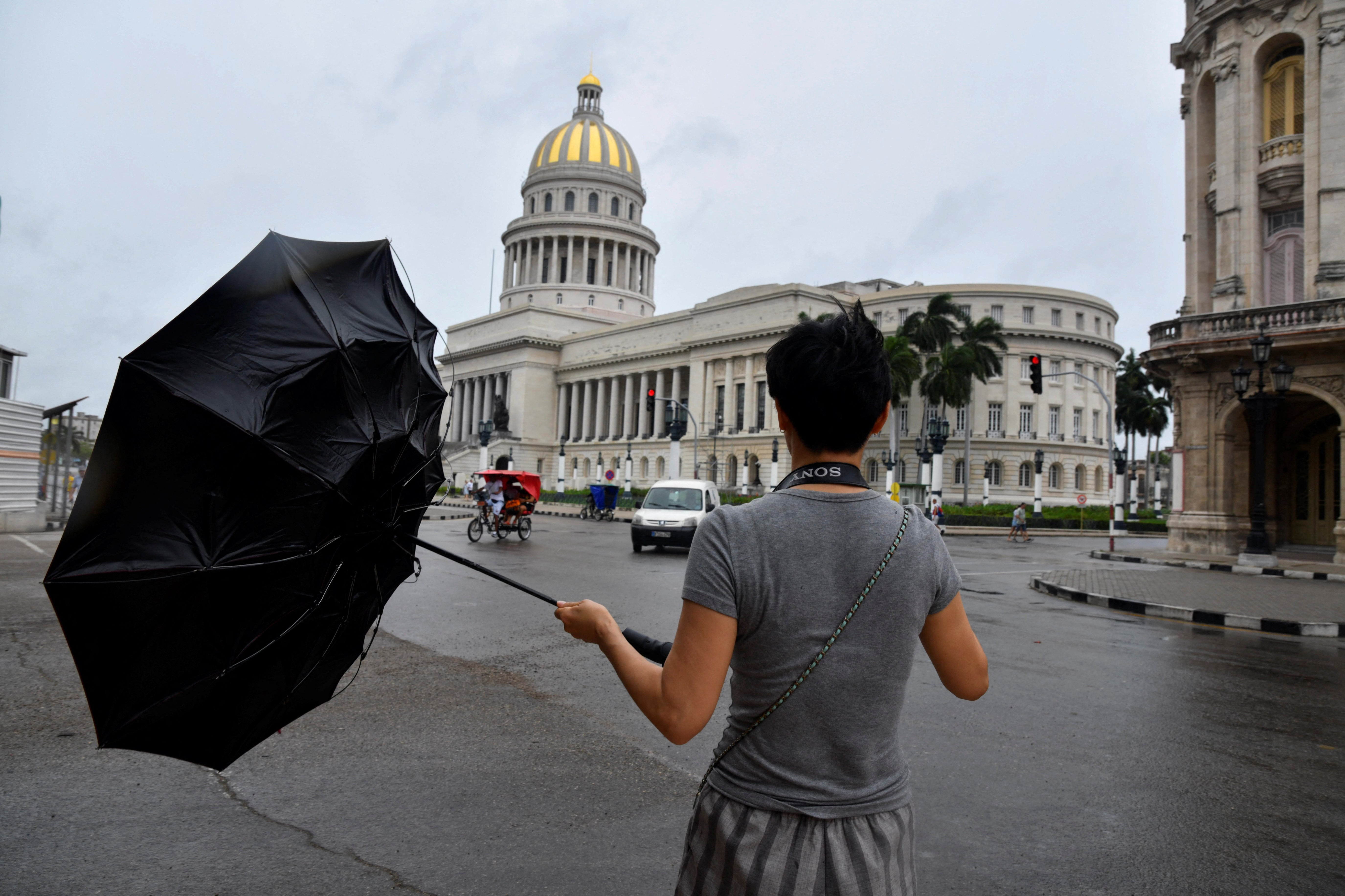
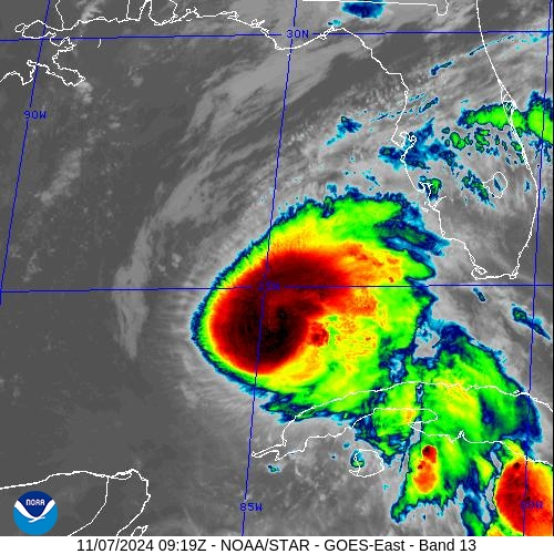
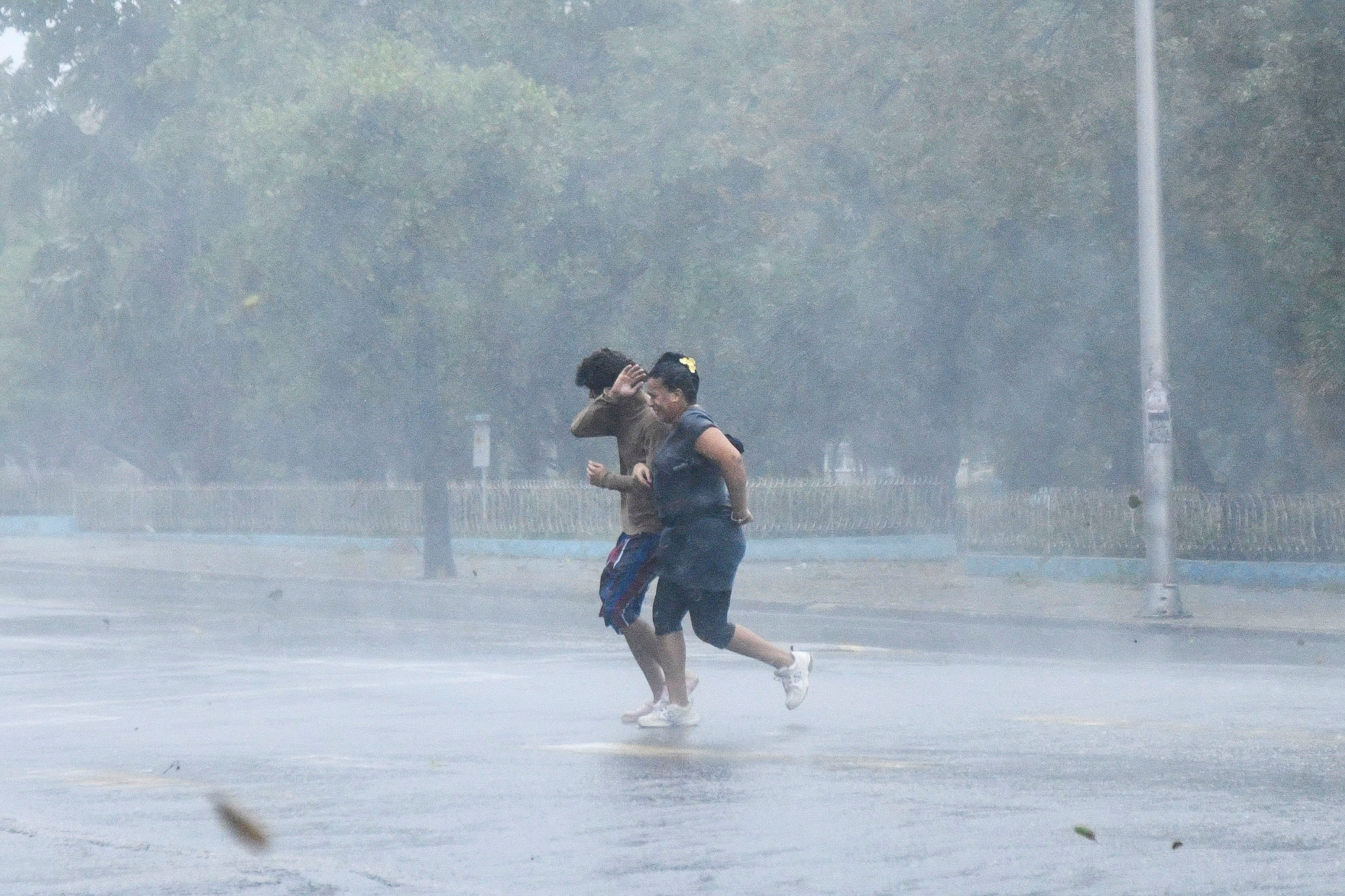
Hurricane Rafael weakened to a Category 2 storm early Thursday morning after walloping Cuba, knocking out the entire country’s power grid.
The system, with maximum wind speeds of 105mph, moved slowly through the Gulf of Mexico and headed northwest throughtout the day, gaining some strength on Thursday afternoon. But National Hurricane Center Director Michael Brennan said Rafael would likely weaken by the weekend and be downgraded to a tropical storm.
Forecasters said it was anticipated to move west through the weekend and into early next week. Then, it would veer toward the southwest.
The National Hurricane Center said Rafael was likely to produce life-threatening surf and rip current conditions along the Gulf Coast for the next few days.

While watches and warnings were no longer in effect for Rafael, Cuba will see up to four more inches of rain on Thursday. That would bring total rainfall from Rafael to 12 inches in portions of western Cuba. Mudslides and flash flooding are still possible in the Caribbean country, which was recovering from another hurricane that killed at least six people two weeks ago.

In addition, tropical-storm-force winds are expected for the Dry Tortugas — islands near Key West — through the morning.
“Everyone along the Gulf coast should closely monitor forecast updates. The trend is favoring less impacts from Rafael this weekend and early next week,” AccuWeather Chief Meteorologist Jon Porter said in a statement.

“Dry air and intense wind shear will tear Rafael apart in the Gulf of Mexico. The hurricane will quickly lose wind intensity as it approaches the coast. There is a possibility that Rafael could end up meandering in the Gulf off the coast of Louisiana and never make landfall in the U.S. as it falls apart into a cluster of thunderstorms.”

AccuWeather meteorologists said Wednesday, before the hurricane hit Cuba, that it could bring as many as 15 inches of rain to parts of the Southeast. Florida was already hit with gusty winds and pelted by showers on Wednesday.
This week, other Gulf Coast states have seen severe weather, including tornadoes.
Rafael is the 17th named storm of the Atlantic Hurricane Season. This season was forecast to be well above average and warm waters in the Gulf — more likely due to climate change — have made for ripe hurricane conditions.


