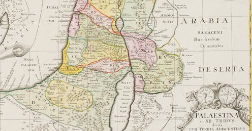
Maps are ubiquitous – on phones, in-flight and car displays, and in textbooks the world over. While some maps delineate and name territories and boundaries, others show different voting blocs in elections, and GPS devices help drivers navigate to their destination.
But no matter the purpose, all maps have something in common: They are political. Making maps is about making decisions about what to omit and what to include. They are subject to selection, classification, abstractions and simplifications. And studying the choices that go into maps, as I do, can reveal different stories about land and the people who claim it as theirs.