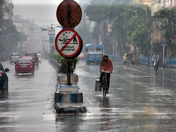
Amaravati: India Meteorological Department (IMD) said on Wednesday that cyclonic circulation lies over east-central and adjoining Southeast Bay of Bengal which is likely to cause low-pressure area over West-central Bay of Bengal in the coming next 24 hours.
"A cyclonic circulation lies over East central & adjoining Southeast Bay of Bengal and extends up to 5.8 km above mean sea level. Under its influence, a Low-Pressure Area is likely to form over the West-central Bay of Bengal during the next 24 hours," said Meteorological centre, Amaravati.
Read also: Entertainment: SonyLIV announces premiere date for 'College Romance 3'
It said the trough runs from cyclonic circulation over East central & adjoining Southeast Bay of Bengal to north Kerala across Rayalaseema & South Interior Karnataka between 3.1 km & 5.8 km above mean sea level.
Read also: Uttar Pradesh: Bareilly DM bans jeans, t-shirts in office
IMD further said that "the north-south trough from Chhattisgarh to a cyclonic circulation over South Interior Karnataka & neighborhood across Andhra Pradesh at 0.9 km above mean sea level has become less marked." The Met Department also issued yellow alerts on Monday due to widespread rainfall activities for South Odisha districts on September 8 and 9. (ANI)


