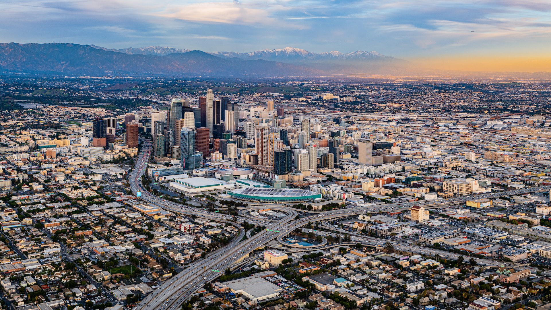
Los Angeles is at risk of a major earthquake, but new research shows that the shaking from the "Big One" may not be as catastrophic as scientists initially feared.
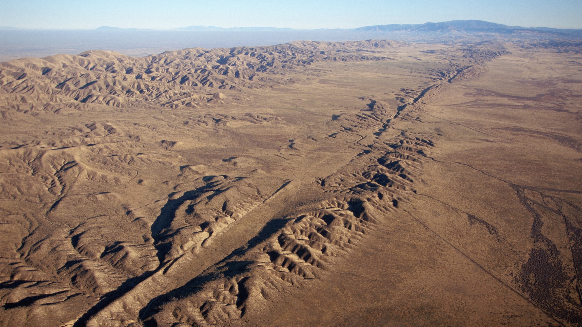
A new simulation of the shaking from a magnitude 7.8 earthquake on the south San Andreas fault suggests that LA may see 50% less ground motion than previously predicted.
That could be good news for the City of Angels, but residents (and builders) shouldn't let their guard down, researchers say — there are still many questions about the damage a large quake could wreak in the region.
"This is only one scenario," said study co-author Te-Yang Yeh, a postdoctoral researcher at San Diego State University.
The study has not yet undergone peer review but appears on the preprint site ESS Open Archive. The study updates computer modeling first conducted during the 2008 Great Southern California ShakeOut, a project designed to quantify the consequences of a magnitude 7.8 quake on the southern San Andreas fault, which runs 30 miles (50 kilometers) east of downtown LA.
According to the Statewide California Earthquake Center, such a worst-case quake is expected to cause 1,800 deaths, 50,000 injuries and $200 billion in damage.
ShakeOut predicted surprisingly dramatic ground motion in downtown LA, said Thomas Heaton, a professor emeritus of geophysics and mechanical and civil engineering at Caltech, who was not involved in the new study.
"That made quite a stir at the time, and then a number of us in the field were wondering whether or not the simulations were appropriate," Heaton told Live Science. In particular, the simulations suggested that the basins around the city – from the San Gabriel basin where Pasadena sits to the Los Angeles basin that holds its eponymous city — would act as what's called a "waveguide," funneling earthquake waves right toward the city. But basins are structurally complicated, Heaton said, so it's not clear whether they'd be such perfect channels.
The quake simulations used in the ShakeOut project were not as detailed as today's technology allows, Yeh told Live Science. For example, the models represented the surface between the fault and LA as smooth. Yeh and Kim Olsen, a seismologist at San Diego State who co-authored the study, used a new simulation that included actual topography as well as detailed information about the geometry of the fault and the way waves travel through the subsurface.

Their results showed a better outlook for LA. "The ground motions are still profound," Yeh said, "but it's not as horrifying as what was previously predicted."
While the basins around LA do channel earthquake waves to some extent, the researchers found, the mountainous topography around the fault also has a scattering effect. Thus, the waves going into the basins aren't as strong as previously expected, so neither are the waves coming out.
Still, that doesn't mean Southern Californians can rest easy.
"It's important that they actually redid this calculation, and I applaud them for that," Heaton said. "That's how good science progresses. But what is still missing in the entire analysis is real data from earthquakes."
The area is now well-observed by a network of seismic monitors, Heaton said, but more quakes will have to occur to get those data points.
Another consideration is that ground motion could vary a lot even within the Los Angeles area, regardless of what the whole city's average shaking looks like, said Zachary Ross, a geophysicist at Caltech who was not involved in the new research.
The middle of the Los Angeles basin sits on sediments, Ross said, which are relatively loose and can move easily in a quake, whereas the areas closer to the mountains may have more rigid, resistant rock. There are also multiple other fault networks beside the San Andreas near Los Angeles, and they create their own hazards.
"That's part of what makes this whole problem just so challenging," Ross told Live Science. "At the end of the day, even if you could get this one simulation fairly reasonable, it's just one of them."


