“This is approximately triple the normal likelihood.”
potential six months of rain
Laura Boekel
Annastacia Palaszczuk
You may have already heard the news that we’re due for a soggy spring, with Queensland facing a . BoM meteorologist said we’re going to see more rain because a possible La Niña could crossover with another weather system, the negative Indian Ocean Dipole.
“We’re gearing up for a season that could see quite a bit of flooding across spring,” she said in a conference with Queensland Premier .
In short, another La Niña would mean above average rainfall for north and eastern Australia over spring and summer.
The triple-dip La Niña is pretty fucking rare — the last one was between 1998 and 2001, . It’d be the fourth recorded triple La Niña since 1900. Four out of the seven climate models sussed out by the BoM predicts it returning in early to late spring.
And yep, there’s a solid chance climate change is part of the reason.
, a meteorologist for Weatherzone, spoke to about Ms Sopping Sally herself.
“Climate change is probably one of the bigger drivers,” he said.
Great.
Thanks to the devastating impact of the last two La Niñas, a third could mean increased flooding because Aus hasn’t really had a chance to recover. The land isn’t necessarily prepared for another bout of rain because it hasn’t been able to dry.
As pointed out by the ABC, loads of our dams and other forms of water storage are already full.
BoM meteorologist listed some of the impacts of another Ms Niña.
“
A negative Indian Ocean Dipole happens when than in the west, according to Uni of Melb climate science lecturer .
One of the things making the potential impacts of another Ms Niña worse is the fact that we currently have a negative IOD, and it’s like to keep going into spring.
A negative IOD usually means above average rain for winter and spring.
So a combo of the two? Not great.
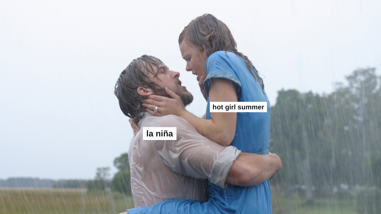
Much like an annoying, late night guest who hasn’t got the memo that kick ons is over, it seems La Niña may continue lingering for another season. Wet Girl Summer it is.
How common is a triple La Niña?
as per the ABC Andrew Schmidt 9NewsWhat are some of the potential consequences of a third La Niña?
Jonathan How As many Australians in the east know the soils are still quite wet, the rivers are running quite high, and the dams are full, and with this outlook of increased rainfall, it does bring elevated flood risks for much of eastern Australia,” he said per SBS.How is the Indian Ocean Dipole related?
waters in the east Indian Ocean are warmer Andrew KingThe @BOM_au has just issued a La Niña ALERT, meaning there is now a 70% chance of La Niña being declared later this year. If it is, this would be the first time on record we have seen 3 consecutive La Niña events coinciding with back-to-back negative IOD years. pic.twitter.com/q9hKMmsD4Z
— Ben Domensino (@Ben_Domensino) August 16, 2022
The post It’s Looking More & More Likely We’re Getting A Third La Niña So Here’s Yr 3 Minute Explainer appeared first on PEDESTRIAN.TV .


