The risk of a volcanic eruption on Iceland's Reykjanes Peninsula is still very high, with ground deformation and earthquakes continuing along the magma dike — a near-vertical underground tunnel running from a magma chamber towards Earth's surface.
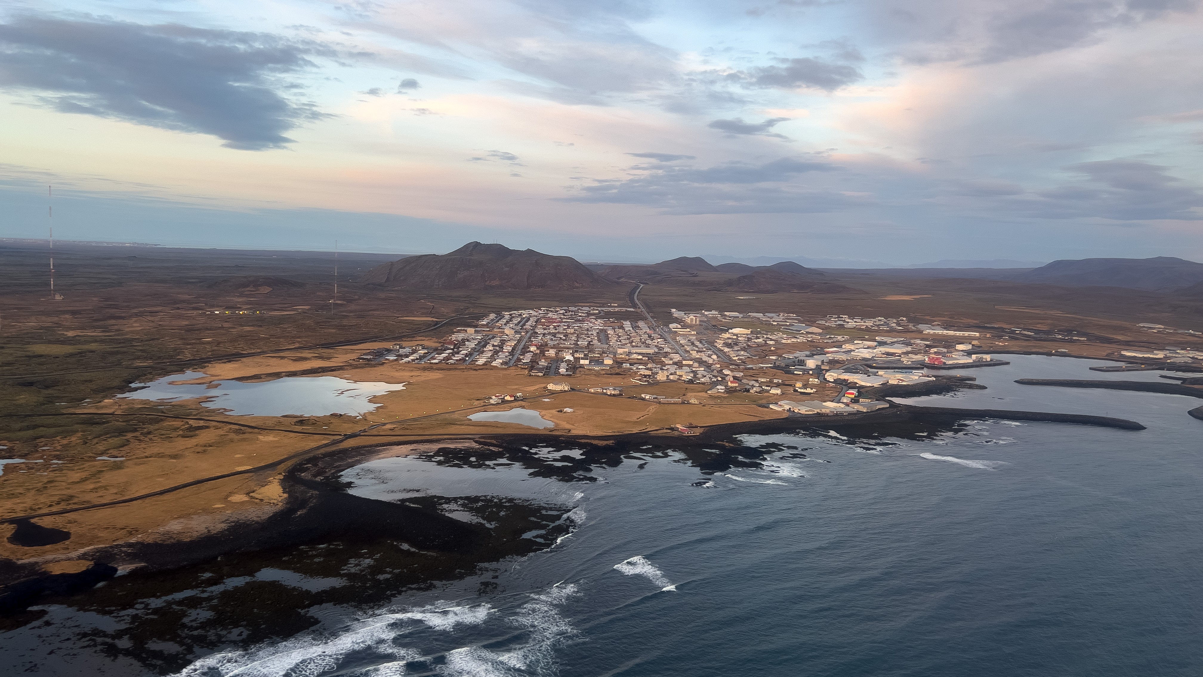
The 9.3-mile (15 kilometers) magma dike is located between Sundhnúk in the northeast to the town of Grindavík and into the sea. It formed after thousands of earthquakes hit the region in October and November. On Nov. 10, residents of Grindavík were evacuated, and authorities warned of an imminent eruption — potentially within just days.
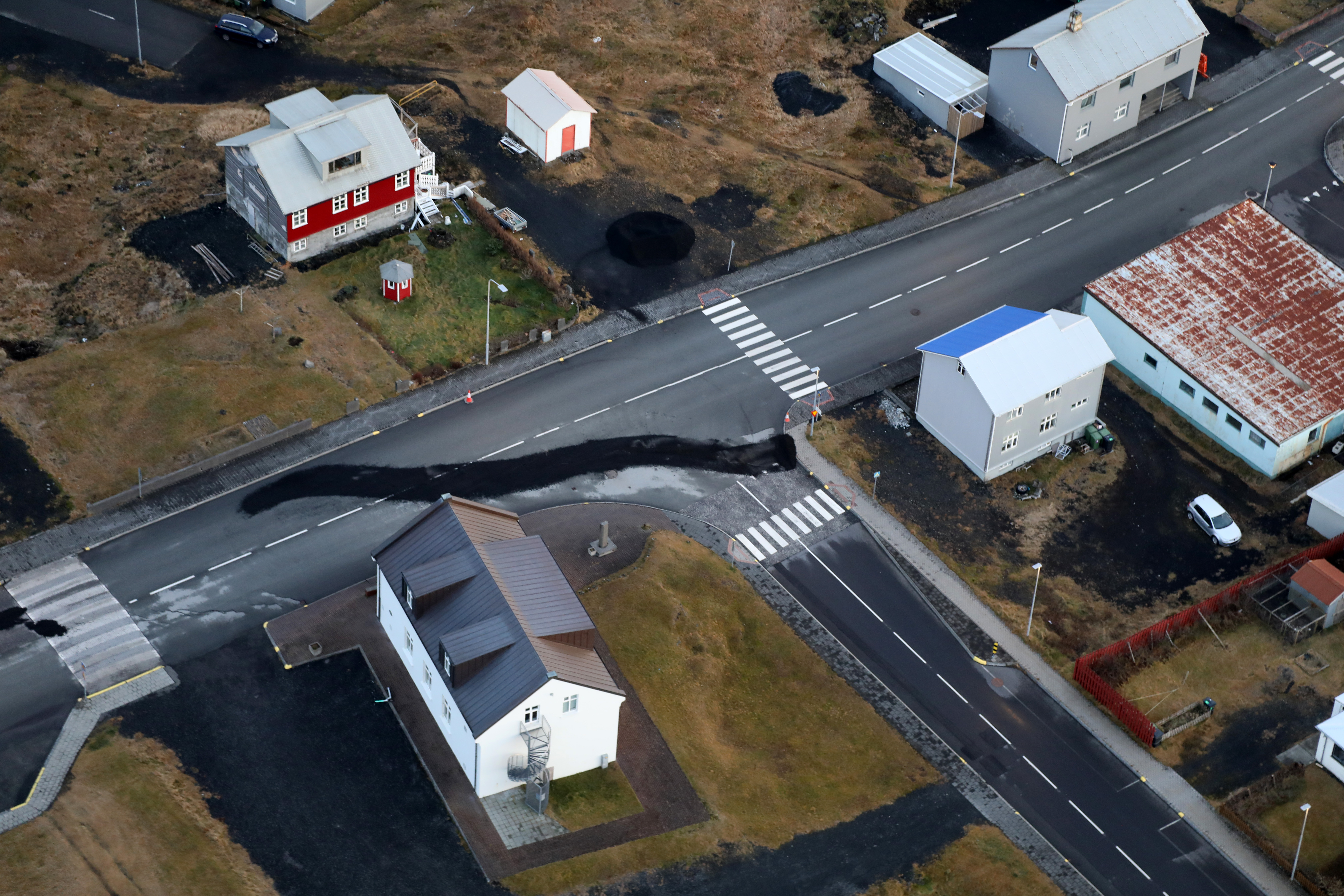
Since then, seismic activity has continued, with more than 1,000 earthquakes hitting the area most days. Ground deformation has also continued, and huge sinkholes have appeared in Grindavík, while significant uplift around the Svartsengi power plant and Blue Lagoon resort has also been recorded since the weekend.

"The initial ground movement above the dike was down, not up," Jaime Toro, professor of structural geology and tectonics at West Virginia University, told Live Science in an email. "The dike pressure pushed the rift open and the magma that moved up drained from below, creating a volume deficit."
Related: Iceland volcano LIVE: Live stream shows earthquake activity at center of danger zone
According to a translated statement from the Icelandic Met Office (IMO), the area at most risk of a fissure appearing — the point where the magma breaks through Earth's surface — is Hagafell, about 1.2 miles (2 km) northeast of Grindavík. In recent days, earthquake activity has fallen slightly and deformation appears to have slowed down, representatives wrote in the statement on Tuesday.
In an interview with mbl.is the same day, Benedikt Gunnar Ófeigsson, head of deformation measurements at the IMO, said the risk of eruption may slowly be decreasing. "If we look at the conditions in the magma tunnel, maybe the probability of eruption is slowly decreasing," he said. "But it is far too early to rule out that possibility."
Activity at the magma system would need to cease for the eruption risk to be lowered. And this is not the case.
"I don't think that the risk of an eruption is starting to fall," Bill McGuire, emeritus professor of Earth sciences at University College London in the U.K., told Live Science in an email. "In fact, GPS data show that the ground surface in the vicinity of the fracture is continuing to swell, which is likely caused by the continued emplacement of magma at shallow depths. In addition, hundreds of earth tremors are still happening every day," McGarvie said.

"It will be several weeks — at least — before it can be said that an eruption is unlikely."
Edward W. Marshall, a researcher at the University of Iceland's Nordic Volcanological Center, also said the risk of eruption is still high. "If nothing happens and the magmatic system becomes seismically silent and there is no ground deformation, then thermal models predict that even wide (e.g. 1 meter [3.3 feet]) magma conduits will freeze solid in days-to-weeks," he told Live Science in an email. "However, there are still earthquakes and ground deformation."
Previous eruptions in the region show that there are further complications when predicting if an eruption could occur. When the nearby Fagradalsfjall volcano erupted in 2021 — for the first time in around 800 years — earthquake activity stopped just before a fissure emerged. It was three weeks between the dike forming and erupting during this event.
"In Grindavík now, it is less than two weeks since dike injection," Marshall said. "So it may take more time. The point is that the soonest possible scenario that an eruption would be designated 'unlikely' is in a week or two. But I think this episode will more likely go on longer."
Editor's note: A previous version of this article attributed McGuire's quotes to another scientist.


