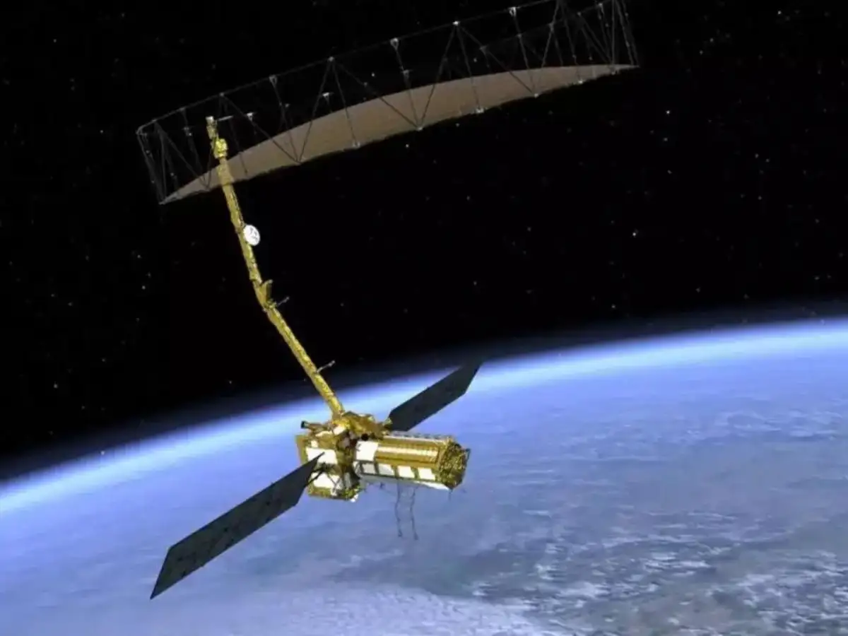
The twin earthquakes that struck Venezuela in June caused the ground to shift by as much as 60 centimetres, helping explain the extensive damage in Caracas and La Guaira, according to new observations from the NASA-ISRO Synthetic Aperture Radar (NISAR) satellite.
The findings mark the first time NISAR's Urgent Response system has been used to map surface displacement following a major earthquake, offering scientists valuable insights into how the Earth's surface moved during the disaster.