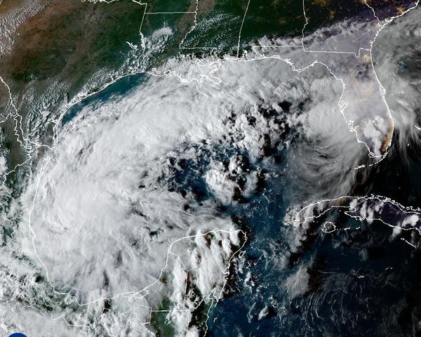
In a tempestuous turn of events, the major East Coast storm gained momentum, proving its fury after relentlessly whipping Florida throughout the weekend. The storm system is now training its sights on the Carolinas, bringing with it a slew of tornado watches and flood alerts, while continuing its tumultuous journey upwards the East Coast.
In the throes of this meteorological tumult, vibrant indications of the storm's intensity radiate from the radar screens. A tableau of alarming hues previews an unruly forecast: The readings from today's rainfall in South Carolina have, without exception, been profuse. It's as though the storm held the state's record tides at ransom, instead depositing record-shattering quantities of rainfall. Today's visual record hints at a tale of torrents near Georgetown, where the blush of pink on the radar translates to a staggering estimate of 9 to 12 inches of rainfall.