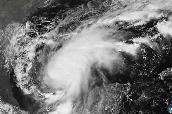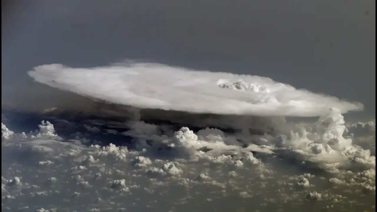
A satellite looking straight down can show where clouds are. NASA’s MISR instrument can reveal something more useful: how high those clouds rise. Its nine cameras view Earth from different angles, creating multiple perspectives of the same scene. That unusual setup allows scientists to study cloud heights, winds, airborne particles and surface features with greater detail. It turns familiar satellite imagery into measurements with depth, movement and atmospheric context.
The idea is surprisingly simple once the cameras are compared. One camera looks directly downward, while four face forward and four face backward. Their viewing angles range from straight down to 70.5 degrees from vertical. As Terra moves across its orbit, each camera sees the same part of Earth at a slightly different angle.