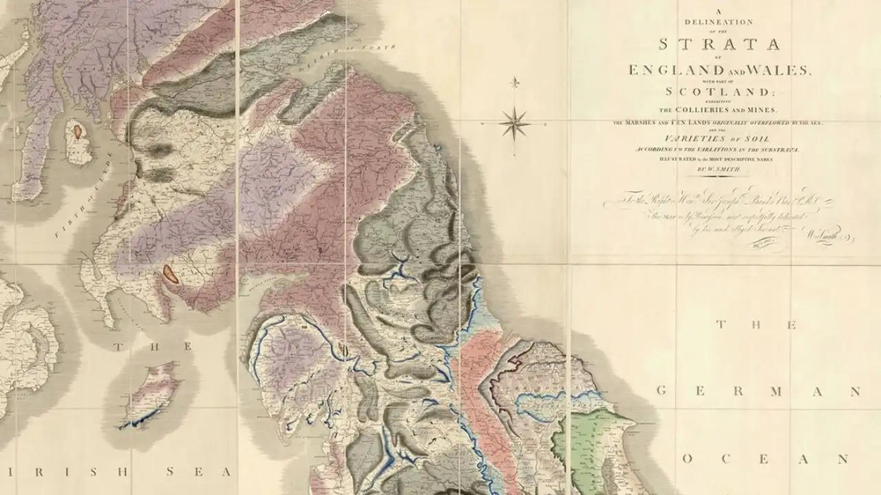
In 1815, William Smith published a map that changed how people could see the ground beneath their feet. It was not simply a map of hills, rivers, towns, mines and roads. Smith had coloured the country according to its underlying rock layers, turning an invisible geological structure into something that could be traced across England and Wales. The map is now recognized as the first geological map of an entire country.
The achievement is remarkable on its own. The story becomes harder to believe when the years around it are considered. Smith had spent decades travelling, collecting fossils, surveying land and recording rock layers. Yet the man who produced one of the most important maps in early geology ended up in a debtors’ prison, sold his fossil collection to raise money and returned home to discover that his house had been taken to settle his debts.