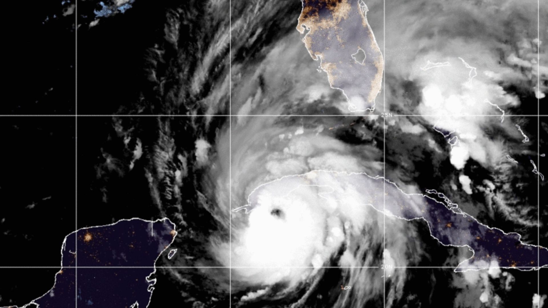
Ian strengthened into a Category 3 major hurricane just before making landfall over western Cuba on Tuesday morning, according to the National Hurricane Center.
State of play: The now-major hurricane continued to strengthen after making landfall in Cuba with maximum sustained winds of 125 mph, the NHC said in a 4:30am tweet. The storm's outer rain band began on Monday night lashing coastal areas of Florida, where it could hit as a Category 4 hurricane as early as Wednesday.
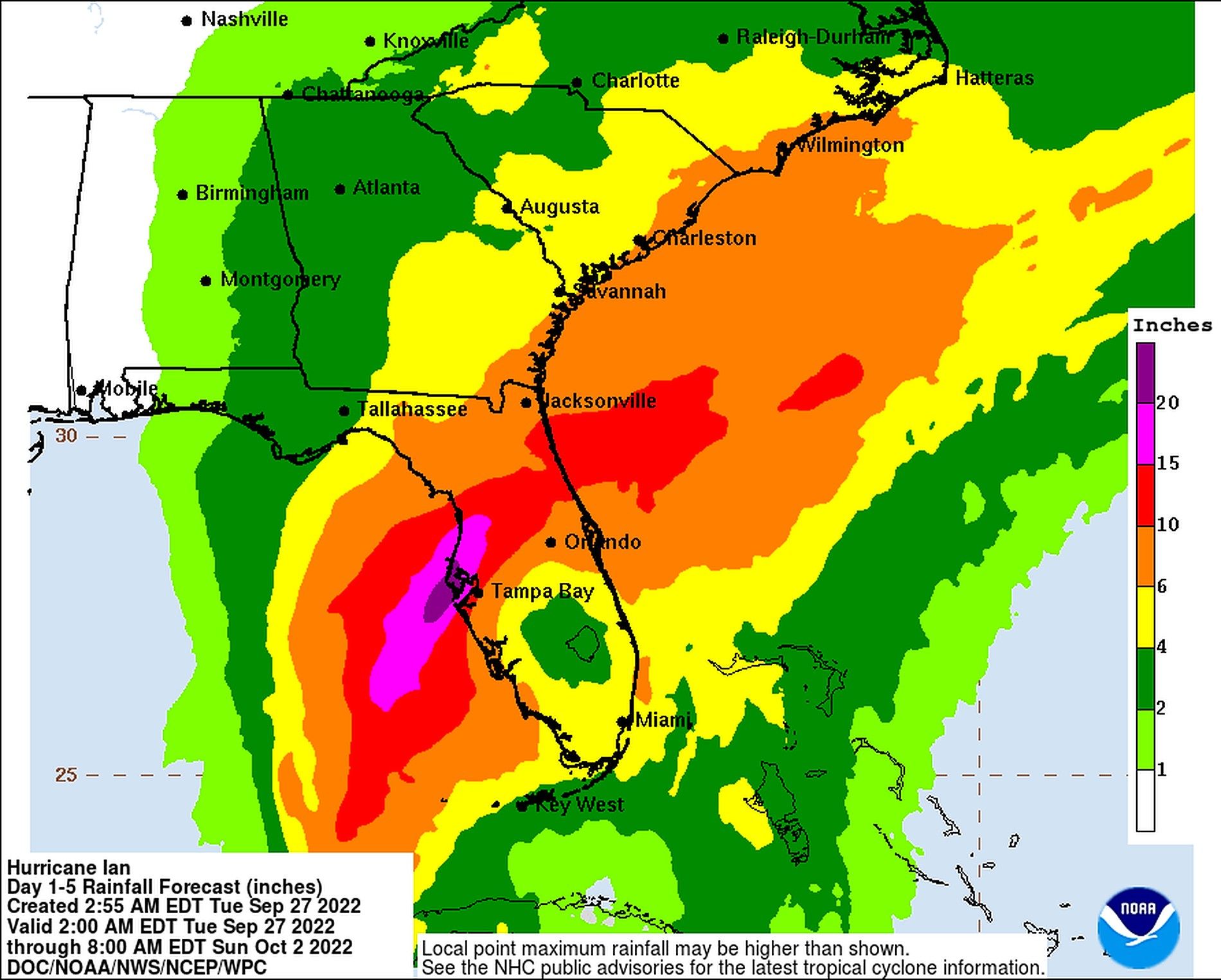
- "Hurricane-force winds are expected in west-central Florida beginning Wednesday morning. Heavy rainfall may cause flash, urban, and small stream flooding over Florida this week," the agency added.

What else to watch: Ian's expected to remain a major hurricane over the southeastern Gulf of Mexico on Wednesday, according to the NHC's 2am outlook.
- Hurricane warnings were in effect for several Cuban provinces and in Florida from Englewood to the Anclote River, including Tampa Bay, and the Dry Tortugas.
- A tropical storm warning was issued for the lower Florida Keys from Seven Mile Bridge westward to Key West and from Flamingo to Englewood, along with three Cuban provinces.

The big picture: President Biden declared a federal state of emergency for multiple Florida counties over the weekend, while Florida Gov. Ron DeSantis has declared a statewide emergency.
- Evacuation orders were issued and school closures announced across Florida and Cuba Monday.
- Tampa International Airport said it's closing and suspending operations from 5pm Tuesday due to the hurricane threat.
What they're saying: DeSantis noted at a Monday news conference that Ian would cause "a huge amount" of storm surge.
- "You're going to have flood events. You're going to have a lot of different impacts," he said.
Context: Hurricanes are becoming more intense and damaging due to human-caused climate change, which enables them to shed heavier amounts of rainfall, Axios' Andrew Freedman notes.
Editor's note: This article has been updated with new details throughout.


