A hurricane has formed off the coast of Mexico, the first storm to be classified as a hurricane in the eastern Pacific region so far this year.
The good news is that the hurricane does not appear, at this point, poised to make landfall in Mexico. The New York Times reported that, as of Wednesday afternoon, the storm was around 370 miles southwest of the city of Manzanillo and moving west at roughly six miles per hour — away from land.
Manzanillo is a small port city in the state of Colima, down the Pacific Coast from Puerto Vallerta in the state of Jalisco.
Maria Torres, a meteorologist with the National Hurricane Center in Miami, told the Times that she sees the hurricane as likely to continue moving west tomorrow before making a turn to the west-northwest on Friday.
The Mexican government has not issued any official alerts or warnings regarding the hurricane, though Ms Torres urged residents of communities in the vicinity on the Pacific coast to track the storm in case it should turn unexpectedly in the coming days.
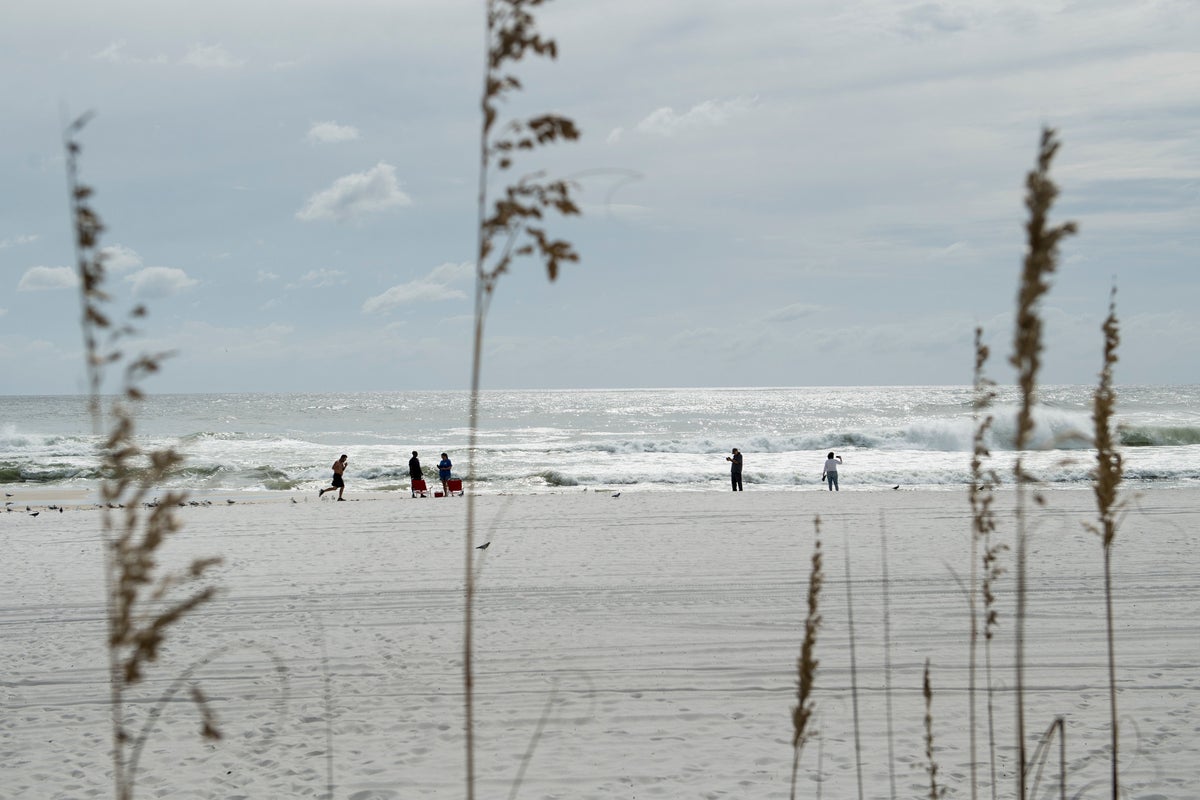
Ms Torres also noted that the storm, even if it never makes landfall, could potentially “create rip currents and hazardous beach conditions.”
The Times reported that because hurricanes generally move west once they form, hurricanes that form in the Atlantic typically pose a greater threat to Mexico and the US.
The eastern Pacific’s hurricane season started on May 15 and runs through the end of the November. Though this is the first hurricane of the year in the eastern Pacific, experts believe it could be an unpredictable hurricane season due to the likely development of El Niño — a weather pattern that can have the effect of increasing the likelihood of storms in the Pacific.
This hurricane season also comes as hurricanes in general are becoming more powerful due to the effects of the climate crisis.
Scientists increasingly believe that although climate change is not increasingly the frequency of with which hurricanes form, it is increasingly the severity of storms.


