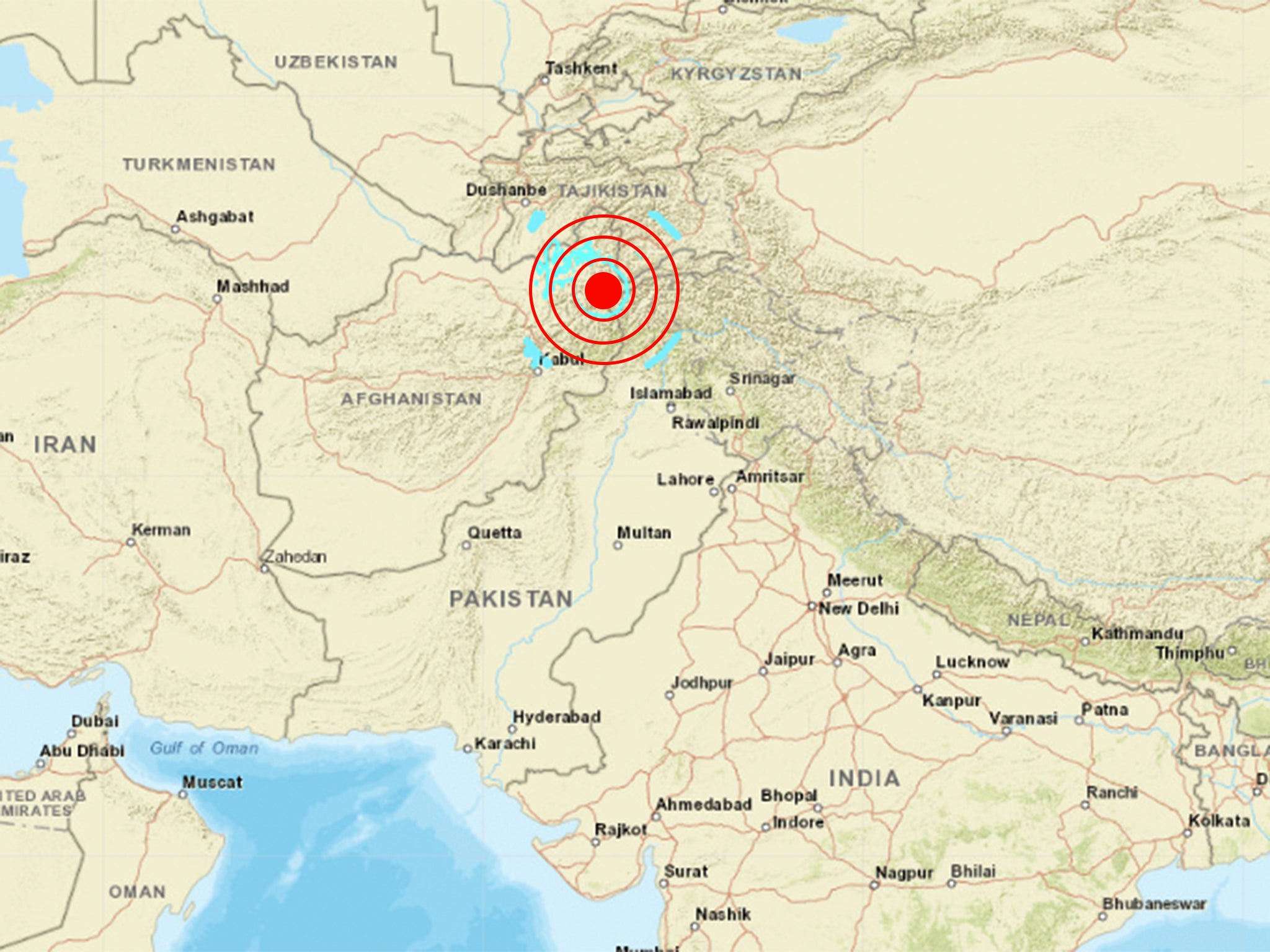
A huge earthquake of 6.8 hit Afghanistan on Tuesday, with tremors felt as far as Pakistan and India.
The quake was at a depth of 184 km (114 miles), hitting at 16:47 UTC.
It was felt in Afghanistan’s capital, Kabul, alongside a number of Pakistani cities including Islamabad and Lahore.
Elsewhere, India’s ANI news agency reported that tremors were felt in New Delhi, the country’s capital.
Witnesses have described to the European-Mediterranean Seismological Centre feeling “strong jolts” and “vertical shaking.”

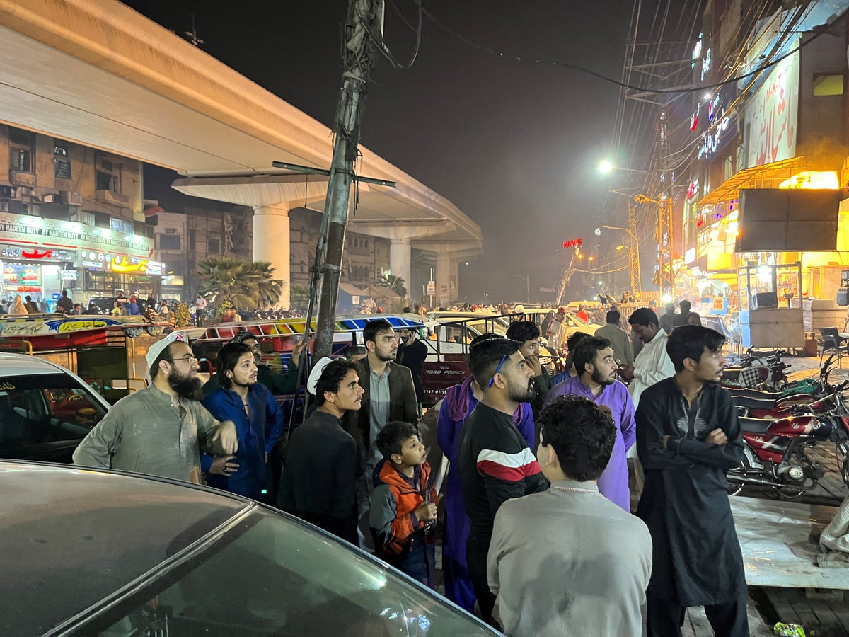
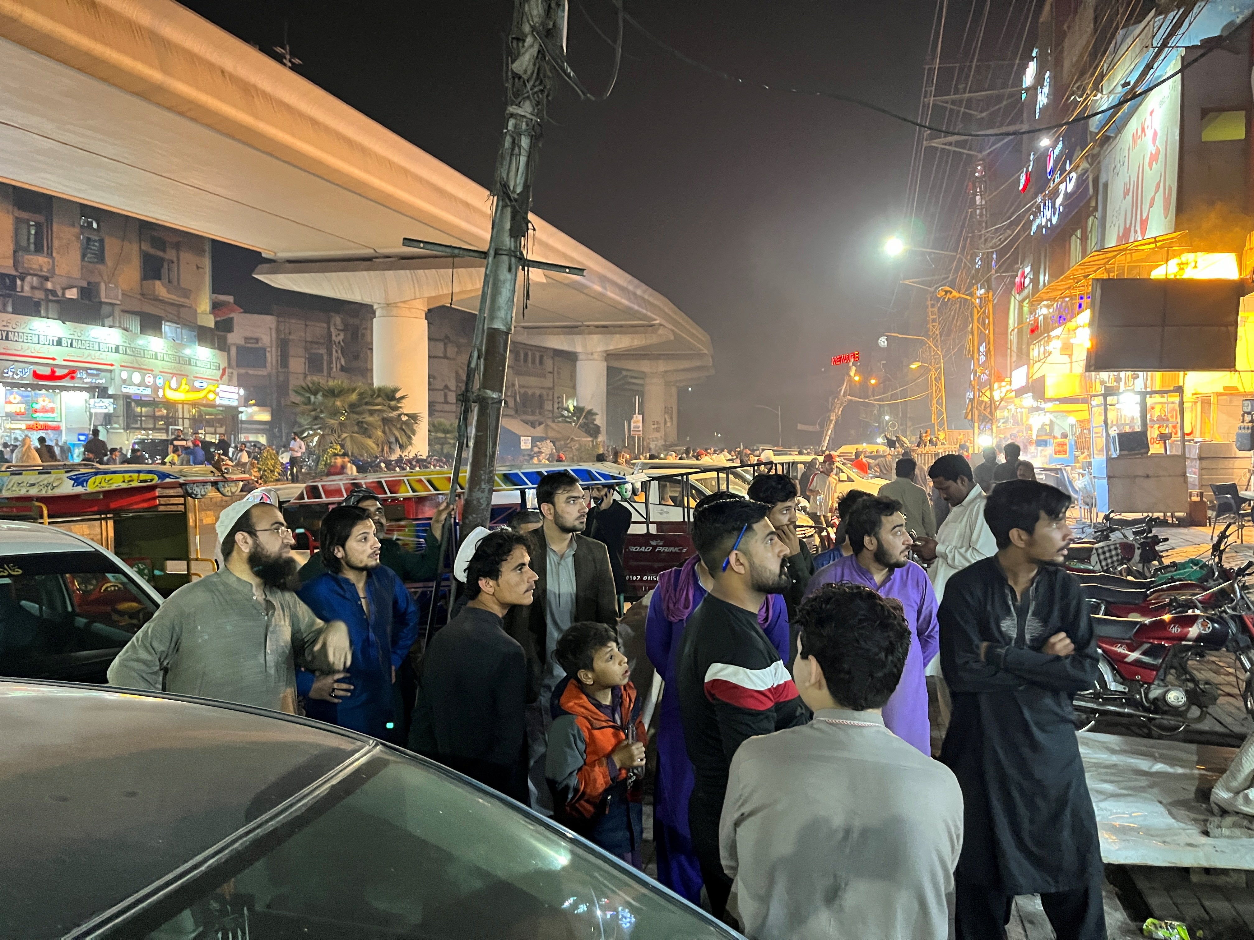
According to CNN, residents were seen evacuating their homes out onto the street. Trees were also seen shaking.
At present, the United States Geological Survey has issued a green alert for shaking-related fatalities and economic losses. To this end, it estimates a low likelihood of casualties and damage.
At least seven people including two children have been injured in Khyber, Swabi, Mardan and Shangla in Pakistan, as confirmed to CNN by Bilal Faizi, spokesperson of the Khyber Pakhtunkhwa provincial rescue services.
The resulting landslides have also blocked roads in the northern Pakistani city of Abbotabad.

According to the UN’s Office for the Coordination of Humanitarian Affairs, more than 7,000 people have been killed in earthquakes in Afghanistan over the last decade.
In June 2022, an earthquake measuring 5.9 struck in the south-east region of Afghanistan. 80% of homes were damaged in the heavily impacted areas of Khost and Paktika.
Triggering huge casualties, the 2022 quake saw over 1,000 deaths and 1,500 injuries.
Afghanistan is situated on the edge of the Eurasian plate, located between a number of fault lines between the Indian and Eurasian plates.
Measuring 7.6 on the Richter scale, the strongest earthquake recorded in Afghanistan occurred on 6 June 1956 in the Kabul region.


