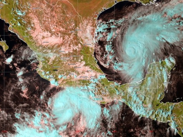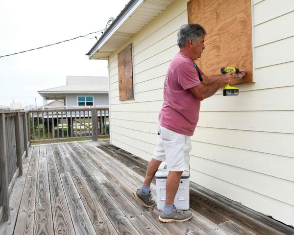
Documentaries about the climate crisis are often illustrated with spectacular satellite images of forest fires, hurricanes and flooded landscapes. People around the world weather these conditions with little control over how their experiences are recorded and represented. Our project, open-weather, offers the tools and knowledge to change that.
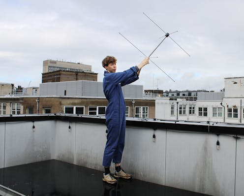
On the first day of COP26 (the latest UN climate change conference in Glasgow) our network of 29 volunteers captured a collective image of Earth by tuning into transmissions from three orbiting National Oceanic and Atmospheric Administration (NOAA) satellites. We did this using DIY satellite ground stations made up of radio antennae plugged into laptops.