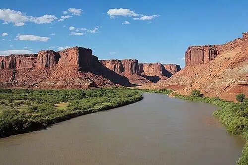
The long-standing question of how the Green River cut through the Uinta Mountains has taken a step closer to resolution. New geological analysis suggests the answer lies not in the river alone, but deep beneath the range. The study examines how the Green River became integrated with the Colorado River, a change that reshaped drainage across western North America. Evidence shows the river carved its path millions of years after the mountains had already formed and long after active mountain building had ended. By combining river geometry, sediment records, and seismic imaging, the researchers argue that subtle but powerful changes in the Earth’s mantle altered the landscape from below, allowing the river to cross what was once a major continental divide.