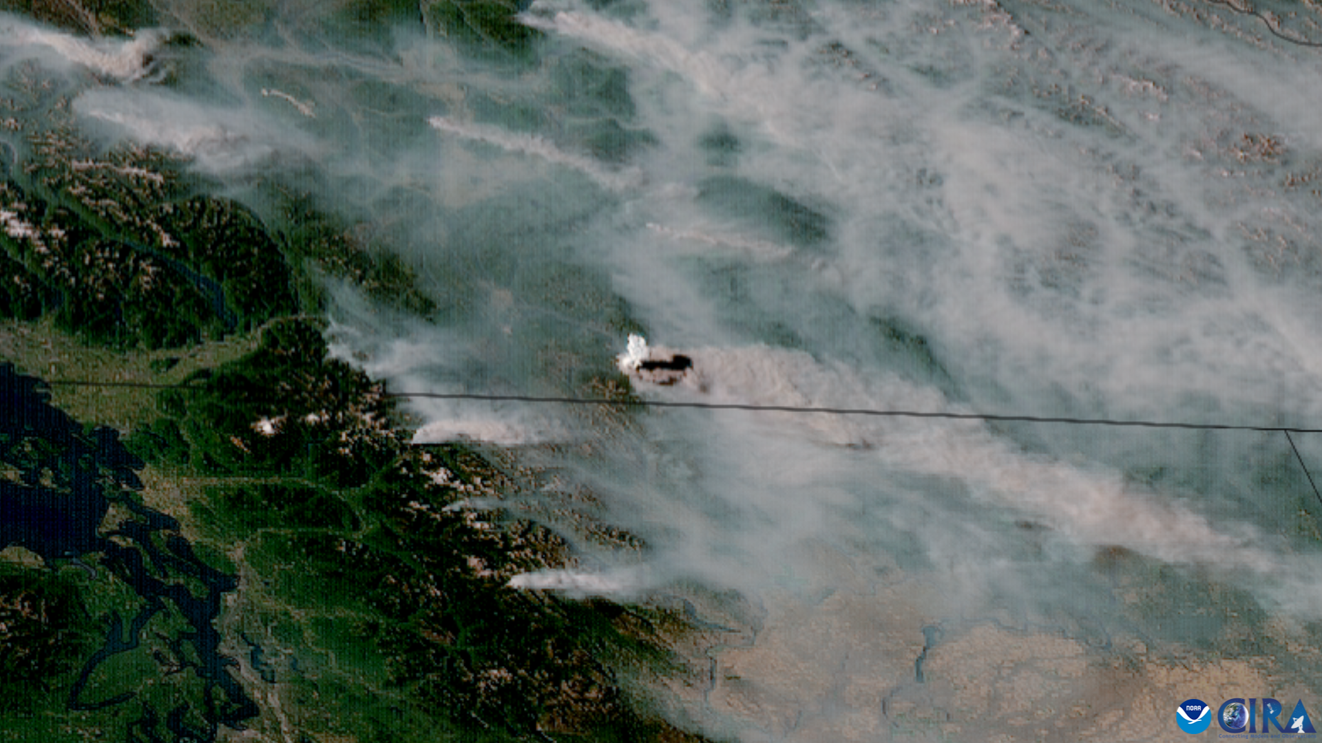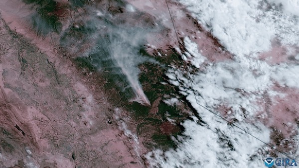
Fire weather prediction is not easy — there are so many different types of challenges that forecasters face both before a wildfire sparks and even while it's active. These fires can ignite any time, and anywhere. So many different factors must be considered before estimating how quickly one can spread, and how deeply it may impact our lives and our communities.
"The biggest challenges involve forecasting in complex terrain, a 'fuels assessment,' and communicating the message of risk," Heath Hockenberry, National Fire Weather Program Manager at the National Oceanic and Atmospheric Association's National Weather Service, said last week. "Complex terrain includes steep slopes, intersecting valleys and other geographic factors that cause small-scale changes in weather. Meteorologists still have to interpret and improve the highly complex weather models to make them actually work when the mountains and valleys change the winds and rainfall."
Weather plays a huge role in wildfire development and lifespan, especially when it comes to lightning.
Related: U.S. government awards NOAA millions for wildfire response research
The millions of strikes that we have across the United States annually contribute not only to hundreds of injuries and just under two dozen fatalities, but they can also spark wildfires within seconds. This hazardous lightning poses a threat especially when not accompanied by rain, allowing for a single strike to ignite a full-fledged fire. Many times, in the right conditions, those fires can rapidly expand, threatening communities with barely any warning. And that's if there's a warning at all.
So, to assist forecasters, artificial intelligence has been incorporated in predicting these disasters, which continue to be exacerbated because of human-driven climate change.
"The best kinds of improvements AI can bring is probably helping humans distinguish the unusual with the exceptional," Hockenberry said. "There are over 80,000 wildfires each year, which is substantially more than the number of tornadoes or hurricanes in a year. AI and other machine learning will most likely continue to narrow down these thousands and thousands of fires into the ones posing the highest risk to our nation."
AI is not uncommon at the organization — such techniques have been used in the past to help predict severe weather and hurricane development, pinpointing volcanic eruptions and even assisting the aviation community with monitoring cloud conditions. One example of this is a mechanism called ProbSevere, used by forecasters at the National Weather Service (NWS) to provide more lead time ahead of severe weather as they monitor storm development and issue both severe thunderstorm and tornado warnings. With the success of applications like this, the LightningCast AI model was developed by John Cintineo at the University of Wisconsin/Cooperative Institute for Meteorological Satellite Studies (CIMSS), and tested in 2021 to advance fire weather forecasts by providing information that's user-friendly and continuously accurate.

"AI is the automation of intellectual tasks normally performed by humans. While human experts excel at extracting information from satellite imagery, they can only analyze a small fraction of the firehose of environmental data so automation that approaches human expert skill is absolutely necessary for fully exploiting environmental data sources, such as satellites," Mike Pavolonis, physical scientist with the NOAA/NESDIS Center for Satellite Applications and Research said. "LightningCast has continued to evolve and is now routinely used by NWS forecasters for decision support, aviation forecasting, and most recently, forecasting thunderstorms at wildland fire incidents as thunderstorms are a major hazard for fire crews and such storms can be challenging to predict."
So how does this AI model work? It teams up with two of NOAA's GOES-R satellites and, every day, processes data stemming from more than 6,600 images generated by their two instruments: The Geostationary Lightning Mapper and the Advanced Baseline Imager. The machine's trained algorithm can recognize similar, complex patterns to determine where it's most likely that lightning strikes will happen within the next hour. It does this in part by generating maps within just a few seconds.
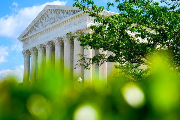
This has saved scientists time and resources to make more accurate predictions as seen here in an earlier example from Washington, D.C. on July 7, 2021.
"AI tools sift through mountains of data, which allows human decision makers to make more informed and timely decisions, while freeing up more time for communicating and coordinating with stakeholders and partners — something AI cannot do well," Pavolonis said. "AI has the potential to be a game changer in a number of ways, including early fire detection, lightning prediction, forecasting fire spread and behavior, mapping fire perimeters and assessing wildfire risk prior to ignition."
But this is only the beginning for incorporating AI into research and forecasting. With continued support from the Bipartisan Infrastructure Law and collaboration with NESDIS Cooperative Institutes, forecasters look forward to continued testing combining AI with satellite and environmental data sources to create a new algorithm for detecting fires early and even predicting behavior and spread.
"NESDIS is testing a new AI algorithm which is part of the Next Generation Fire System (NGFS) that can be applied to many different satellites and is specifically designed to detect fires earlier than existing satellite methods," Pavolonis said. "The NGFS also automatically tracks fires, allowing for near continuous monitoring of intensity and smoke production and will be evaluated by operational users during upcoming NOAA Fire Weather Testbed experiments."


