Get all your news in one place.
100's of premium titles.
One app.
Start reading
Space
Space
Science
Meredith Garofalo

How NOAA's Hurricane Hunter aircraft help satellites build a 'full picture of the storm'

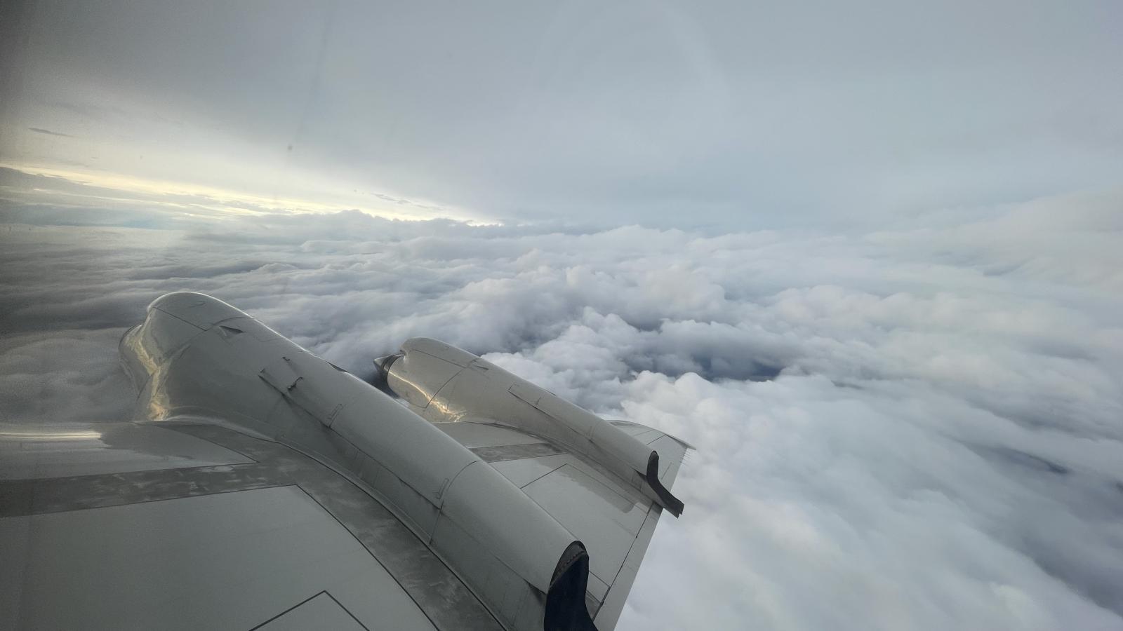
A large swirling storm can be seen off the wing of an aircraft.

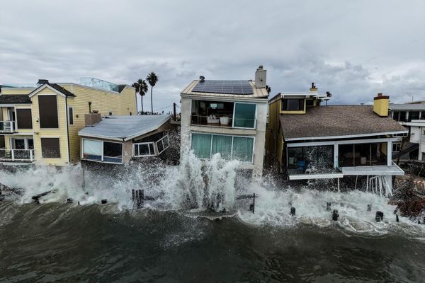
Tropical storm systems can be extremely dangerous, so getting good data about them is critical.

Weather forecasters and researchers rely on imagery and data from the U.S. National Oceanic and Atmospheric Administration's (NOAA) Geostationary Operational Environmental Satellite (GOES)-R Series satellites, to help provide advance warning to save lives and protect property — and also to better understand how these powerful storms develop and grow.

Sign up to read this article
Read news from 100's of titles, curated specifically for you.
Already a member? Sign in here
Related Stories
Top stories on inkl right now
One subscription that gives you access to news from hundreds of sites
Already a member? Sign in here
Our Picks
Fourteen days free
Download the app
One app. One membership.
100+ trusted global sources.