Route 46 is 70 kilometres long and is considered Germany’s longest officially registered motorway ruin. Today it is nothing more than a relic, recalling a major project from the Nazi era that was launched shortly before the Second World War and never completed.
The motorway runs between Bad Hersfeld and Würzburg. The route is shaped less by considerations of efficiency than by Nazi construction ideology and propaganda. It was intended to showcase to drivers the beauty of the German homeland. Scenic highlights were to include, for example, the Homburg castle ruins.
Construction was not resumed after 1945
Originally, the long stretch was planned as a north–south link through the southern Rhön and the Spessart. Initial construction work began in 1937, involving large numbers of workers and the latest construction machinery.
On 4 October 1939, work on the motorway was halted. The Second World War was looming, and priorities now lay with militarisation.
One particularly striking structure is the tall bridge pier near Schonderfeld on the Franconian Saale. Along the route there are also several typical constructions from the 1930s, such as stone-built vaulted culverts and natural stone tunnel portals. From a technical point of view, the project followed the standards of the Reich motorway network of the time.
After 1945, construction was not resumed, partly because the route was impractical, being too narrow in places and featuring steep gradients, and partly because the Federal Republic set new priorities in transport planning. Instead, the A7 was built as the north–south axis through Hesse and northern Bavaria.
Route 46 has been a listed monument since 2003. It is regarded as the longest continuously preserved section of a motorway route in Europe that was never completed or opened to traffic.
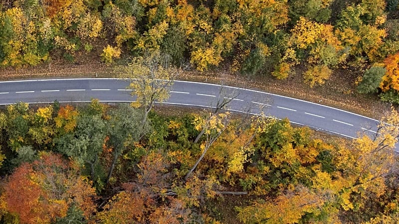
The former route is now firmly integrated into the landscape and in places provides a habitat for flora and fauna as well as a trail for hikers.
In some places, information boards have been installed explaining the history of Route 46.
This text was translated with the help of artificial intelligence. Report a problem : [feedback-articles-en@euronews.com].