What you need to know
- Google is introducing new features for Maps focused on U.S. national parks.
- These updates will make it easier to locate and navigate parks and trails.
- Google Maps will provide an easily accessible "download" button for offline navigation.
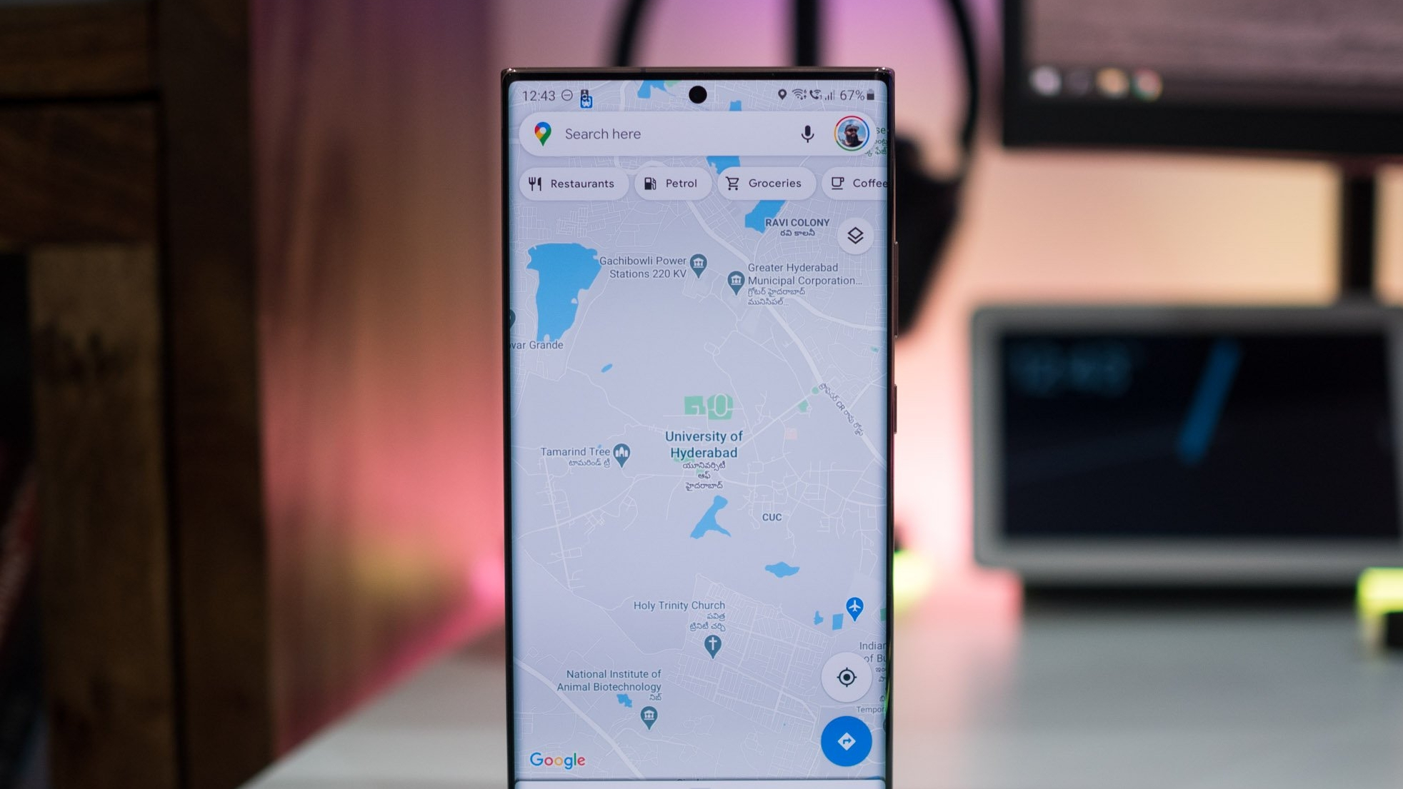
As one of the most popular navigation apps, Google Maps is constantly being updated with more information and new features to help users get around. With a new set of features coming in April, Maps will make it easier to plan your next trip to a U.S. national park.
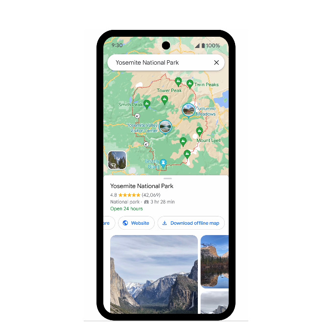
To start, Google is making it easy to identify various attractions and points of interest. When searching for a national park, you can tap on a photo on the map to get more information about a particular attraction, including reviews, images, and more. These are based on posts from the community, so you'll be able to get a better idea of what might best fit your trip.


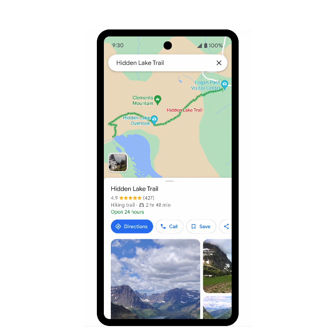
You'll also be able to better plan your route into a park with markers that highlight park entrances. In addition, Maps will also direct you to trailheads while highlighting entire trails on the map so you'll have a better idea of what to expect. Users can select a trail to gain more information about it from other Maps community users, including photos, difficulty, the type of trail, and the method that works best for the trail, such as walking or biking.
Lastly, Google knows that reception isn't always the best when trekking through nature. Fortunately, Google Maps allows users to download maps for offline use. It's not always an intuitive experience, which is why Google is adding an easy-to-access "download" button, which you can find a national park listing.

These features are coming to the United States later this month, but Google also plans to bring these updates to parks around the world "in the coming months."


