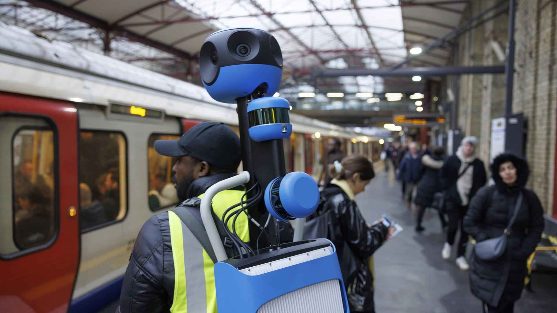
Visitors and commuters in London can now use Google Maps to help them navigate through major stations on London's Tube and rail network.
Google Street View is now available for 18 stations with a further 18 to be added before the end of 2024.
Transport for London (TfL) has announced that Google Street View is now available for 18 London Tube stations, with another 18 due to be added by the end of the year.
That means visitors to England's capital as well as commuters can see the inside of major stations in Google Maps on their iPhones or Android phones before they travel, which helps plan routes. For example, you can check out where the exits are on each platform to ensure you board the most convenient carriage on a train.
Google has been travelling the London Underground and Overground network for a year to capture 360-degree images inside the stations. Passenger and staff faces were then blurred for privacy before the rollout.
The stations available in Maps today are Baker Street, Bank, Bond Street, Canada Water, Cannon Street, Charing Cross, Custom House, Embankment, Euston Square, Farringdon, London Bridge, Monument, Old Street, Oxford Circus, Tottenham Court Road, Tottenham Hale, Westminster, and Whitechapel.
They will soon be joined by Camden Town, Canary Wharf, Canning Town, Clapham Junction, Euston, Green Park, Hammersmith (District & Piccadilly), Hammersmith (Hammersmith & City Line), Highbury & Islington, King's Cross, Liverpool Street, Moorgate, Paddington, South Kensington, St. Pancras, Stratford, Victoria Station, and Waterloo.
"By combining Google's Street View technology with TfL and Network Rail's expertise, we're breaking new ground in transport accessibility and wayfinding<" said Google UK's managing director, Debbie Weinstein.
"I'm personally excited to see how this recent collaboration empowers people to explore and experience London's transport network in a whole new way."
You may need to update Google Maps to see the new Street View options.


