One thing we know about Google and its parent company Alphabet (GOOGL) -) is that the company vacuums up a lot of data.
Whether its personal data, climate data, traffic data, cellphone usage data or biometric data, Google is in the data gathering business. Google collects so much data that it's impossible to tell exactly what the company is doing with all of that information.
X Development is Google's super-secret "moonshot" project development arm that is working on some of Google's most forward-looking projects like its augmented reality play Google Glass and driverless car software system Waymo.
Related: July was the hottest month on record — here's the economic impact explained
Being able to walk around major cities with augmented reality glasses that feature a tiny pinhole camera that (again) inhales a bunch of data, or the ability to take your hands off the wheel while driving, is enticing for people who can't wait to live like the society in Blade Runner. But the average person isn't really benefitting from the data tradeoff.
But Google is finally bringing one of its data intensive projects to the U.S. that could benefit some of the people most vulnerable to the grim realities of climate change.
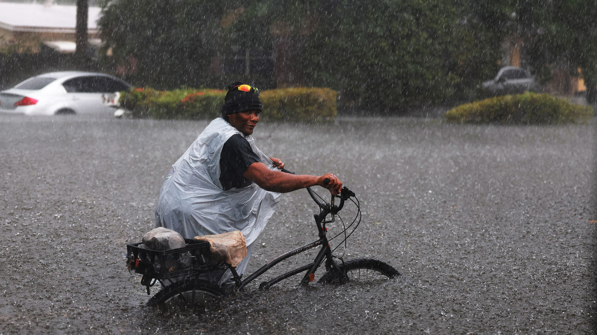
This week, Google launched Flood Hub in the U.S. and Canada. The tool uses data gathered from thousands of satellite images matched with artificial intelligence to build a digital model of a certain area, including a hydrological model (how river water will change) and an inundation model (places where river flood water could reach).
More Technology:
- The company behind ChatGPT is now facing a massive lawsuit
- Prominent EV company says latest deal will be the first of many
- Apple makes a big new move with Elon Musk's Twitter
Flood Hub now covers more than 800 locations across North America near rivers where more than 12 million people live.
The images and data is used to give an early warning to people in the potential flood zone, potentially saving lives in the process.
Earlier this year, Google expanded access to Flood Hub to 80 countries, including 60 developing countries across Africa, the Asia-Pacific region, Europe, South and Central America.
The tool gives forecasts up to 7 days in advance.
"Floods are the most common natural disaster, causing thousands of fatalities and disrupting the lives of millions every year. Since 2018, Google Research has been working on our flood forecasting initiative, which uses advanced AI and geospatial analysis to provide real-time flooding information, to help inform communities and individuals to prepare for and respond to riverine floods," said Yossi Matias, VP of engineering and research at Google.
Get investment guidance from trusted portfolio managers without the management fees. Sign up for Action Alerts PLUS now.


