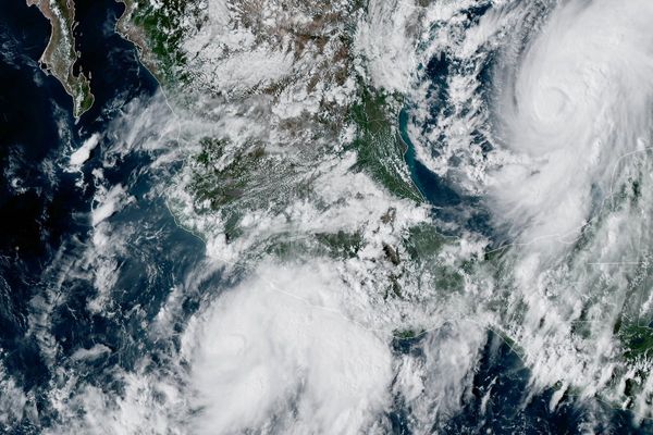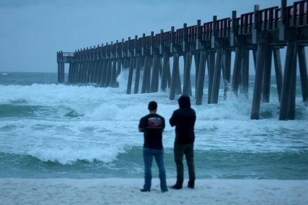
As local communities along much of the east coast deal with the muddy aftermath of extraordinary rainfall, aerial images begin to show the scale of this disaster.
Just days after our saturated rivers and creeks broke their banks, flights for location intelligence company Nearmap dodged clouds and continuing wild weather from Gympie to Grafton — a 500km stretch — to capture this imagery.
Eleven years after being hit by huge floods, south-east Queensland was first in the firing line, as a La Niña pattern turbocharged by climate change created a weather system that dumped unprecedented amounts of rain, causing flooding and widespread destruction.