HEAVY rainfall which soaked the region this week has Hunter SES crews on alert with more wet weather on the way.
The Central Coast was hit particularly hard and while floodwaters have started to recede, NSW SES Northern Zone superintendent Peter Keegan has turned his focus to the weekend.
"We've had heavy falls early in the week which caused minor flooding," he said.
"All the jobs or requests for assistance have pretty much been dealt with but we are preparing for more weather at the weekend.
"At this stage we're going to monitor the systems and hopefully we won't be impacted like we were last week."
Out of area crews came from the Sydney and the Mid North Coast to help tackle calls for assistance in the wake of this week's wet weather.
Mr Keegan said there are no immediate concerns about having to call them back.
"It's always good to stay alert, not alarmed," he said.
"There's always potential for some weather just south of Newcastle which may encroach on that Newcastle area but that will be monitored as we get close to the weekend.
"We'll know more then, the day of interest will probably be Saturday."

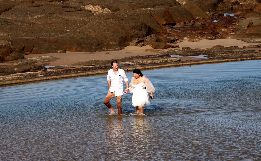
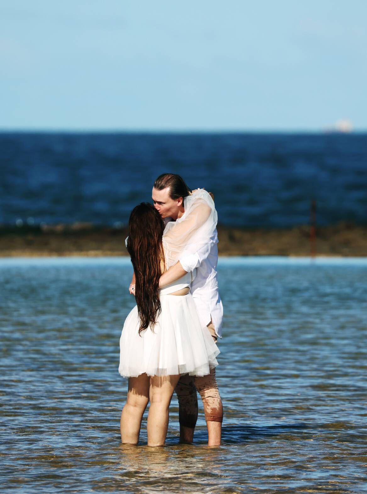
Newlyweds Grant and Andrea Goodlet made the most of Thursday's blue skies, kicking off their shoes at the Newcastle Ocean Baths just two hours after they said 'I do'.
Mr Goodlet said the pair met on a Sydney train, where he plucked up the courage to ask for her number.
"We've been together probably about a year, we got married at the Newcastle registry office, we didn't want to wait," he said.
"It was actually a lot quicker to do it up in Newcastle, around a month whereas in Sydney you have to wait about 12 weeks.
"It was really good, the weather was heaps good so that was really nice."
Mr Goodlet said he fell in love with Andrea's personality, telling the Newcastle Herald she's "very sweet" and "funny with a good sense of humour".
From Friday and across the weekend, the Bureau of Meteorology (BOM) expects the state to see an increase risk of moderate to heavy rainfall due to an upper-level trough combining with a moist onshore flow.
It could bring with it a risk of widespread, heavy rain to the southern half of the coast and nearby ranges during the weekend and into early next week.
The flood risk is elevated across NSW, particularly from the Hunter through to the south coast where soils are already saturated.
Isolated minor flooding could be on the cards, but widespread riverine flooding is not expected.
BOM community information officer Brooke Pagel said rainfall is expected to increase on Friday afternoon and evening for the Hunter.
"It's really going to ramp up for Saturday, that's the main day by the looks of things where we're going to get those really high amounts," she said.
"We're looking at between that 15mm and 30mm on Saturday and then it completely backs off on Sunday.
"We may have a lingering shower in the morning but we're only expecting 5mm at the most on Sunday."
There may be a shower or two on Monday, but come Tuesday the wet weather is expected to clear out with the coastal trough moving east.
Temperatures are expected to sit around a minimum of 12 to 13 degrees, with maximums between 22 and 24 degrees from Tuesday onwards.
Ms Pagel said it is typical to see these wet weather systems around this time of year.
"This one is a really short-lived one, it's really only over this weekend but we did have some rain earlier on in the week," she said.
"We have a lot of moisture and temperature differences in NSW compared to other states."
Ms Pagel said the BOM is keeping an eye on the Central Coast and Hunter Valley, where the catchments are quite wet.
"We are looking at potential warnings for that heavy rainfall but also flash flooding may be a risk over the next couple of days," she said.
"Flash flooding seems to be the key risk we will probably face going into Saturday because of the period of heavy rainfall."


