Planet Earth is on a trajectory to cross a dangerous climate warming threshold in the next decade unless speedy action is taken to drastically curb greenhouse gas emissions, a new United Nations report states.
Such global warming will have environmental consequences that would affect billions of people all over the world. Here we look at some of the worst weather disasters that hit the planet over the past 12 months, providing a disconcerting glimpse of what may lie ahead.
The report, released by the Intergovernmental Panel on Climate Change (IPCC), a U.N. advisory body, on Monday (March 20) states that, without strengthening mitigation policies, the world may warm by more than 5.4 degrees Fahrenheit (3 degrees Celsius) by the end of this century. Experts warn that any warming beyond the 1.5 degree C (2.7 degrees F) threshold, identified in the 2015 Paris Agreement, will have unpredictable effects. This threshold, the report states, may be breached as early as 10 years from now.
"Warming of 3 degrees [C] would have a dramatic impact on human health, the biosphere, food security and the global economy," Petteri Taalas, the Secretary General of the World Meteorological Organization (WMO), commented on the IPCC report in a statement. "Many of those risks could be avoided if we would stay within 1.5 degrees [C] warming."
Related: 10 devastating signs of climate change from space
He added that the WMO will soon release its own global climate change report, which will show that "all of the climate parameters are moving in totally the wrong direction." Those parameters include "ocean warming, ocean acidification, melting of glaciers, sea level rise, flooding and drought events, and concentrations of carbon dioxide, methane and nitrous oxide" in Earth's atmosphere.
We may already have a glimpse of what these "wrongly heading parameters" mean in real life. In the past 12 months, many parts of the world experienced weather-related disasters that were in various ways extraordinary. The five events presented here, however, are just the tip of the iceberg.
1. Europe hit by worst drought in 500 years

The summer of 2022 was like no other across swaths of western and central Europe. The proverbially rainy England didn't see a drop of rain in weeks. For a few days in July, temperatures soared to unprecedented (for England) 105 degrees F (40 degrees C), smashing records across the country. In Germany and the Netherlands, water levels in the mighty Rhine River, Western Europe's most important waterway, dropped so low that ship traffic had to be restricted for weeks. The Danube and Po rivers, in Eastern Europe and Italy, respectively, experienced similar conditions.
Over a period of several months, satellites watched from space as the usually green and lush continent turned a parched beige. Authorities in several European countries, such as Spain, the Netherlands, France and the U.K. instated water usage restrictions, including car washing and garden irrigation bans. According to the European Union's environmental program Copernicus, the drought of 2022 may be the worst the continent has experienced in 500 years.
2. Pakistan sees worst floods in history
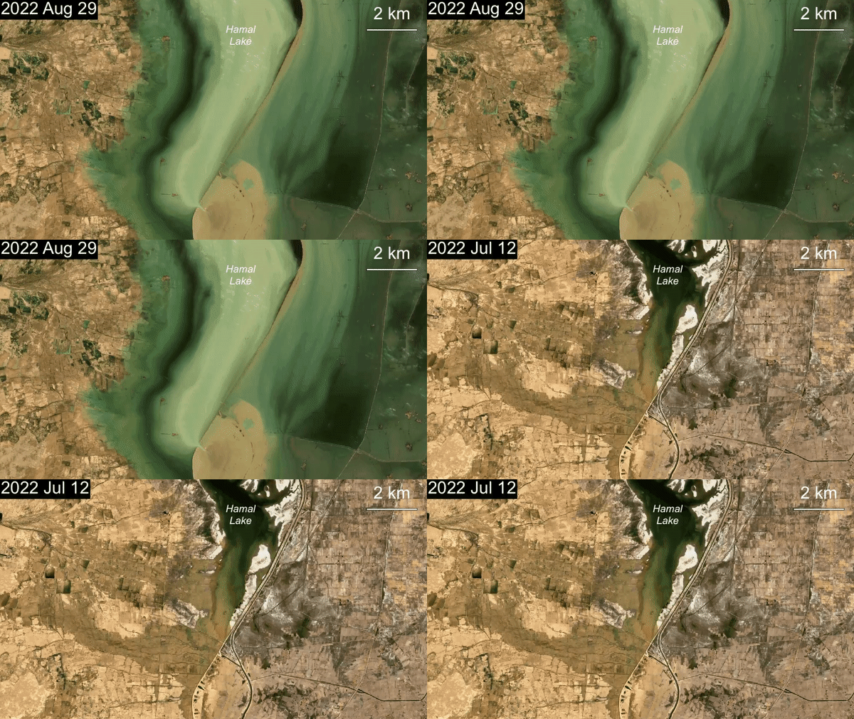
While water levels in European rivers were hitting record lows, the mountainous Pakistan in southwestern Asia struggled with the exact opposite problem. From June to October 2022, vast areas of the country were submerged in flood waters. The floods, the worst in Pakistan's recorded history, struck as a result of intense monsoon rains, which, together with unusually high temperatures, exacerbated the melting of glaciers that cover the country's spectacular mountain ranges.
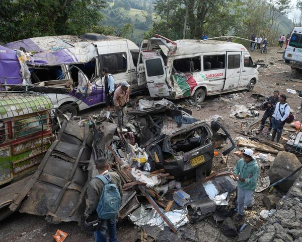
The floods killed over 1,700 people and displaced more than 2 million in relatively poor Pakistan and plunged the country into a humanitarian crisis. Six months after the floods officially subsided, contaminated and stagnant water still affects nearly 2 million of Pakistan's 230 million inhabitants, according to the Center for Disaster Philanthropy (CDP).
Pakistan, which according to the CDP produces less than 1% of global greenhouse gas emissions, is a textbook example of the disproportionate impacts of climate change on poor and developing nations.
According to an IPCC statement released with the new report, "almost half of the world's population lives in regions highly vulnerable to climate change." Moreover, the number of casualties from climate change-related weather disasters in those regions increased by a factor of 15 over the past decade.
3. Hurricane Ian batters Florida and Fiona makes landfall in Canada
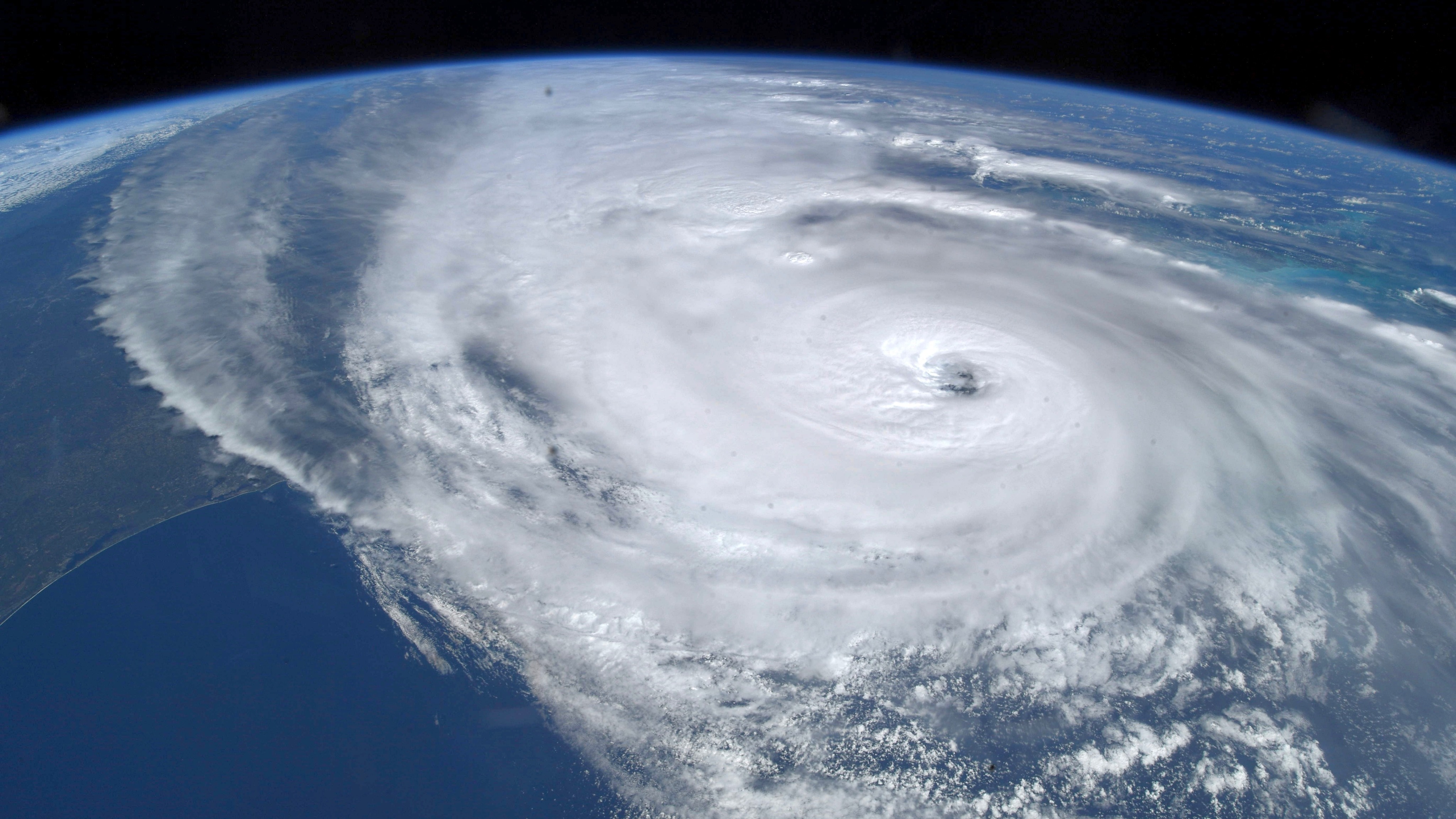
The Atlantic hurricane season of 2022 started late. For the first time in 25 years, not a single named tropical storm emerged above the Atlantic Ocean in the month of August. However, when the hurricane season finally arrived, it did so in a memorable way. Ultimately, it became one of the costliest hurricane seasons in history, largely due to the rampage of Hurricane Ian in late September.
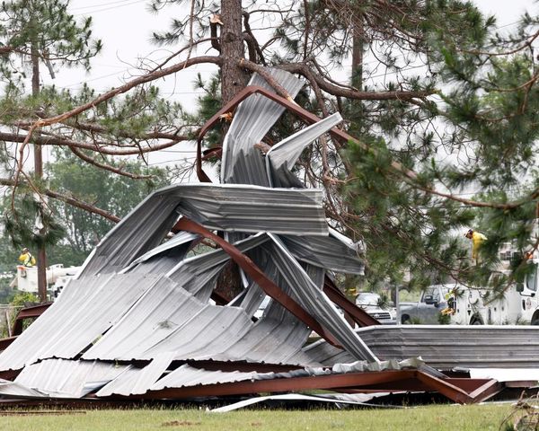
The deadliest hurricane to hit Florida since 1935, Ian was remarkable for a multitude of reasons. Peaking as a Category 4 hurricane on the 5-grade Saffir-Simpson Hurricane Wind Scale, Ian packed an enormous amount of moisture. The torrential rains the hurricane unleashed left a trail of devastating floods in the storm's wake. This intense rainfall, some scientists believe, was a direct result of climate change and the warming of Atlantic waters observed in recent years.
Another hurricane of the 2022 season, Fiona, entered the history books when it reached Canada's east coast while still at the level of a Category 2 hurricane. The most powerful and costliest post-tropical storm in Canada's history, Fiona flooded dozens of homes and knocked down thousands of trees across the Canadian provinces of Quebec, New Brunswick, Prince Edward Island, Nova Scotia and southern Newfoundland.
4. Freddy, the longest-lived tropical storm ever, pummels West Africa twice
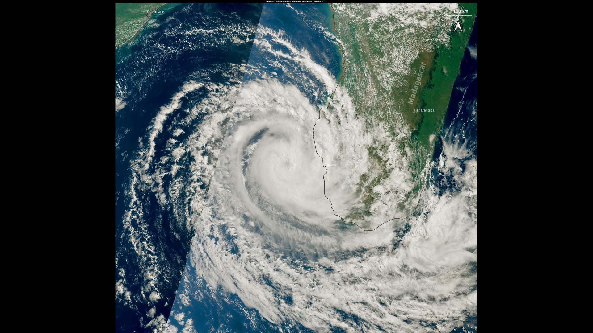
Tropical storm Freddy received much less media attention than Ian and Fiona when it rampaged western Africa in February and March 2023. From a weather disaster perspective, however, Freddy was a storm of a kind never seen before.
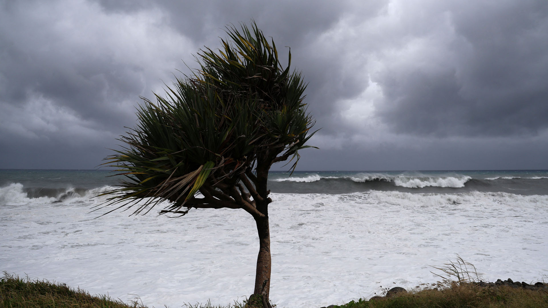
With peak sustained wind intensity of more than 155 mph (250 kph), Cyclone Freddy was equal to a Category 5 hurricane. The cyclone, which first emerged off the coast of Australia in early February, became the longest-lasting tropical storm in recorded history as it tracked across the Indian Ocean over a period of five weeks.
In meteorological jargon, Freddy was also the cyclone with the highest accumulated energy ever. Over its more than month-long life, Freddy unleashed as much wind energy as all North Atlantic tropical storms release during an average hurricane season, according to the World Meteorological Organization.
Freddy caused little harm over the first three weeks of its existence as it tracked above open waters, but when it finally reached inhabited areas, it did so in a way unseen before. Freddy first wreaked havoc on the tropical island of Madagascar on Feb. 22 as a Category 2 storm. It then continued to Mozambique on the east African coast, where it surprised meteorologists by performing a U-turn and returning to Madagascar, and then bounced back toward Mozambique for its final landfall.
While Freddy's death toll of 220 people may not seem that severe for such a powerful storm, meteorologists warn that Freddy's force and long duration are harbingers of things to come as climate change continues to warm oceans.
5. Antarctic sea ice hits record low
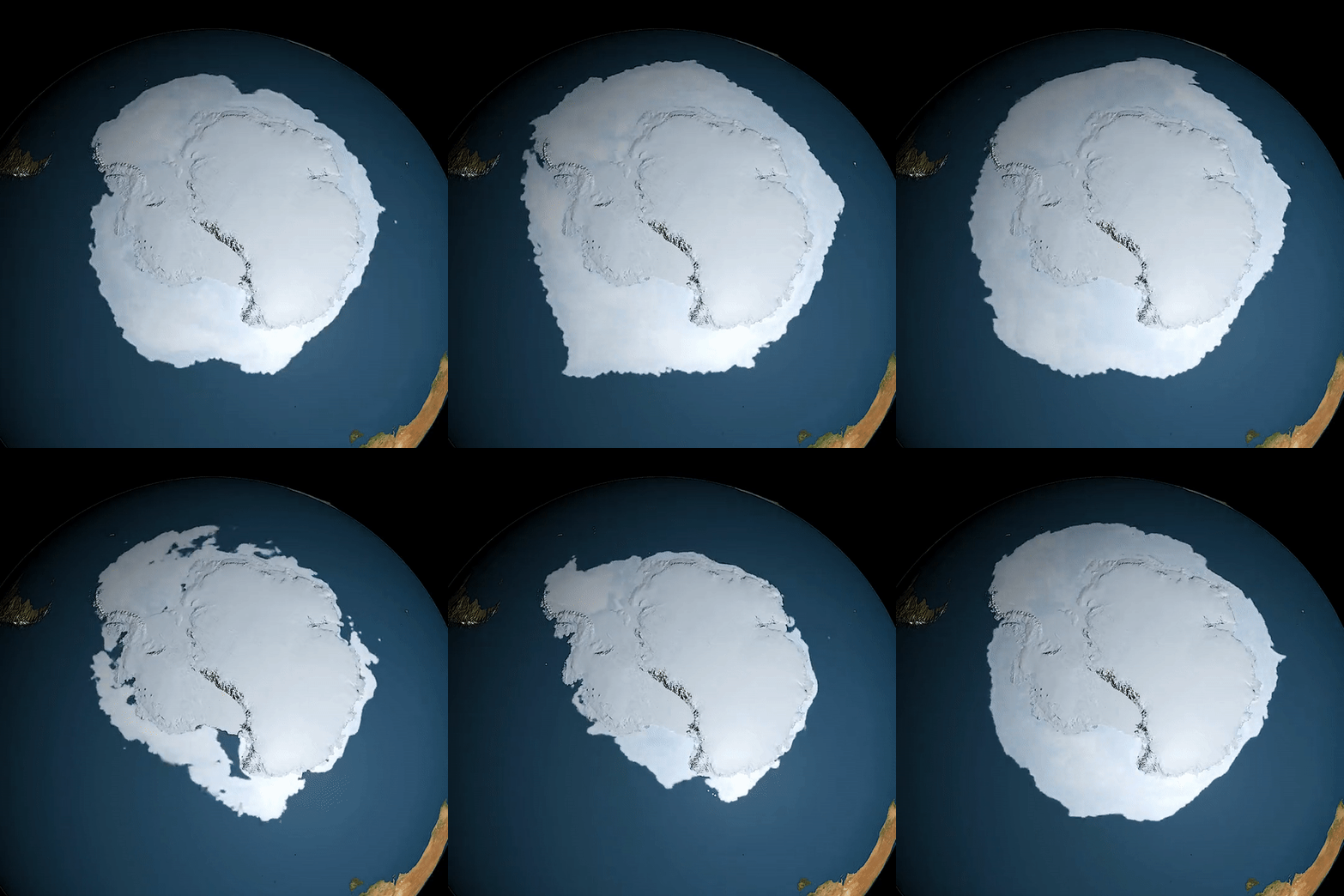
Bad news arrived in February from scientists monitoring the Antarctic ice cap. The extent of floating sea ice surrounding the frosty continent shrank to a record low as the southern summer peaked, to only 66% of the levels usually present at this time of the year.
The previous monthly record low out of a series of measurements that dates back to 1979 was reported in 2017, officials with the European Copernicus program said in an emailed statement.
Europe's Sentinel satellites found below-average sea ice concentrations in all regions of the Southern Ocean, the southernmost part of the global ocean that surrounds Antarctica.
"Our latest data show that Antarctic sea ice reached its lowest extent in the 45-year satellite data record," Samantha Burgess, deputy director of the Copernicus Climate Change Service, said in the statement. "These low sea ice conditions may have important implications for the stability of Antarctic ice shelves and ultimately for global sea level rise. Polar ice caps are a sensitive indicator of the climate crisis, and it is important to closely monitor the changes occurring there."
What's next?
The IPCC report, however, aims for an optimistic note. All is not lost, the report's authors believe, as humankind has the tools and resources to curb greenhouse gas emissions aggressively and, if not entirely reverse, then at least somewhat limit the warming trend.
"There is sufficient global capital to rapidly reduce greenhouse gas emissions if existing barriers are reduced," the IPCC statement says. "Increasing finance to climate investments is important to achieve global climate goals. Governments, through public funding and clear signals to investors, are key in reducing these barriers."
But what if the governments don't take the cue? Then we are certainly headed for more Fionas, Ians, Freddys and record-breaking floods and dry spells, scientists say.
"Every increment of warming results in rapidly escalating hazards," the IPCC statement says. "More intense heat waves, heavier rainfall and other weather extremes further increase risks for human health and ecosystems."
Follow Tereza Pultarova on Twitter @TerezaPultarova. Follow us on Twitter @Spacedotcom and on Facebook.
