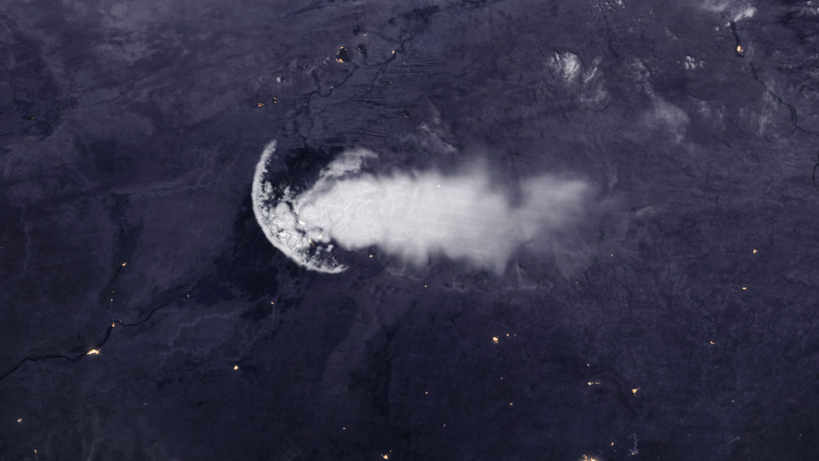
Where is it? Central Mali, Africa.
What's in the photo? A massive, jellyfish-shaped thunderstorm cloud.
Which satellite took the photo? Suomi National Polar-orbiting Partnership (Suomi NPP).
When was it taken? Sept. 27, 2018.
This striking photo shows an extremely unusual thunderstorm cloud in the shape of a jellyfish floating above western Africa.
The oddly shaped cloud, which was roughly 185 miles (300 kilometers) long, was spotted above central Mali by the Suomi NPP weather satellite, which is co-run by NASA and the National Oceanic and Atmospheric Administration (NOAA). The "bell" of the jellyfish is located above the city of Mopti, while the "tentacles" stretch into Burkina Faso, according to NASA's Earth Observatory.
The bizarre cloud was the result of a meteorological phenomenon known as an outflow boundary, which is essentially a shock wave of fast-moving air that radiates from thunderstorm clouds. Outflow boundaries, also known as gust fronts, are triggered when cold air from the clouds descends to the surface, according to NOAA. When this movement, known as a downdraft, happens, cold air then starts to rapidly expand outward like ripples in a pond, forcing warmer air upward.
"The arc-shape line of clouds is caused by less dense air being lifted up and over the boundary," Joseph Munchak, a meteorologist at NASA's Goddard Space Flight Center, told Earth Observatory.
Related: 12 amazing images of Earth from space

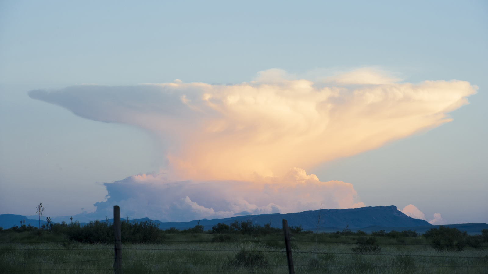
Normally, this creates a large disk of elevated clouds, known as shelf or roll clouds, which often looks like an anvil when viewed from the ground. But in this case, only part of the disk formed because the outflow boundary was partially disrupted by wind shear, Munchak said.
In dry regions, outflow boundaries can sweep up dust and sand from the surrounding landscape, creating short-lived walls of particulates known as haboobs, according to Earth Observatory. These dust storms, which usually last just a few minutes, often appear as if from nowhere after thunderstorms and can majorly reduce visibility and air quality, according to the National Weather Service.
Outflow boundaries can also sweep up other objects, including insects, seeds and even birds. When this happens, the wave of debris can sometimes show up as dense rings in radar images captured by weather satellites, The Washington Post reported.


