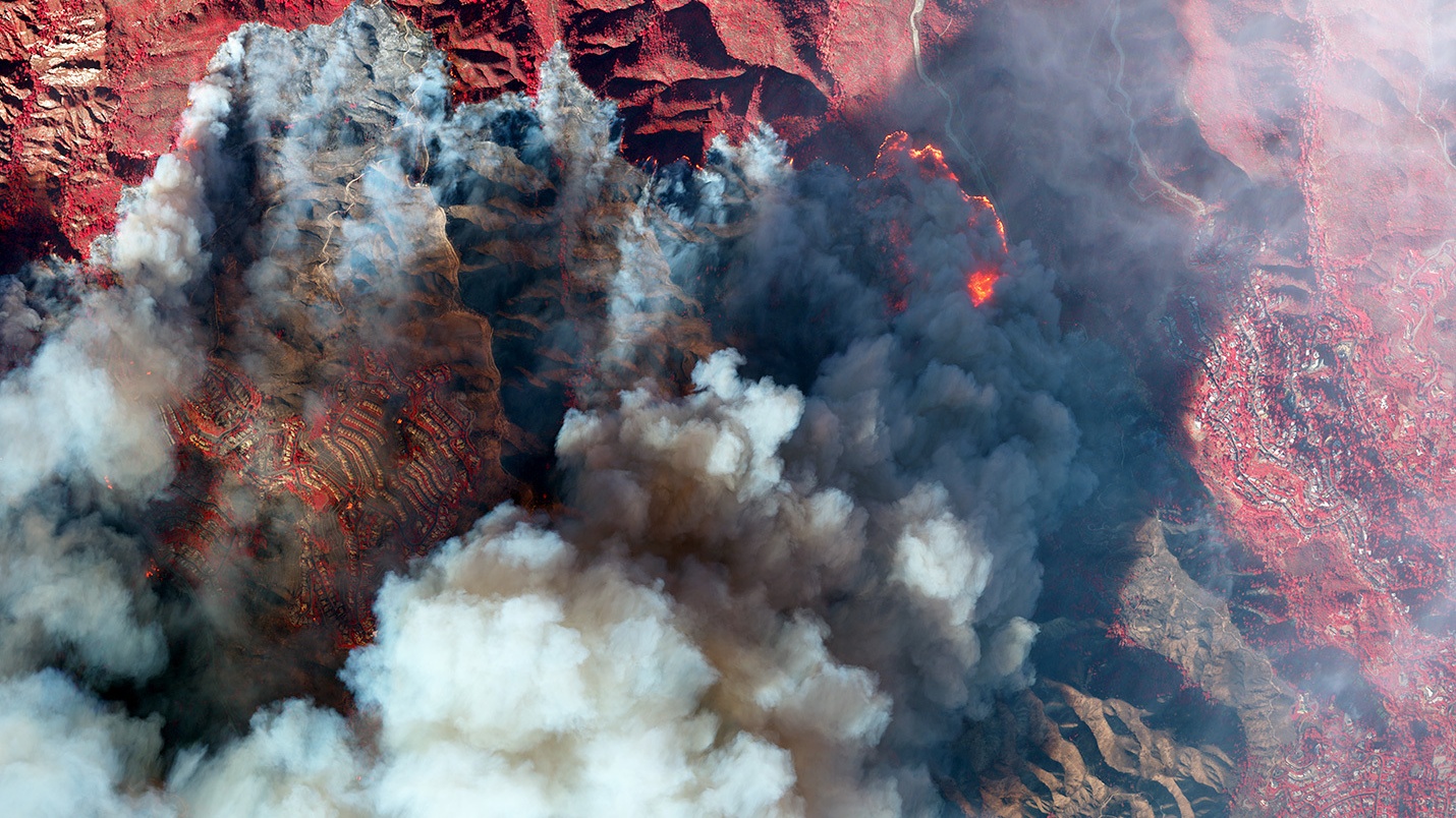
Satellite images show the massive scale of destruction caused by huge, fast-moving wildfires in Southern California that were still raging through Friday (Jan. 10), killing at least 10 people, injuring many more and charring over 34,000 acres of land populated by thousands of homes and businesses.
The timelapse video above shows smoke billowing from the wind-driven coastal Palisades fire in the lower left — the largest of five fast-moving wildfires in Southern California. This particular wildfire ravaged nearly 20,000 acres since it ignited on Tuesday morning (Jan. 7), becoming the most destructive wildfire in Los Angeles history. At the time of writing this article, the Palisades fire is 8% contained.