What do we know about the flooding?
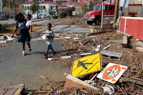
Parts of eastern Libya have been hit by devastating flooding after Storm Daniel pounded the country’s Mediterranean coast. Confirmed death tolls given by officials so far have varied, but all are in the thousands, with thousands more on lists of the missing.
Apocalyptic footage of widespread damage has emerged from the port city of Derna, where officials estimate that as many as 20,000 people may have died:
This photograph from Monday shows extensive damage to buildings on the banks of the river the morning after the flood:

This photo taken on Tuesday shows a large mass of water where a coastal road once stood:

This next one taken on Thursday shows the scene four days after the flood:

Why was Derna so badly hit?
The city with a population of 90,000 is bisected by the Wadi Derna, a seasonal river that flows from highlands to the south, and is normally protected from flooding by dams.
On Sunday night two dams collapsed, unleashing raging waters that swept away residential neighbourhoods on both banks of the river.
This visualisation shows the path the water took down the Wadi Derna valley:
In this video, a man points at what remains of one of the two destroyed dams:
This composite of satellite images locates some of the badly affected areas of Derna:
These satellite images give an overview of the flood damage in the city …
… and these show damaged neighbourhoods in more detail:
You can view more before and after imagery here.
This looped video also illustrates the scale of the destruction:
Where else was hit?
Other badly affected areas included the towns of Bayda, Shahatt, Marj and Susa, where footage showed cars piled up on each other:
Is Libya equipped to deal with the devastation?
The collapse of the two dams on Wadi Derna underscored the weakness of Libya’s infrastructure after more than a decade of chaos. The oil-rich nation remains divided between two rival administrations: one in the east and one in the west, each backed by different militias and foreign governments.
Which other countries have been affected by Storm Daniel?
The storm killed at least 27 people when it struck parts of Greece, Bulgaria and Turkey last week before moving south. This map and the satellite footage below it show the path of the storm:
Footage from Greece from last week showed cars being swept into the sea and sinkholes opening in roads after days of torrential rain in the centre of the country.