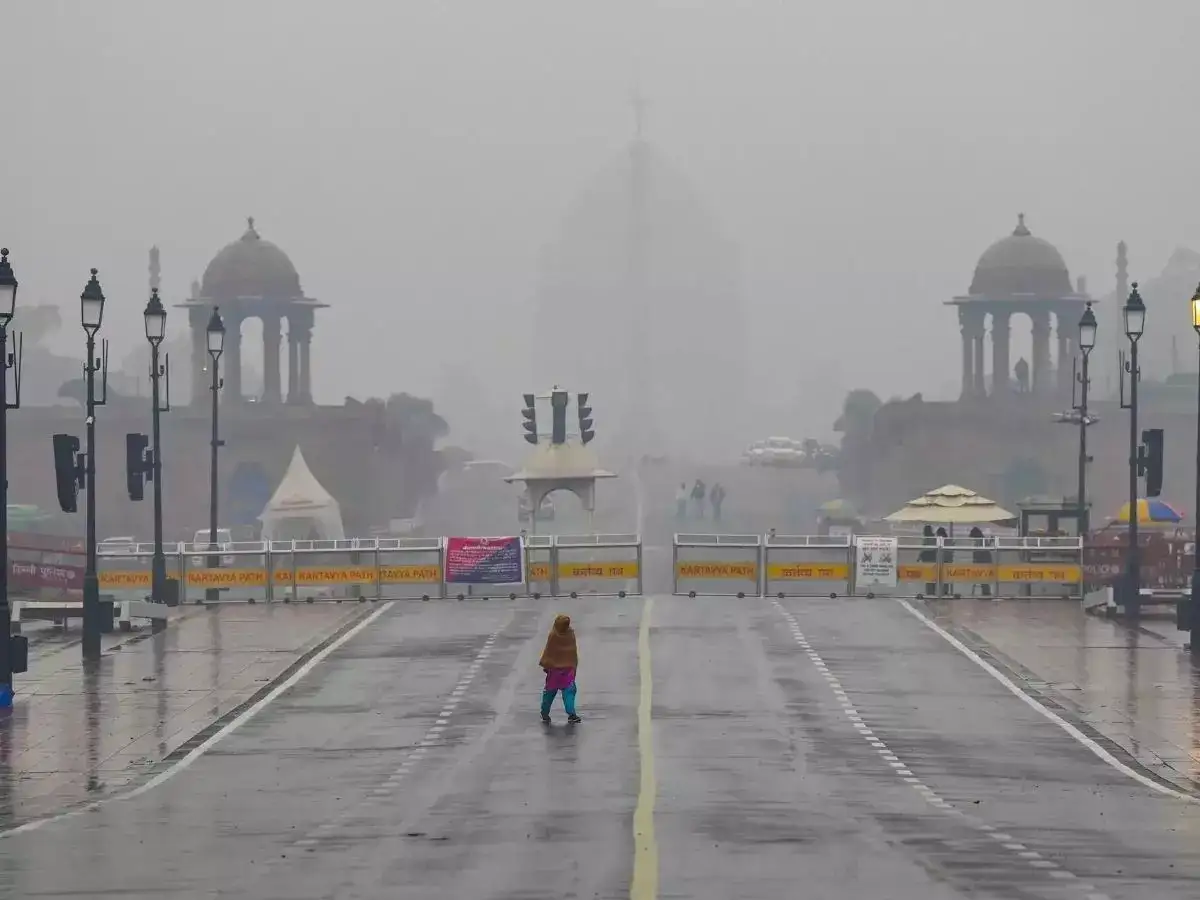
Delhi and the National Capital Region (NCR) are likely to witness a sudden weather shift in the coming days, with the India Meteorological Department (IMD) forecasting light to moderate rainfall along with thunderstorms. The weather department has also warned of strong winds reaching up to 80 kmph in some areas, bringing relief from rising temperatures but creating challenges for commuters.
Delhi Rain Forecast:
The change in weather is expected to impact Delhi as well as nearby NCR cities including Noida, Gurugram, Ghaziabad and Faridabad. According to the IMD, this pre-monsoon activity has developed due to the impact of western disturbances.
The weather department has advised people to remain cautious while stepping out as heavy winds, lightning and rain may affect daily movement.
Delhi Weather Today: Strong winds, rain may affect traffic movement
The IMD has predicted wind speeds of around 60 to 70 kmph, which may increase up to 80 kmph at some places. The combination of rain and strong winds could lead to waterlogging, slippery roads and traffic disruptions in several areas.
Authorities have advised people to avoid standing in open areas during thunderstorms. Residents have also been asked to stay away from electric poles and trees during strong winds to reduce risks.
Farmers have been advised to take necessary steps to protect their crops from possible damage due to rain and wind activity.
Delhi Weather Forecast: Thunderstorm, rain likely
The weather system is expected to bring rainfall and thunderstorms across several parts of Haryana and nearby regions.
Rain with lightning and winds of 60-70 kmph is likely in areas including Kaithal, Narwana, Karnal, Fatehabad, Rajound, Assandh, Safidon, Barwala, Jind, Panipat, Adampur, Hisar, Gohana, Gannaur, Hansi, Siwani, Maham, Sonipat, Tosham, Rohtak, Kharkhoda, Bhiwani, Charkhi Dadri, Mattanhel and Jhajjar.
Other areas likely to see weather activity include Loharu, Farrukhnagar, Kosli, Mahendragarh, Sohna, Rewari, Palwal, Narnaul, Bawal and Nuh in Haryana.
Parts of western Uttar Pradesh including Shamli, Kandhala, Khatauli, Sakouti Tanda, Hastinapur, Baraut, Daurala, Baghpat, Meerut, Khekda, Modinagar, Kithore, Garhmukteshwar, Pilkhua and Hapur may also experience rainfall and thunderstorms.
Moisture from Arabian Sea behind weather change
Weather expert Mahesh Palawat of Skymet Weather said the current weather activity developed due to a cyclonic circulation over Punjab, Haryana and nearby regions.
"There was a cyclonic circulation over Punjab, Haryana and nearby areas, which led to rain over Delhi. Moisture-laden southwesterly winds from the Arabian Sea also helped in the development of this weather activity. Because of the moisture and the cyclonic circulation, parts of Punjab, Haryana and Delhi received rain," Mahesh Palawat of Skymet Weather said.
He said the weather activity is expected to continue for the next two days, although the intensity may gradually decrease.
"Since there is still moisture in the air, temperatures are not expected to rise significantly during this period. After that, temperatures are likely to start increasing again," he said.