
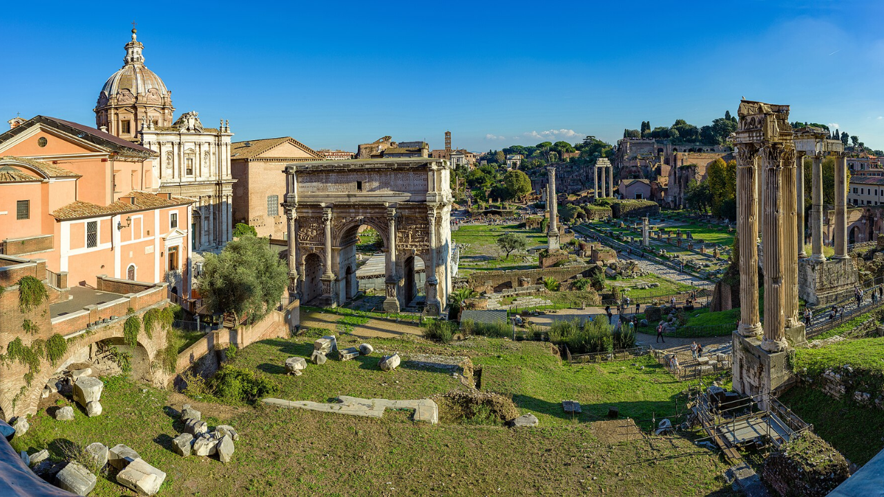
Researchers have created the most detailed digital model yet of the Roman road network, mapping 299,171.31 kilometres, or roughly 186,000 miles, of roads across the empire's full territorial extent. Published in Nature Communications, the study ‘ Network science reveals the structure and lasting impact of the Roman road system ’ used network science to test long-held assumptions about Roman roads, whether they were truly straight, how central cities like Rome actually were, and how closely Roman infrastructure still lines up with modern roads today. Here's what the empire-wide analysis found. The findings offer fresh insight into the engineering ingenuity of the ancient world. Notably, the researchers found Rome itself was not the network's most central hub.
Get breaking news anytime, anywhere. Download the TOI app now!